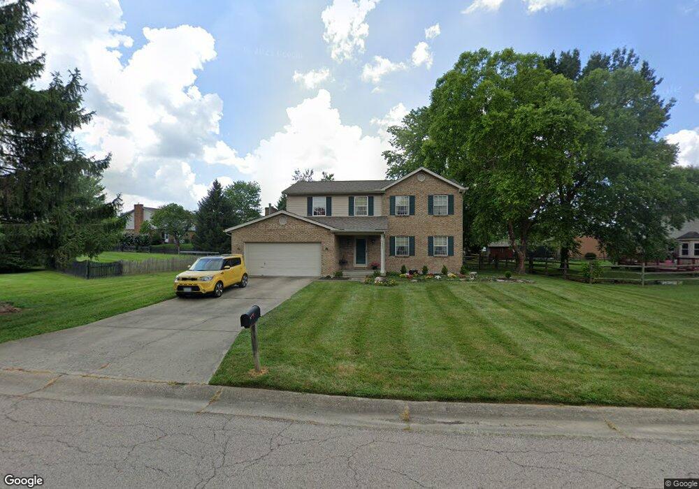
6205 Holloway Dr Liberty Township, OH 45044
Estimated Value: $387,599 - $419,000
4
Beds
3
Baths
1,939
Sq Ft
$210/Sq Ft
Est. Value
About This Home
This home is located at 6205 Holloway Dr, Liberty Township, OH 45044 and is currently estimated at $406,900, approximately $209 per square foot. 6205 Holloway Dr is a home located in Butler County with nearby schools including Woodland Elementary School, Liberty Junior School, and Lakota East High School.
Ownership History
Date
Name
Owned For
Owner Type
Purchase Details
Closed on
Jun 1, 1995
Sold by
Glorioso Nancy
Bought by
Carter Todd M and Miller Lisa
Current Estimated Value
Home Financials for this Owner
Home Financials are based on the most recent Mortgage that was taken out on this home.
Original Mortgage
$123,190
Interest Rate
8.26%
Mortgage Type
New Conventional
Purchase Details
Closed on
May 1, 1992
Create a Home Valuation Report for This Property
The Home Valuation Report is an in-depth analysis detailing your home's value as well as a comparison with similar homes in the area
Home Values in the Area
Average Home Value in this Area
Purchase History
| Date | Buyer | Sale Price | Title Company |
|---|---|---|---|
| Carter Todd M | $129,500 | -- | |
| -- | $112,900 | -- |
Source: Public Records
Mortgage History
| Date | Status | Borrower | Loan Amount |
|---|---|---|---|
| Closed | Carter Todd M | $123,190 |
Source: Public Records
Tax History Compared to Growth
Tax History
| Year | Tax Paid | Tax Assessment Tax Assessment Total Assessment is a certain percentage of the fair market value that is determined by local assessors to be the total taxable value of land and additions on the property. | Land | Improvement |
|---|---|---|---|---|
| 2024 | $4,061 | $102,550 | $12,080 | $90,470 |
| 2023 | $4,008 | $103,330 | $12,080 | $91,250 |
| 2022 | $3,629 | $72,660 | $12,080 | $60,580 |
| 2021 | $3,610 | $72,660 | $12,080 | $60,580 |
| 2020 | $3,700 | $72,660 | $12,080 | $60,580 |
| 2019 | $5,987 | $62,150 | $13,520 | $48,630 |
| 2018 | $3,542 | $62,150 | $13,520 | $48,630 |
| 2017 | $3,596 | $62,150 | $13,520 | $48,630 |
| 2016 | $3,259 | $56,000 | $13,520 | $42,480 |
| 2015 | $3,218 | $56,000 | $13,520 | $42,480 |
| 2014 | $3,225 | $56,000 | $13,520 | $42,480 |
| 2013 | $3,225 | $53,270 | $13,520 | $39,750 |
Source: Public Records
Map
Nearby Homes
- 6300 Lindsey Ct
- 6816 Devon Dr
- 6919 Millikin Rd
- 6380 Castle Hill Dr
- 7241 Stonebrook Ct
- 7162 Wyandot Ln
- 6828 Richards Dr
- 5933 Old Pebble Path
- 7113 Shady Brook Bend
- 6951 Ash Creek Ct
- 7120 Shady Brook Bend
- 7108 Shady Brook Bend
- 6512 Devon Dr
- 5913 Stones Throw Way
- 7109 Maple Creek Dr
- 6226 Richards Dr
- 6335 Gem Stone Dr
- 6581 Devon Dr
- 6777 Mahogany Ct
- BUCHANAN Plan at Hughes Retreat
- 6191 Holloway Dr
- 6201 Jessica Ct
- 6955 Devon Dr
- 6209 Jessica Ct
- 6219 Jessica Ct
- 6216 Holloway Dr
- 6206 Holloway Dr
- 6192 Holloway Dr
- 6945 Devon Dr
- 6226 Holloway Dr
- 6225 Jessica Ct
- 6937 Devon Dr
- 6241 Holloway Dr
- 6208 Jessica Ct
- 6970 Devon Dr
- 6179 Shawna Ct
- 6183 Shawna Ct
- 6171 Shawna Ct
- 6956 Devon Dr
- 6236 Holloway Dr