6205 Maxwelton Rd Clinton, WA 98236
Estimated Value: $780,000 - $951,926
5
Beds
3
Baths
2,401
Sq Ft
$357/Sq Ft
Est. Value
About This Home
This home is located at 6205 Maxwelton Rd, Clinton, WA 98236 and is currently estimated at $856,732, approximately $356 per square foot. 6205 Maxwelton Rd is a home located in Island County with nearby schools including South Whidbey Elementary School, South Whidbey Middle School, and South Whidbey High School.
Ownership History
Date
Name
Owned For
Owner Type
Purchase Details
Closed on
Dec 1, 2009
Sold by
Musgrove Carolyn L and Peterson Carolyn L
Bought by
Musgrove Carolyn L and Musgrove George B
Current Estimated Value
Home Financials for this Owner
Home Financials are based on the most recent Mortgage that was taken out on this home.
Original Mortgage
$194,500
Interest Rate
5.01%
Mortgage Type
Stand Alone First
Create a Home Valuation Report for This Property
The Home Valuation Report is an in-depth analysis detailing your home's value as well as a comparison with similar homes in the area
Home Values in the Area
Average Home Value in this Area
Purchase History
| Date | Buyer | Sale Price | Title Company |
|---|---|---|---|
| Musgrove Carolyn L | -- | Land Title & Escrow |
Source: Public Records
Mortgage History
| Date | Status | Borrower | Loan Amount |
|---|---|---|---|
| Closed | Musgrove Carolyn L | $194,500 |
Source: Public Records
Tax History Compared to Growth
Tax History
| Year | Tax Paid | Tax Assessment Tax Assessment Total Assessment is a certain percentage of the fair market value that is determined by local assessors to be the total taxable value of land and additions on the property. | Land | Improvement |
|---|---|---|---|---|
| 2025 | $5,311 | $752,346 | $370,000 | $382,346 |
| 2024 | $4,741 | $737,347 | $350,000 | $387,347 |
| 2023 | $4,741 | $722,352 | $330,000 | $392,352 |
| 2022 | $4,405 | $642,269 | $280,000 | $362,269 |
| 2021 | $3,384 | $552,323 | $230,000 | $322,323 |
| 2020 | $3,402 | $430,984 | $190,000 | $240,984 |
| 2019 | $3,122 | $445,062 | $250,000 | $195,062 |
| 2018 | $3,212 | $405,658 | $210,000 | $195,658 |
| 2017 | $2,764 | $386,849 | $190,000 | $196,849 |
| 2016 | $2,640 | $364,233 | $165,000 | $199,233 |
| 2015 | $2,597 | $336,616 | $135,000 | $201,616 |
| 2013 | -- | $323,264 | $128,000 | $195,264 |
Source: Public Records
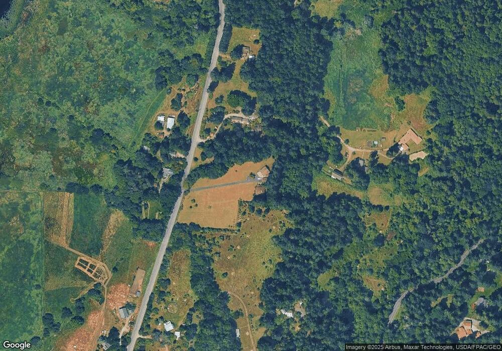
Map
Nearby Homes
- 5970 Maxwelton Rd
- 11652 State Route 525
- 4105 Tartan Way
- 4324 Shadowood Dr
- 6255 Turkey Hill Rd
- 4369 Shadowood Dr
- 0 XXX Sills Rd
- 0 Xxx Hilltop Dr
- 5777 Kramer Rd
- 6301 Sahalee Ct
- 6329 Sahalee Ct
- 6292 Sahalee Ct
- 0 E Heggeness Rd
- 6903 Heggenes Rd
- 5474 Wilkinson Rd
- 0 S Twin Cedars Dr
- 0 Sahalee Ct
- 4130 Frog Water Rd
- 2903 Grimm Rd
- 0 Lot 12 Rollinghill Rd
- 6165 Maxwelton Rd
- 6162 Maxwelton Rd
- 6137 Maxwelton Rd
- 6155 Maxwelton Rd
- 6155 Maxwelton Rd
- 3691 Campbell Rd
- 3630 Campbell Rd
- 6103 Maxwelton Rd
- 6104 Maxwelton Rd
- 6264 Maxwelton Rd
- 3776 Campbell Rd
- 3638 Campbell Rd
- 3710 Campbell Rd
- 6077 Cedar Marsh Ln
- 3794 Goldfinch Ln
- 6333 Kyllenon Hill Rd
- 6309 Maxwelton Rd
- 3792 Campbell Rd
- 6049 Cascara Way
- 6061 Cedar Marsh Ln