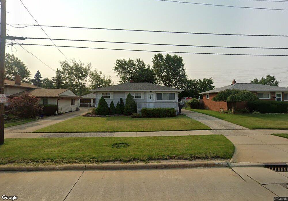
6205 Michael Dr Brookpark, OH 44142
Estimated Value: $192,395 - $216,000
3
Beds
1
Bath
952
Sq Ft
$216/Sq Ft
Est. Value
About This Home
This home is located at 6205 Michael Dr, Brookpark, OH 44142 and is currently estimated at $205,349, approximately $215 per square foot. 6205 Michael Dr is a home located in Cuyahoga County with nearby schools including Berea-Midpark Middle School, Berea-Midpark High School, and Huber Heights Preparatory Academy Parma Academy.
Ownership History
Date
Name
Owned For
Owner Type
Purchase Details
Closed on
Mar 28, 1978
Sold by
Anthony Soukup
Bought by
Cropp John M
Current Estimated Value
Purchase Details
Closed on
Mar 1, 1978
Sold by
Soukup Anthony and Soukup Josephine
Bought by
Anthony Soukup
Purchase Details
Closed on
Jan 1, 1975
Bought by
Soukup Anthony and Soukup Josephine
Create a Home Valuation Report for This Property
The Home Valuation Report is an in-depth analysis detailing your home's value as well as a comparison with similar homes in the area
Home Values in the Area
Average Home Value in this Area
Purchase History
| Date | Buyer | Sale Price | Title Company |
|---|---|---|---|
| Cropp John M | $46,000 | -- | |
| Anthony Soukup | -- | -- | |
| Soukup Anthony | -- | -- |
Source: Public Records
Tax History
| Year | Tax Paid | Tax Assessment Tax Assessment Total Assessment is a certain percentage of the fair market value that is determined by local assessors to be the total taxable value of land and additions on the property. | Land | Improvement |
|---|---|---|---|---|
| 2025 | $2,465 | $59,325 | $12,880 | $46,445 |
| 2024 | $2,498 | $59,325 | $12,880 | $46,445 |
| 2023 | $2,235 | $45,850 | $10,745 | $35,105 |
| 2022 | $2,244 | $45,850 | $10,745 | $35,105 |
| 2021 | $2,231 | $45,850 | $10,750 | $35,110 |
| 2020 | $1,889 | $36,400 | $8,540 | $27,860 |
| 2019 | $1,832 | $104,000 | $24,400 | $79,600 |
| 2018 | $1,751 | $36,400 | $8,540 | $27,860 |
| 2017 | $1,816 | $34,170 | $7,600 | $26,570 |
| 2016 | $1,801 | $34,170 | $7,600 | $26,570 |
| 2015 | $1,691 | $34,170 | $7,600 | $26,570 |
| 2014 | $1,691 | $34,170 | $7,600 | $26,570 |
Source: Public Records
Map
Nearby Homes
- 14761 Larkfield Dr
- 14242 Holland Rd
- 14801 Larkfield Dr
- 6095 Stark Dr
- 6103 Westbrook Dr
- 14396 Park Dr
- 6065 Mercer Dr
- 14024 Donald Dr
- 6024 Brook Ct
- 6014 Westbrook Dr
- 13602 Holland Rd
- 13442 Havendale Dr
- 6330 Sandfield Dr
- 6386 Sandfield Dr
- 6377 Ledgebrook Dr
- 6330 Ledgebrook Dr
- 6453 Terre Dr
- 13670 Middlebrook Blvd
- 15995 Paulding Blvd
- 6330 Stonecrest Dr
- 6195 Michael Dr
- 6215 Michael Dr
- 6185 Michael Dr
- 6225 Michael Dr
- 6175 Michael Dr
- 6235 Michael Dr
- 14611 Larkfield Dr
- 6200 Michael Dr
- 6165 Michael Dr
- 6190 Michael Dr
- 14635 Larkfield Dr
- 6180 Michael Dr
- 14640 Holland Rd
- 6161 Michael Dr
- 6170 Michael Dr
- 14638 Larkfield Dr
- 14671 Larkfield Dr
- 14310 Holland Rd
- 14676 Holland Rd
- 6090 Middlebrook Blvd
Your Personal Tour Guide
Ask me questions while you tour the home.