Estimated Value: $683,575 - $824,000
3
Beds
2
Baths
1,546
Sq Ft
$495/Sq Ft
Est. Value
About This Home
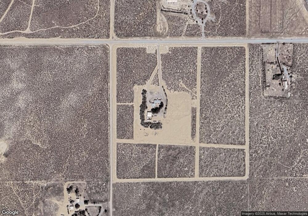
This home is located at 6205 Range Land Rd, Reno, NV 89510 and is currently estimated at $764,858, approximately $494 per square foot. 6205 Range Land Rd is a home located in Washoe County with nearby schools including Alyce Savage Taylor Elementary School, Yvonne Shaw Middle School, and Spanish Springs High School.
Ownership History
Date
Name
Owned For
Owner Type
Purchase Details
Closed on
Mar 26, 2025
Sold by
Williams Family Living Trust and Williams Gerald Lee
Bought by
Williams Living Trust and Williams
Current Estimated Value
Purchase Details
Closed on
Jan 4, 2018
Sold by
Williams Gerald L and Davis Williams Karen S
Bought by
Williams Gerald Lee and Williams Karen Sue
Create a Home Valuation Report for This Property
The Home Valuation Report is an in-depth analysis detailing your home's value as well as a comparison with similar homes in the area
Purchase History
| Date | Buyer | Sale Price | Title Company |
|---|---|---|---|
| Williams Living Trust | -- | None Listed On Document | |
| Williams Gerald Lee | -- | None Available |
Source: Public Records
Tax History
| Year | Tax Paid | Tax Assessment Tax Assessment Total Assessment is a certain percentage of the fair market value that is determined by local assessors to be the total taxable value of land and additions on the property. | Land | Improvement |
|---|---|---|---|---|
| 2026 | -- | $119,471 | $59,500 | $59,971 |
| 2025 | $2,473 | $113,868 | $52,500 | $61,368 |
| 2024 | $2,473 | $106,170 | $43,750 | $62,420 |
| 2023 | $2,401 | $97,969 | $38,745 | $59,224 |
| 2022 | $2,331 | $80,219 | $31,500 | $48,719 |
| 2021 | $2,263 | $79,175 | $29,750 | $49,425 |
| 2020 | $2,198 | $74,236 | $24,500 | $49,736 |
| 2019 | $2,134 | $69,728 | $21,000 | $48,728 |
| 2018 | $2,071 | $68,728 | $21,000 | $47,728 |
| 2017 | $2,011 | $64,456 | $16,450 | $48,006 |
| 2016 | $2,045 | $65,560 | $16,450 | $49,110 |
| 2015 | $512 | $65,625 | $16,450 | $49,175 |
| 2014 | $1,998 | $64,048 | $16,450 | $47,598 |
| 2013 | -- | $63,806 | $16,450 | $47,356 |
Source: Public Records
Map
Nearby Homes
- 0 Rebel Cause Rd Unit 250057501
- 0 Rebel Cause Rd Unit 250057497
- 5500 Peak Rd
- 5555 Aerie Way
- 5550 Flying Eagle Dr
- 5300 Flying Eagle Dr
- 6155 Sage Flat Rd
- 6000 Winnemucca Ranch Rd
- 6100 Grass Valley Rd
- 5025 Jackrabbit Rd
- 5555 Sage Flat Rd
- 0 Pah Rah Springs Rd Unit 240007324
- 0 Right Hand Canyon Rd
- 0 Wrangler Rd Unit 9
- 0 N Unspecified Unit 250057668
- 0 N Unspecified Unit 250057246
- 0 Youngs Rd
- 0 Pyramid (076-261-04) Way Unit 250053900
- 0 Quaking Aspen Unit 250054370
- 0 Quaking Aspen Unit 250054374
- 000 Peak Rd
- 6080 Range Land Rd
- 6105 Range Land Rd
- 0 Peak Rd Unit 210010638
- 6055 Peak Rd
- 6000 Peak Rd
- 6255 Rebel Cause Rd
- 6255 Rebel Cause Rd Unit 25-3-0-7
- 0 Rebel Cause Rd Unit 240011465
- 0 Rebel Cause Rd Unit 210013777
- 0 Rebel Cause Rd
- 5900 Range Land Rd
- 00 Range Land Rd
- 6055 Rebel Cause Rd
- 6000 Range Land Rd
- 6000 Rebel Cause Rd
- 5600 Rebel Cause Rd
- 5200 Rebel Cause Rd
- 00 Rebel Cause Rd
- 600 Two Forty Rd
Your Personal Tour Guide
Ask me questions while you tour the home.