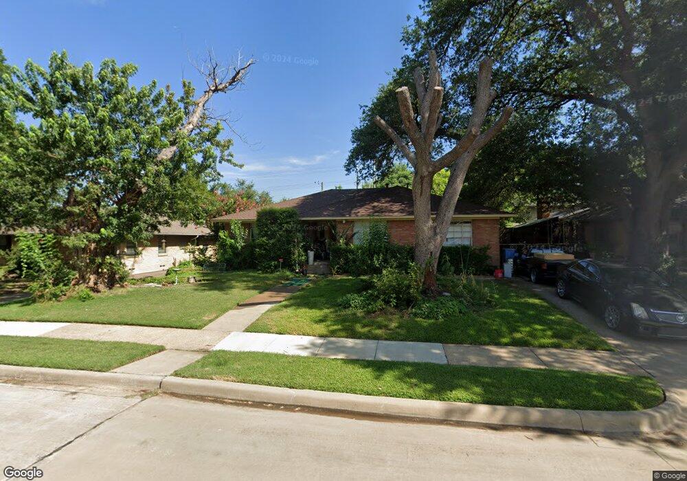
6205 Saratoga Cir Dallas, TX 75214
Northeast Dallas NeighborhoodEstimated Value: $710,719 - $772,000
3
Beds
2
Baths
1,847
Sq Ft
$396/Sq Ft
Est. Value
About This Home
This home is located at 6205 Saratoga Cir, Dallas, TX 75214 and is currently estimated at $731,680, approximately $396 per square foot. 6205 Saratoga Cir is a home located in Dallas County with nearby schools including Mockingbird Elementary School, J L Long Middle School, and Woodrow Wilson High School.
Ownership History
Date
Name
Owned For
Owner Type
Purchase Details
Closed on
Oct 18, 1999
Sold by
Brooks Morris H and Brooks Frances E
Bought by
Matus David R
Current Estimated Value
Home Financials for this Owner
Home Financials are based on the most recent Mortgage that was taken out on this home.
Original Mortgage
$148,773
Outstanding Balance
$45,161
Interest Rate
7.9%
Mortgage Type
FHA
Estimated Equity
$686,519
Create a Home Valuation Report for This Property
The Home Valuation Report is an in-depth analysis detailing your home's value as well as a comparison with similar homes in the area
Home Values in the Area
Average Home Value in this Area
Purchase History
| Date | Buyer | Sale Price | Title Company |
|---|---|---|---|
| Matus David R | -- | -- |
Source: Public Records
Mortgage History
| Date | Status | Borrower | Loan Amount |
|---|---|---|---|
| Open | Matus David R | $148,773 |
Source: Public Records
Tax History Compared to Growth
Tax History
| Year | Tax Paid | Tax Assessment Tax Assessment Total Assessment is a certain percentage of the fair market value that is determined by local assessors to be the total taxable value of land and additions on the property. | Land | Improvement |
|---|---|---|---|---|
| 2025 | $10,266 | $676,970 | $390,580 | $286,390 |
| 2024 | $10,266 | $596,670 | $240,000 | $356,670 |
| 2023 | $10,266 | $596,670 | $240,000 | $356,670 |
| 2022 | $12,821 | $512,750 | $195,000 | $317,750 |
| 2021 | $11,957 | $453,260 | $165,000 | $288,260 |
| 2020 | $11,280 | $415,780 | $165,000 | $250,780 |
| 2019 | $11,830 | $415,780 | $165,000 | $250,780 |
| 2018 | $11,306 | $415,780 | $165,000 | $250,780 |
| 2017 | $10,056 | $369,820 | $146,250 | $223,570 |
| 2016 | $9,681 | $356,000 | $131,250 | $224,750 |
| 2015 | $7,672 | $338,610 | $93,750 | $244,860 |
| 2014 | $7,672 | $338,610 | $93,750 | $244,860 |
Source: Public Records
Map
Nearby Homes
- 6269 Saratoga Cir
- 6231 Berwyn Ln
- 6171 Ravendale Ln
- 6126 Sudbury Dr
- 6314 Woodcrest Ln
- 4341 Skillman St
- 4427 Somerville Ave
- 6305 Annapolis Ln
- 6023 Sandhurst Ln Unit A
- 4715 Skillman St Unit B
- 6035 Sandhurst Ln Unit B
- 6222 E University Blvd
- 4241 Somerville Ave
- 5934 Sandhurst Ln Unit 109
- 5908 Sandhurst Ln Unit 142
- 5908 Sandhurst Ln Unit 244
- 5934 Sandhurst Ln Unit 207
- 4235 Somerville Ave
- 6004 E University Blvd Unit 131
- 4816 Amesbury Dr Unit 227
- 6185 Saratoga Cir
- 6209 Saratoga Cir
- 6181 Saratoga Cir
- 6215 Saratoga Cir
- 6206 Saratoga Cir
- 6175 Saratoga Cir
- 4441 Norris St
- 6219 Saratoga Cir
- 6210 Saratoga Cir
- 4435 Norris St
- 6216 Saratoga Cir
- 6225 Saratoga Cir
- 6171 Saratoga Cir
- 6207 Saint Albans Dr
- 4431 Norris St
- 6220 Saratoga Cir
- 6211 Saint Albans Dr
- 6229 Saratoga Cir
- 6150 Berwyn Ln
- 6156 Berwyn Ln