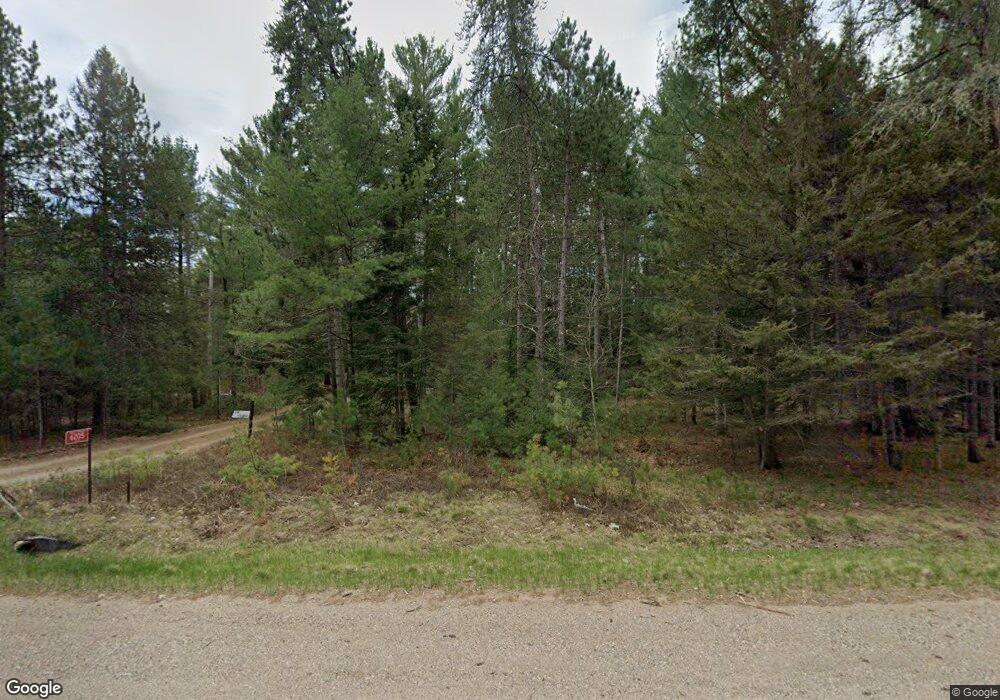
6205 State Highway 70 W Eagle River, WI 54521
Estimated Value: $367,000 - $459,400
Studio
--
Bath
--
Sq Ft
4.2
Acres
About This Home
This home is located at 6205 State Highway 70 W, Eagle River, WI 54521 and is currently estimated at $428,100. 6205 State Highway 70 W is a home with nearby schools including Northland Pines High School.
Ownership History
Date
Name
Owned For
Owner Type
Purchase Details
Closed on
Jul 12, 2014
Sold by
Cole Eugene H and Cole Carol J
Bought by
The Colebin Family Irrevocable Trust
Current Estimated Value
Purchase Details
Closed on
May 16, 2014
Sold by
Gallagher Wendy Cole
Bought by
The Colebin Family Irrevocable Trust
Purchase Details
Closed on
May 28, 2006
Sold by
Cole Eugene H
Bought by
Cole Eh and Cole Carn J
Create a Home Valuation Report for This Property
The Home Valuation Report is an in-depth analysis detailing your home's value as well as a comparison with similar homes in the area
Purchase History
| Date | Buyer | Sale Price | Title Company |
|---|---|---|---|
| The Colebin Family Irrevocable Trust | $50,000 | None Available | |
| The Colebin Family Irrevocable Trust | $50,000 | None Available | |
| Cole Eh | -- | -- |
Source: Public Records
Mortgage History
| Date | Status | Borrower | Loan Amount |
|---|---|---|---|
| Closed | Cole Eh | $0 |
Source: Public Records
Tax History
| Year | Tax Paid | Tax Assessment Tax Assessment Total Assessment is a certain percentage of the fair market value that is determined by local assessors to be the total taxable value of land and additions on the property. | Land | Improvement |
|---|---|---|---|---|
| 2025 | $1,058 | $600,200 | $351,100 | $249,100 |
| 2024 | $1,081 | $502,700 | $253,600 | $249,100 |
| 2023 | $1,129 | $502,700 | $253,600 | $249,100 |
| 2022 | $1,340 | $129,500 | $91,700 | $37,800 |
| 2021 | $1,258 | $129,500 | $91,700 | $37,800 |
| 2020 | $1,296 | $129,500 | $91,700 | $37,800 |
| 2019 | $1,293 | $129,500 | $91,700 | $37,800 |
| 2018 | $1,267 | $129,500 | $91,700 | $37,800 |
| 2017 | $1,264 | $129,500 | $91,700 | $37,800 |
| 2016 | $1,143 | $129,500 | $91,700 | $37,800 |
| 2015 | $901 | $0 | $0 | $0 |
| 2014 | $883 | $103,300 | $64,400 | $38,900 |
| 2013 | $1,037 | $103,300 | $64,400 | $38,900 |
Source: Public Records
Map
Nearby Homes
- ON Chickaree Lake Rd Unit Lot 4
- Lot 15 Butternut Cir
- Lot 16 Butternut Cir
- Lot 2 Butternut Cir
- Lot 7 Butternut Cir
- Lot 14 Butternut Cir
- Lot 17 Butternut Cir
- Lot 12 Butternut Cir
- Lot 11 Butternut Cir
- Lot 13 Butternut Cir
- Lot 18 Butternut Cir
- Lot 22 Butternut Cir
- Lot 21 Butternut Cir
- Lot 19 Butternut Cir
- Lot 20 Butternut Cir
- ON River Rd Unit Lot 5
- ON River Rd Unit Lot 2
- Lot 6 Butternut Cir
- Lot 8 Butternut Cir
- Lot 12 Brook Trail
- 6183 State Highway 70 W Unit STH
- 6215 W State Highway 70 W
- 6175 W State Highway 70 W
- 6171 W State Highway 70 W
- 6169 Wisconsin 70
- 1288 Moonlite Dr
- 6230 State Highway 70 W
- 6165 State Highway 70 W
- 1278 Moonlite Dr
- 6211 River Rd Unit +23.82 acr
- ON Moonlite Dr
- 6232 State Highway 70 W
- 0 Moonlite Dr
- 1296 Moonlite Dr
- 1298 Ponderosa Dr
- 1275 Ponderosa Dr
- 1229 Moonlite Dr
- 1291 Moonlite Dr
- 1245 Moonlite Dr
- 1259 Moonlite Dr
Your Personal Tour Guide
Ask me questions while you tour the home.