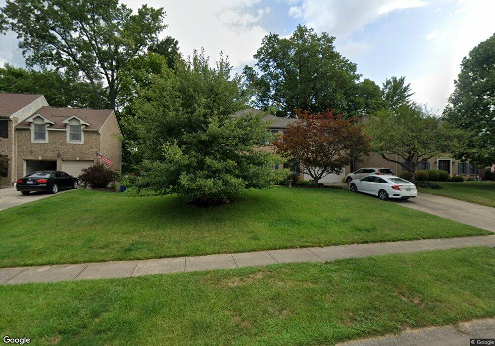
6206 Pintail Ct Loveland, OH 45140
Outer Loveland NeighborhoodEstimated Value: $485,000 - $536,000
4
Beds
3
Baths
3,192
Sq Ft
$163/Sq Ft
Est. Value
About This Home
This home is located at 6206 Pintail Ct, Loveland, OH 45140 and is currently estimated at $520,236, approximately $162 per square foot. 6206 Pintail Ct is a home located in Clermont County with nearby schools including Milford Senior High School, Milford Christian Academy, and St. Andrew - St. Elizabeth Ann Seton School.
Ownership History
Date
Name
Owned For
Owner Type
Purchase Details
Closed on
Sep 24, 2001
Sold by
Bauman David J
Bought by
Hevenor Michael G and Hevenor Kristine B
Current Estimated Value
Home Financials for this Owner
Home Financials are based on the most recent Mortgage that was taken out on this home.
Original Mortgage
$106,000
Interest Rate
6.61%
Mortgage Type
New Conventional
Purchase Details
Closed on
Nov 25, 1997
Sold by
Ormsby Carol R
Bought by
Bauman David J and Bauman Kelly J
Home Financials for this Owner
Home Financials are based on the most recent Mortgage that was taken out on this home.
Original Mortgage
$137,500
Interest Rate
7.38%
Mortgage Type
New Conventional
Purchase Details
Closed on
Sep 9, 1992
Purchase Details
Closed on
Jun 17, 1992
Create a Home Valuation Report for This Property
The Home Valuation Report is an in-depth analysis detailing your home's value as well as a comparison with similar homes in the area
Home Values in the Area
Average Home Value in this Area
Purchase History
| Date | Buyer | Sale Price | Title Company |
|---|---|---|---|
| Hevenor Michael G | $212,000 | -- | |
| Bauman David J | $186,750 | -- | |
| -- | $174,600 | -- | |
| -- | $65,000 | -- |
Source: Public Records
Mortgage History
| Date | Status | Borrower | Loan Amount |
|---|---|---|---|
| Closed | Hevenor Michael G | $106,000 | |
| Previous Owner | Bauman David J | $137,500 |
Source: Public Records
Tax History Compared to Growth
Tax History
| Year | Tax Paid | Tax Assessment Tax Assessment Total Assessment is a certain percentage of the fair market value that is determined by local assessors to be the total taxable value of land and additions on the property. | Land | Improvement |
|---|---|---|---|---|
| 2024 | $6,425 | $141,020 | $25,450 | $115,570 |
| 2023 | $6,492 | $141,020 | $25,450 | $115,570 |
| 2022 | $5,689 | $94,090 | $16,980 | $77,110 |
| 2021 | $5,695 | $94,090 | $16,980 | $77,110 |
| 2020 | $5,458 | $94,090 | $16,980 | $77,110 |
| 2019 | $5,758 | $94,230 | $16,910 | $77,320 |
| 2018 | $5,760 | $94,230 | $16,910 | $77,320 |
| 2017 | $5,507 | $94,230 | $16,910 | $77,320 |
| 2016 | $5,507 | $81,940 | $14,700 | $67,240 |
| 2015 | $5,367 | $81,940 | $14,700 | $67,240 |
| 2014 | $5,137 | $81,940 | $14,700 | $67,240 |
| 2013 | $5,197 | $80,400 | $14,000 | $66,400 |
Source: Public Records
Map
Nearby Homes
- 1113 Clover Field Dr
- 1146 Clover Field Dr
- 6381 Waverly Hill Ln
- 1513 Charleston Ln
- 6149 Century Farm Dr
- 1152 Diekmeyer Ln
- 1706 Cottontail Dr
- 5893 Meadow Lark Ct
- 1331 Harbor Cove
- 6379 Derbyshire Ln
- 5937 Firm Stance Dr
- 1140 Weber Rd
- 2013 Weber Rd
- 709 Middleton Way
- 1809 Wheatfield Way
- 1803 Wheatfield Way
- 6211 Spires Dr
- 955 Woodcreek Dr
- 957 Tarragon Ln
- 5778 Ashby Ct Unit 101
- 6208 Pintail Ct
- 6204 Pintail Ct
- 6202 Pintail Ct
- 6210 Pintail Ct
- 6209 Pintail Ct
- 6207 Pintail Ct
- 6211 Pintail Ct
- 1032 W Bridlepath Ln
- 1091 S Muscovy Dr
- 6200 Pintail Ct
- 6205 Pintail Ct
- 6198 Pintail Ct
- 1034 W Bridlepath Ln
- 1093 S Muscovy Dr
- 1030 W Bridlepath Ln
- 1089 S Muscovy Dr
- 6201 Pintail Ct
- 6203 Pintail Ct
- 1095 S Muscovy Dr
- 1036 W Bridlepath Ln