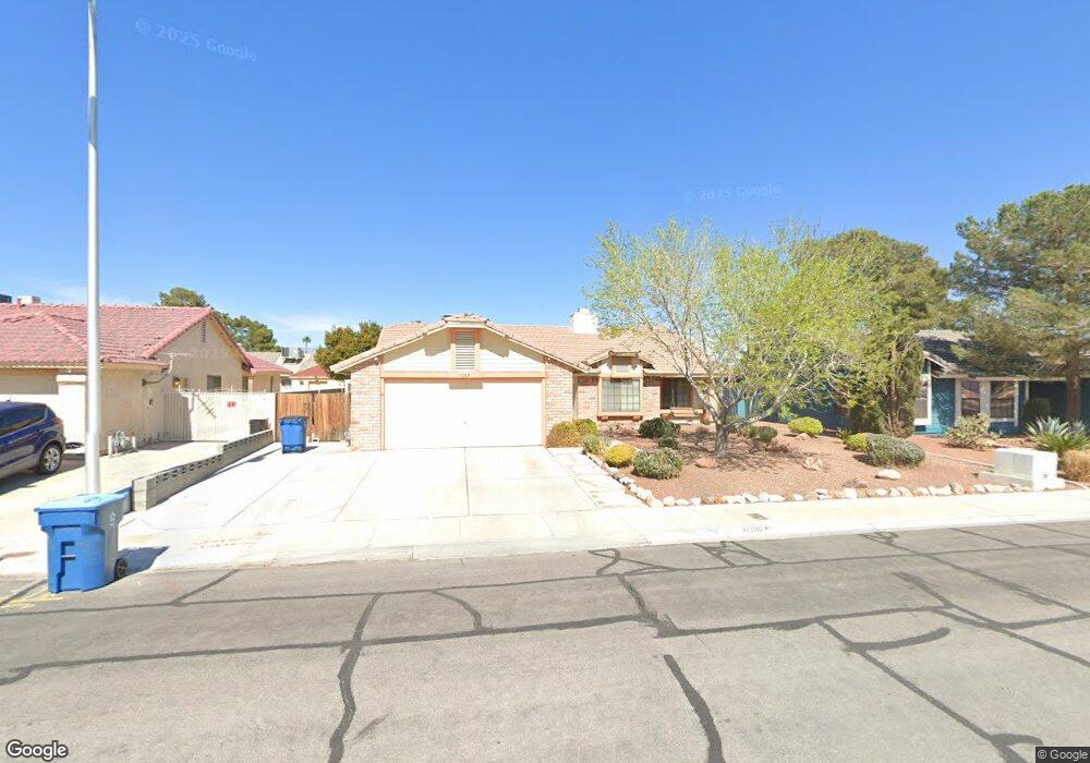
6208 Budnick Cir Las Vegas, NV 89130
North Cheyenne NeighborhoodEstimated Value: $421,514 - $453,000
4
Beds
2
Baths
1,804
Sq Ft
$246/Sq Ft
Est. Value
About This Home
This home is located at 6208 Budnick Cir, Las Vegas, NV 89130 and is currently estimated at $443,379, approximately $245 per square foot. 6208 Budnick Cir is a home located in Clark County with nearby schools including Ernest May Elementary School, Theron L Swainston Middle School, and Cheyenne High School.
Ownership History
Date
Name
Owned For
Owner Type
Purchase Details
Closed on
Aug 2, 1995
Sold by
Argo Glenn Leroy and Argo Peggy J
Bought by
Mazzotti Augustine F and Mazzotti Phyllis G
Current Estimated Value
Home Financials for this Owner
Home Financials are based on the most recent Mortgage that was taken out on this home.
Original Mortgage
$105,800
Interest Rate
7.61%
Create a Home Valuation Report for This Property
The Home Valuation Report is an in-depth analysis detailing your home's value as well as a comparison with similar homes in the area
Home Values in the Area
Average Home Value in this Area
Purchase History
| Date | Buyer | Sale Price | Title Company |
|---|---|---|---|
| Mazzotti Augustine F | $132,500 | Land Title |
Source: Public Records
Mortgage History
| Date | Status | Borrower | Loan Amount |
|---|---|---|---|
| Closed | Mazzotti Augustine F | $105,800 |
Source: Public Records
Tax History Compared to Growth
Tax History
| Year | Tax Paid | Tax Assessment Tax Assessment Total Assessment is a certain percentage of the fair market value that is determined by local assessors to be the total taxable value of land and additions on the property. | Land | Improvement |
|---|---|---|---|---|
| 2025 | $1,471 | $80,485 | $32,200 | $48,285 |
| 2024 | $1,429 | $80,485 | $32,200 | $48,285 |
| 2023 | $1,429 | $78,811 | $32,200 | $46,611 |
| 2022 | $1,393 | $69,596 | $26,600 | $42,996 |
| 2021 | $1,355 | $65,832 | $24,500 | $41,332 |
| 2020 | $1,311 | $63,417 | $22,050 | $41,367 |
| 2019 | $1,272 | $60,364 | $19,250 | $41,114 |
| 2018 | $1,236 | $59,035 | $19,250 | $39,785 |
| 2017 | $1,738 | $55,663 | $15,050 | $40,613 |
| 2016 | $1,170 | $52,754 | $11,550 | $41,204 |
| 2015 | $1,168 | $45,187 | $8,750 | $36,437 |
| 2014 | $1,133 | $35,962 | $8,750 | $27,212 |
Source: Public Records
Map
Nearby Homes
- 6105 Sadler Dr
- 6225 Minerva Dr
- 6256 Hill Haven Ave
- 4517 Carbine Chapel St
- 4521 Night Dance Ct
- 4505 Mollison Mesa Ct
- 4505 Truscott Ct
- 6277 Kraft Ave
- 5812 Ventana Dr
- 5774 Smithsonian Way
- 6300 W La Madre Way
- 6425 Wheelbarrow Peak Dr
- 4302 Eagle Island St
- 6106 Castle Gardens Ave
- 6421 Doby Peak Dr
- 5005 Chambliss Dr
- 6505 Quantum Ln
- 5605 Bay Shore Cir
- 4401 Inez Dr
- 6540 Angel Mountain Ave Unit 2
- 6212 Budnick Cir
- 6204 Budnick Cir
- 6209 Sadler Dr
- 6205 Sadler Dr
- 6213 Sadler Dr
- 6216 Budnick Cir
- 6209 Budnick Cir
- 6213 Budnick Cir
- 6201 Sadler Dr
- 6205 Budnick Cir
- 6217 Budnick Cir
- 6220 Budnick Cir
- 6201 Budnick Cir
- 6221 Sadler Dr
- 6221 Budnick Cir
- 6204 Sadler Dr
- 6208 Sadler Dr
- 6212 Burnt Hills Dr
- 6208 Burnt Hills Dr
- 4620 Bannister Ln