6209 N Hinman Rd Fowler, MI 48835
Estimated Value: $251,000 - $339,000
4
Beds
2
Baths
1,040
Sq Ft
$287/Sq Ft
Est. Value
About This Home
This home is located at 6209 N Hinman Rd, Fowler, MI 48835 and is currently estimated at $298,025, approximately $286 per square foot. 6209 N Hinman Rd is a home located in Clinton County with nearby schools including Waldron Elementary/Middle School and Fowler High School.
Ownership History
Date
Name
Owned For
Owner Type
Purchase Details
Closed on
Sep 8, 2023
Sold by
Revocable Living Trust Of Gary L Miller and Miller Susan I
Bought by
Miller Alexander and Miller Danielle
Current Estimated Value
Home Financials for this Owner
Home Financials are based on the most recent Mortgage that was taken out on this home.
Original Mortgage
$284,075
Outstanding Balance
$277,879
Interest Rate
6.81%
Mortgage Type
VA
Estimated Equity
$20,146
Create a Home Valuation Report for This Property
The Home Valuation Report is an in-depth analysis detailing your home's value as well as a comparison with similar homes in the area
Home Values in the Area
Average Home Value in this Area
Purchase History
| Date | Buyer | Sale Price | Title Company |
|---|---|---|---|
| Miller Alexander | $275,000 | Ata National Title Group |
Source: Public Records
Mortgage History
| Date | Status | Borrower | Loan Amount |
|---|---|---|---|
| Open | Miller Alexander | $284,075 |
Source: Public Records
Tax History Compared to Growth
Tax History
| Year | Tax Paid | Tax Assessment Tax Assessment Total Assessment is a certain percentage of the fair market value that is determined by local assessors to be the total taxable value of land and additions on the property. | Land | Improvement |
|---|---|---|---|---|
| 2025 | $1,982 | $131,000 | $28,000 | $103,000 |
| 2024 | $851 | $116,700 | $22,000 | $94,700 |
| 2023 | $806 | $77,400 | $0 | $0 |
| 2022 | $1,809 | $92,000 | $22,400 | $69,600 |
| 2021 | $1,755 | $74,200 | $16,200 | $58,000 |
| 2020 | $1,703 | $73,200 | $16,200 | $57,000 |
| 2019 | $1,372 | $73,200 | $16,200 | $57,000 |
| 2018 | $1,348 | $65,500 | $16,200 | $49,300 |
| 2017 | $1,318 | $66,800 | $16,200 | $50,600 |
| 2016 | $1,312 | $67,100 | $16,200 | $50,900 |
| 2015 | $1,309 | $66,900 | $0 | $0 |
| 2011 | -- | $69,900 | $0 | $0 |
Source: Public Records
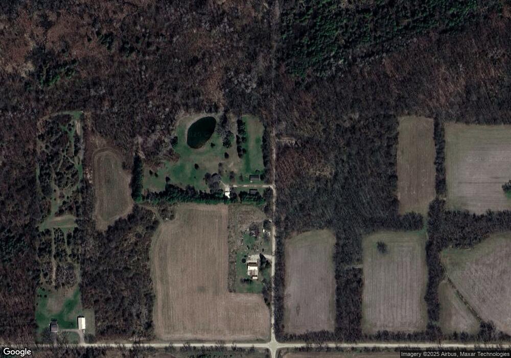
Map
Nearby Homes
- 6928 Hubbardston Rd
- 226 Church St
- 306 Russell St
- 9515 W Moss Rd
- 11670 Jessup Rd
- V/L Stoneybrook Trail
- 982 Norway Dr
- Lot 8 N Wright Rd
- 209 W Adelaide St
- 10911 E Kent St
- 11040 W Ionia St
- 11255 W Wayne St
- 129 E Main St
- 220 N Maple Ave
- 7240 Empire Rd
- 11138 W 2nd St
- 8150 Idared Rd
- V/L W M21
- 8095 Mcintosh Rd
- 7757 N Forest Hill Rd