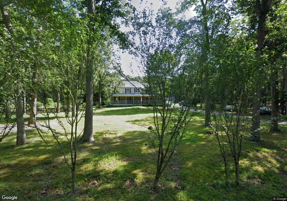
6209 Spruce St Mays Landing, NJ 08330
Estimated Value: $379,000 - $567,000
--
Bed
--
Bath
1,488
Sq Ft
$310/Sq Ft
Est. Value
About This Home
This home is located at 6209 Spruce St, Mays Landing, NJ 08330 and is currently estimated at $461,204, approximately $309 per square foot. 6209 Spruce St is a home located in Atlantic County with nearby schools including Joseph Shaner School, George L. Hess Educational Complex, and William Davies Middle School.
Ownership History
Date
Name
Owned For
Owner Type
Purchase Details
Closed on
Sep 17, 2004
Sold by
Phillips Jeffry S and Matos Phillips Blanca N
Bought by
Vergata Michael J and Vergata Andrea
Current Estimated Value
Home Financials for this Owner
Home Financials are based on the most recent Mortgage that was taken out on this home.
Original Mortgage
$204,000
Outstanding Balance
$102,009
Interest Rate
6.02%
Mortgage Type
Purchase Money Mortgage
Estimated Equity
$359,195
Purchase Details
Closed on
Jul 13, 1990
Sold by
Torromeo Jacqueline
Bought by
Nakos Evangelos and Nakos Alexsandra S
Create a Home Valuation Report for This Property
The Home Valuation Report is an in-depth analysis detailing your home's value as well as a comparison with similar homes in the area
Home Values in the Area
Average Home Value in this Area
Purchase History
| Date | Buyer | Sale Price | Title Company |
|---|---|---|---|
| Vergata Michael J | $225,000 | Liberty Title Agency | |
| Nakos Evangelos | $42,000 | -- |
Source: Public Records
Mortgage History
| Date | Status | Borrower | Loan Amount |
|---|---|---|---|
| Open | Vergata Michael J | $204,000 |
Source: Public Records
Tax History Compared to Growth
Tax History
| Year | Tax Paid | Tax Assessment Tax Assessment Total Assessment is a certain percentage of the fair market value that is determined by local assessors to be the total taxable value of land and additions on the property. | Land | Improvement |
|---|---|---|---|---|
| 2025 | $7,641 | $222,700 | $55,400 | $167,300 |
| 2024 | $7,641 | $222,700 | $55,400 | $167,300 |
| 2023 | $7,184 | $222,700 | $55,400 | $167,300 |
| 2022 | $7,184 | $222,700 | $55,400 | $167,300 |
| 2021 | $7,169 | $222,700 | $55,400 | $167,300 |
| 2020 | $7,169 | $222,700 | $55,400 | $167,300 |
| 2019 | $7,187 | $222,700 | $55,400 | $167,300 |
| 2018 | $6,935 | $222,700 | $55,400 | $167,300 |
| 2017 | $6,826 | $222,700 | $55,400 | $167,300 |
| 2016 | $6,634 | $222,700 | $55,400 | $167,300 |
| 2015 | $6,409 | $222,700 | $55,400 | $167,300 |
| 2014 | $6,363 | $242,200 | $64,300 | $177,900 |
Source: Public Records
Map
Nearby Homes
- 5827 Holly St
- 5777 Holly St
- 00 Holly St
- 0 Dahlia St
- 0 Cleveland Ave
- 617 S County Blvd
- 5751 Laurel St
- 1409 Fairmont St
- 1409 W Fairmont Ave
- 5630 Oslo Ave
- 1412 W Cleveland Ave
- 1525 W Aloe St
- 547 S Cincinnati Ave
- 6286 Pine St
- 1321 W North St
- 5744 Oak St
- 5837 White Horse Pike
- 2323 Columbia Rd
- 31 London Ave
- 29 Liverpool Ave
- 0 Spruce St Unit 404241
- 0 Spruce St Unit 581122
- 0 Spruce St Unit 576498
- 0000 Spruce St
- 6223 Spruce St
- 6197 Spruce St
- 6208 Spruce St
- 6198 Spruce St
- 6189 Spruce St
- 6182 Spruce St
- 6147 Spruce St
- 6200 Walnut St
- 6145 Spruce St
- 6274 Spruce St
- 6154 Spruce St
- 6284 Spruce St
- 6128 Spruce St
- 6313 Spruce St
- 6129 Spruce St
- 6312 Spruce St