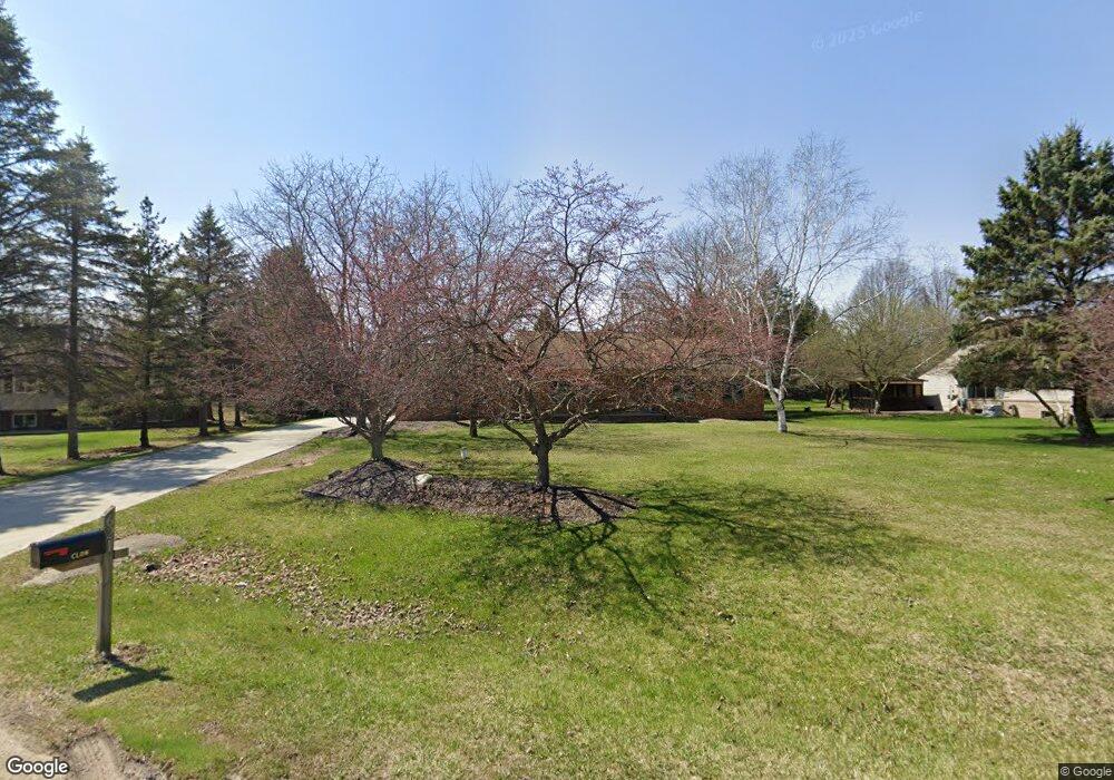
621 Alayne Ct Unit Bldg-Unit Brighton, MI 48114
Estimated Value: $375,000 - $453,000
3
Beds
2
Baths
1,344
Sq Ft
$298/Sq Ft
Est. Value
About This Home
This home is located at 621 Alayne Ct Unit Bldg-Unit, Brighton, MI 48114 and is currently estimated at $401,047, approximately $298 per square foot. 621 Alayne Ct Unit Bldg-Unit is a home located in Livingston County with nearby schools including Hartland High School and Charyl Stockwell Academy.
Ownership History
Date
Name
Owned For
Owner Type
Purchase Details
Closed on
Feb 26, 2018
Sold by
Madden Brian W and Madden William R
Bought by
Clow Michael and Caudill Kristy
Current Estimated Value
Purchase Details
Closed on
Apr 25, 2001
Sold by
Madden Brian W
Bought by
Madden Brian W and Madden William R
Home Financials for this Owner
Home Financials are based on the most recent Mortgage that was taken out on this home.
Original Mortgage
$130,000
Interest Rate
6.95%
Create a Home Valuation Report for This Property
The Home Valuation Report is an in-depth analysis detailing your home's value as well as a comparison with similar homes in the area
Home Values in the Area
Average Home Value in this Area
Purchase History
| Date | Buyer | Sale Price | Title Company |
|---|---|---|---|
| Clow Michael | $216,250 | -- | |
| Madden Brian W | -- | American Title Co | |
| Madden Brian W | $170,000 | American Title Co |
Source: Public Records
Mortgage History
| Date | Status | Borrower | Loan Amount |
|---|---|---|---|
| Previous Owner | Madden Brian W | $130,000 |
Source: Public Records
Tax History Compared to Growth
Tax History
| Year | Tax Paid | Tax Assessment Tax Assessment Total Assessment is a certain percentage of the fair market value that is determined by local assessors to be the total taxable value of land and additions on the property. | Land | Improvement |
|---|---|---|---|---|
| 2025 | $4,790 | $172,900 | $0 | $0 |
| 2024 | $1,609 | $163,500 | $0 | $0 |
| 2023 | $1,538 | $143,400 | $0 | $0 |
| 2022 | $4,555 | $109,500 | $0 | $0 |
| 2021 | $4,375 | $121,400 | $0 | $0 |
| 2020 | $4,364 | $117,600 | $0 | $0 |
| 2019 | $4,146 | $109,500 | $0 | $0 |
| 2018 | $2,938 | $106,900 | $0 | $0 |
| 2017 | $4,198 | $106,900 | $0 | $0 |
| 2016 | $4,172 | $97,400 | $0 | $0 |
| 2014 | $2,673 | $88,900 | $0 | $0 |
| 2012 | $2,673 | $87,300 | $0 | $0 |
Source: Public Records
Map
Nearby Homes
- 227 W Peterson Dr
- 1163 Long Lake Dr
- 1412 North Ct
- 10579 Lee Ann Dr
- 1020 Woods Edge Dr
- 9797 Bitten Dr
- 277 Mystic Meadows Ct Unit 29
- 9997 Applegate Ln
- 1660 Chelsea Cir Unit 162
- V/L Parcel D Old Us-23 Hwy
- V/L Parcels C & D Old Us-23 Hwy
- C-1 Doa
- 1441 Remsing St Unit 4
- V/L Parcel C Old Us-23 Hwy
- 1560 Odette
- 149 W Auburn Trail
- 9760 Dornoch Trail
- V/L Highland Rd
- 1816 Andover Blvd
- 1744 Deanna Dr