Estimated Value: $900,000 - $1,083,885
4
Beds
3
Baths
2,590
Sq Ft
$372/Sq Ft
Est. Value
About This Home
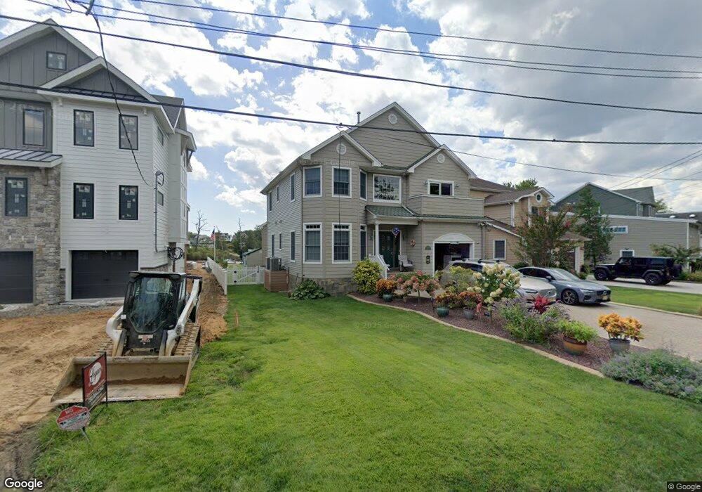
This home is located at 621 Bancroft Rd, Brick, NJ 08724 and is currently estimated at $962,471, approximately $371 per square foot. 621 Bancroft Rd is a home located in Ocean County with nearby schools including Midstreams Elementary School, Veterans Memorial Middle School, and Brick Township Memorial High School.
Ownership History
Date
Name
Owned For
Owner Type
Purchase Details
Closed on
Jun 8, 2018
Sold by
Schechter Martin and Schechter Eve A
Bought by
Bigelsen Eric and Bigelsen Korinne
Current Estimated Value
Home Financials for this Owner
Home Financials are based on the most recent Mortgage that was taken out on this home.
Original Mortgage
$572,000
Outstanding Balance
$495,792
Interest Rate
4.6%
Mortgage Type
Adjustable Rate Mortgage/ARM
Estimated Equity
$466,679
Purchase Details
Closed on
Feb 18, 2004
Purchase Details
Closed on
Dec 19, 2002
Sold by
Ehn Anni
Create a Home Valuation Report for This Property
The Home Valuation Report is an in-depth analysis detailing your home's value as well as a comparison with similar homes in the area
Home Values in the Area
Average Home Value in this Area
Purchase History
| Date | Buyer | Sale Price | Title Company |
|---|---|---|---|
| Bigelsen Eric | $715,000 | Trident Abstract Title Agenc | |
| -- | -- | -- | |
| -- | $470,000 | -- |
Source: Public Records
Mortgage History
| Date | Status | Borrower | Loan Amount |
|---|---|---|---|
| Open | Bigelsen Eric | $572,000 |
Source: Public Records
Tax History
| Year | Tax Paid | Tax Assessment Tax Assessment Total Assessment is a certain percentage of the fair market value that is determined by local assessors to be the total taxable value of land and additions on the property. | Land | Improvement |
|---|---|---|---|---|
| 2025 | $14,068 | $539,000 | $278,400 | $260,600 |
| 2024 | $13,351 | $539,000 | $278,400 | $260,600 |
| 2023 | $13,157 | $539,000 | $278,400 | $260,600 |
| 2022 | $13,157 | $539,000 | $278,400 | $260,600 |
| 2021 | $12,825 | $539,000 | $278,400 | $260,600 |
| 2020 | $12,715 | $539,000 | $278,400 | $260,600 |
| 2019 | $12,489 | $539,000 | $278,400 | $260,600 |
| 2018 | $12,203 | $539,000 | $278,400 | $260,600 |
| 2017 | $11,874 | $539,000 | $278,400 | $260,600 |
| 2016 | $11,809 | $539,000 | $278,400 | $260,600 |
| 2015 | $11,502 | $539,000 | $278,400 | $260,600 |
| 2014 | $11,405 | $539,000 | $278,400 | $260,600 |
Source: Public Records
Map
Nearby Homes
- 556 Parker Ave
- 546 Princeton Ave
- 515 Carroll Fox Rd
- 599 Parker Ave
- 665 Bancroft Rd
- 511 Robinhood Rd
- 470 Princeton Ave
- 603 Point Ave
- 599 Point Ave
- 173 Cliff Rd
- 648 Point Ave
- 660 Point Ave
- 1621 Northstream Pkwy
- 412 Bella Vista Rd
- 49 Stratford Dr
- 500 Princeton Ave
- 1553 Littlehill Rd
- 118 Solar Dr
- 701 Princeton Ave
- 15 Hidden Harbor Dr
- 619 Bancroft Rd
- 623 Bancroft Rd
- 617 Carroll Fox Rd
- 625 Bancroft Rd
- 615 Carroll Fox Rd
- 629 Bancroft Rd
- 618 Carroll Fox Rd
- 609 Carroll Fox Rd
- 624 Carroll Fox Rd
- 614 Carroll Fox Rd
- 631 Bancroft Rd
- 628 Carroll Fox Rd
- 610 Carroll Fox Rd
- 621 Thoroughfare Rd
- 625 Thoroughfare Rd
- 607 Carroll Fox Rd
- 617 Thoroughfare Rd
- 632 Carroll Fox Rd
- 615 Thoroughfare Rd
- 629 Thoroughfare Rd
Your Personal Tour Guide
Ask me questions while you tour the home.