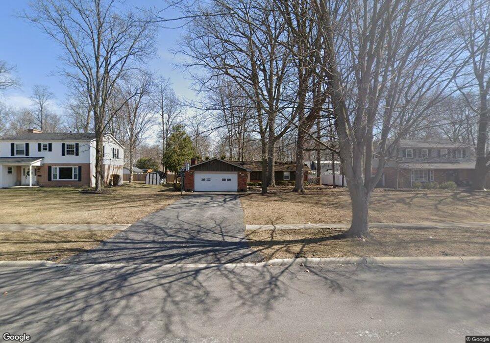
621 Bristol Dr Findlay, OH 45840
Estimated Value: $271,000 - $293,000
About This Home
This home is located at 621 Bristol Dr, Findlay, OH 45840 and is currently estimated at $278,413, approximately $146 per square foot. 621 Bristol Dr is a home located in Hancock County with nearby schools including Wilson Vance Elementary School, Whittier Elementary School, and Donnell Middle School.
Ownership History
We collect this data history from publicly available records. To have your information removed, we recommend requesting removal directly through your county’s website.
Purchase Details
Purchase Details
Purchase Details
Purchase Details
Home Values in the Area
Average Home Value in this Area
Purchase History
We collect this data history from publicly available records. To have your information removed, we recommend requesting removal directly through your county’s website.
| Date | Buyer | Sale Price | Title Company |
|---|---|---|---|
| $139,000 | Mid Am Title Agency | ||
| $110,000 | -- | ||
| $106,000 | -- | ||
| $95,000 | -- |
Tax History
We collect this data history from publicly available records. To have your information removed, we recommend requesting removal directly through your county’s website.
| Year | Tax Paid | Tax Assessment Tax Assessment Total Assessment is a certain percentage of the fair market value that is determined by local assessors to be the total taxable value of land and additions on the property. | Land | Improvement |
|---|---|---|---|---|
| 2025 | $2,376 | $77,490 | $11,770 | $65,720 |
| 2024 | $2,414 | $67,970 | $10,320 | $57,650 |
| 2023 | $2,418 | $67,970 | $10,320 | $57,650 |
| 2022 | $2,410 | $67,970 | $10,320 | $57,650 |
| 2021 | $2,083 | $51,170 | $10,320 | $40,850 |
| 2020 | $2,082 | $51,170 | $10,320 | $40,850 |
| 2019 | $2,040 | $51,170 | $10,320 | $40,850 |
| 2018 | $2,062 | $47,450 | $10,320 | $37,130 |
| 2017 | $1,032 | $47,450 | $10,320 | $37,130 |
| 2016 | $2,035 | $47,450 | $10,320 | $37,130 |
| 2015 | $2,381 | $54,460 | $10,960 | $43,500 |
| 2014 | $2,382 | $54,460 | $10,960 | $43,500 |
| 2012 | $2,398 | $54,460 | $10,960 | $43,500 |
Map
- 609 Sutton Place
- 1908 Windsor Place
- 1932 Queenswood Dr
- 1724 Queenswood Dr Unit 9
- 601 Winterberry Dr
- 1626 Imperial Ln
- 326 Pheasant Run Ln
- 1636 Queenswood Dr
- 700 Lincolnshire Ln
- 1203 Chateau Ct
- 2257 Fox Run Cir
- 2216 Quail Lake Rd Unit 42
- 1223 Chateau Ct
- 1106 Cherry Ln
- 1040 Woodside Dr
- 600 Woodworth Dr
- 700 Woodworth Dr
- 0 Bright Rd Unit Lot 2
- 0 Bright Rd Unit Lot 1
- 0 Bright Rd Unit Lot 3
- 609 Bristol Dr
- 615 Bristol Dr
- 605 Bristol Dr
- 606 Sutton Place
- 601 Bristol Dr
- 612 Sutton Place
- 600 Sutton Place
- 627 Bristol Dr
- 536 Sutton Place
- 533 Bristol Dr
- 532 Sutton Place
- 633 Bristol Dr
- 1905 Greendale Ave
- 1909 Greendale Ave
- 1913 Greendale Ave
- 605 Sutton Place
- 615 Sutton Place
- 1917 Greendale Ave
- 601 Sutton Place
- 529 Bristol Dr
Ask me questions while you tour the home.