Estimated Value: $180,000 - $196,000
Studio
1
Bath
--
Sq Ft
1.01
Acres Lot
About This Home
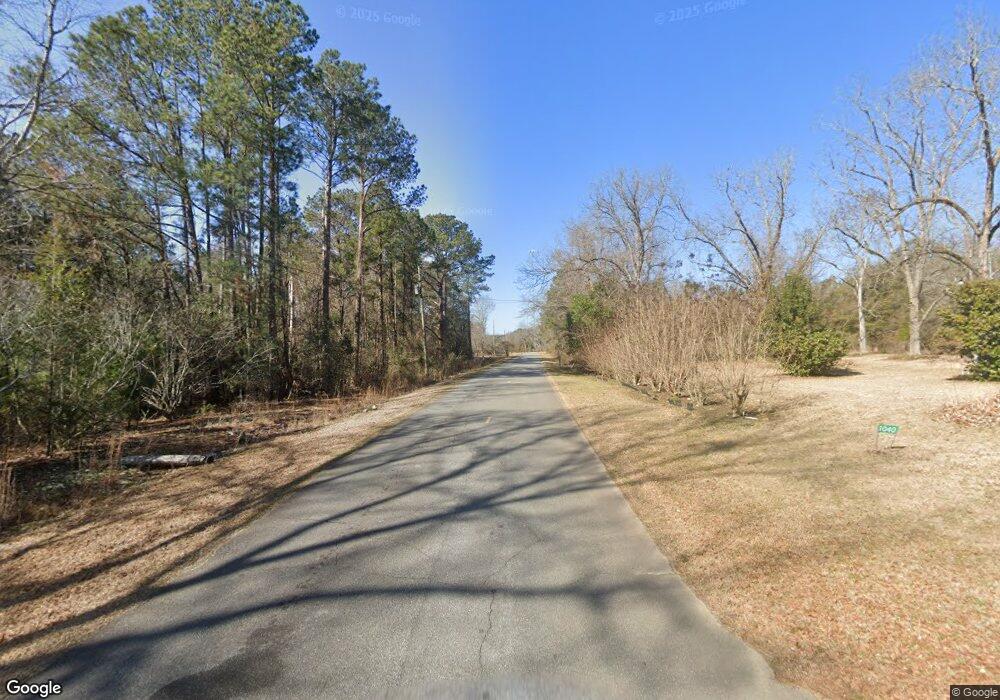
This home is located at 621 Brooks Rd, Ideal, GA 31041 and is currently estimated at $188,000. 621 Brooks Rd is a home located in Macon County with nearby schools including Macon County Elementary School, Macon County Middle School, and Macon County High School.
Ownership History
Date
Name
Owned For
Owner Type
Purchase Details
Closed on
Feb 6, 2018
Sold by
City Of Ideal
Bought by
Taylor Minor L
Current Estimated Value
Purchase Details
Closed on
Oct 4, 2001
Sold by
Ellis Phyllis A
Bought by
Ellis Walter E
Purchase Details
Closed on
Jan 23, 2001
Sold by
Ellis Walter F
Bought by
Ellis Phyllis A
Purchase Details
Closed on
Dec 14, 2000
Sold by
Jinks Clarice F
Bought by
Ellis Walter F
Purchase Details
Closed on
Jul 28, 1999
Sold by
Folwer A L
Bought by
Jinks Clarice F
Purchase Details
Closed on
Feb 22, 1977
Sold by
Jinks Clarice F
Bought by
Folwer A L
Create a Home Valuation Report for This Property
The Home Valuation Report is an in-depth analysis detailing your home's value as well as a comparison with similar homes in the area
Purchase History
We collect this data history from publicly available records. To have your information removed, we recommend requesting removal directly through your county’s website.
| Date | Buyer | Sale Price | Title Company |
|---|---|---|---|
| Taylor Minor L | $3,000 | -- | |
| Ellis Walter E | -- | -- | |
| Ellis Phyllis A | $25,000 | -- | |
| Ellis Walter F | $11,000 | -- | |
| Jinks Clarice F | -- | -- | |
| Folwer A L | -- | -- |
Source: Public Records
Tax History
| Year | Tax Paid | Tax Assessment Tax Assessment Total Assessment is a certain percentage of the fair market value that is determined by local assessors to be the total taxable value of land and additions on the property. | Land | Improvement |
|---|---|---|---|---|
| 2025 | $62 | $1,676 | $956 | $720 |
| 2024 | $64 | $1,676 | $956 | $720 |
| 2023 | $64 | $1,676 | $956 | $720 |
| 2022 | $49 | $1,676 | $956 | $720 |
| 2021 | $67 | $1,676 | $956 | $720 |
| 2020 | $51 | $1,676 | $956 | $720 |
| 2019 | $67 | $1,676 | $956 | $720 |
| 2018 | $51 | $1,676 | $956 | $720 |
| 2017 | $51 | $1,676 | $956 | $720 |
| 2016 | $51 | $1,676 | $956 | $720 |
| 2015 | -- | $1,744 | $956 | $788 |
| 2014 | -- | $1,744 | $956 | $788 |
| 2013 | -- | $1,744 | $956 | $788 |
Source: Public Records
Map
Nearby Homes
- 1163 Old Ideal Rd
- 0 Marvis Chapman Rd Unit 10319071
- 0 Marvis Chapman Rd Unit 25510380
- Brooks Mill Rd
- 904 Travelers Home Church Rd
- Parcel 6A Carl Rodgers Rd
- Robinson Rd
- 0 Les Smith Rd
- 208 Southland Rd
- Les Smith Rd
- 298 E Highway 127
- 0 Pine Creek Rd
- Pine Creek Rd
- Parcel 5 Carl Rogers Rd
- Parcel 12 Carl Rogers Rd
- Parcel 8B Carl Rogers Rd
- Parcel 8 Carl Rogers Rd
- Parcel 6 Carl Rogers Rd
- Parcel 13 Carl Rogers Rd
- Parcel 7 Carl Rogers Rd
- 5085 Brooks Rd
- 0 Brooks Rd Unit 8975709
- 101 Carson
- 101 Tom Watson Ave
- 0 Georgia 90
- 102 Tom Watson St
- O Georgia 90
- 103 Carson
- 809 Brooks Rd
- 105 Gene Wilburn Rd
- 810 Brooks Rd
- 302 Anderson Ave
- 103 Tom Watson Ave
- 302 Brooks Rd
- 105 Tom Watson St
- 58 Poplar St
- 104 Poplar St
- 103 Poplar St
- 104 Tom Watson Ave
- 103 Gene Wilburn Rd
Your Personal Tour Guide
Ask me questions while you tour the home.