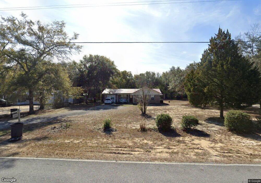
621 Cat Island Rd Defuniak Springs, FL 32433
Estimated Value: $195,000 - $257,000
3
Beds
2
Baths
1,425
Sq Ft
$161/Sq Ft
Est. Value
About This Home
This home is located at 621 Cat Island Rd, Defuniak Springs, FL 32433 and is currently estimated at $229,822, approximately $161 per square foot. 621 Cat Island Rd is a home located in Walton County with nearby schools including Maude Saunders Elementary School, West Defuniak Elementary School, and Walton Middle School.
Ownership History
Date
Name
Owned For
Owner Type
Purchase Details
Closed on
Jul 22, 2015
Sold by
Whigham Marcia L
Bought by
Summerfield Aaron and Summerfield Annie Jean
Current Estimated Value
Home Financials for this Owner
Home Financials are based on the most recent Mortgage that was taken out on this home.
Original Mortgage
$93,487
Outstanding Balance
$73,452
Interest Rate
4.08%
Mortgage Type
VA
Estimated Equity
$156,370
Purchase Details
Closed on
Feb 22, 2006
Sold by
10 Corp Of Pensacola
Bought by
Whigham Marcia L
Create a Home Valuation Report for This Property
The Home Valuation Report is an in-depth analysis detailing your home's value as well as a comparison with similar homes in the area
Home Values in the Area
Average Home Value in this Area
Purchase History
| Date | Buyer | Sale Price | Title Company |
|---|---|---|---|
| Summerfield Aaron | $91,500 | Attorney | |
| Whigham Marcia L | $52,000 | None Available |
Source: Public Records
Mortgage History
| Date | Status | Borrower | Loan Amount |
|---|---|---|---|
| Open | Summerfield Aaron | $93,487 |
Source: Public Records
Tax History Compared to Growth
Tax History
| Year | Tax Paid | Tax Assessment Tax Assessment Total Assessment is a certain percentage of the fair market value that is determined by local assessors to be the total taxable value of land and additions on the property. | Land | Improvement |
|---|---|---|---|---|
| 2024 | $364 | $75,063 | -- | -- |
| 2023 | $364 | $72,877 | $0 | $0 |
| 2022 | $400 | $70,754 | $0 | $0 |
| 2021 | $408 | $68,693 | $0 | $0 |
| 2020 | $416 | $67,745 | $6,548 | $61,197 |
| 2019 | $408 | $66,463 | $0 | $0 |
| 2018 | $403 | $65,224 | $0 | $0 |
| 2017 | $404 | $65,038 | $6,420 | $58,618 |
| 2016 | $409 | $64,513 | $0 | $0 |
| 2015 | $702 | $63,318 | $0 | $0 |
| 2014 | $718 | $64,013 | $0 | $0 |
Source: Public Records
Map
Nearby Homes
- 337 Cat Island Rd
- 321 Cat Island Rd
- 303 Cat Island Rd
- 275 Cat Island Rd
- 257 Cat Island Rd
- 241 Cat Island Rd
- 98 Wesley Rd
- 700 Squirrel Rd
- 4099 Florida 83
- .69AC Kirby Ln
- 289 Hurley Dr
- XXX Triple G Rd
- 915 Oakridge Rd
- 106 Red Eye Rd
- 56 Jim Lee Rd
- Lot 9 Franck Dr
- Lot 98 S Verdi Ln
- 5213 Florida 83
- 1174 Juniper Lake Dr
- 325 Bass Haven Dr
- 651 Cat Island Rd
- 601 Cat Island Rd
- 573 Cat Island Rd
- LOT 3 Cat Island Rd
- TBD/Lot Cat Island Rd
- 000 Cat Island Rd
- 000 Squirrel Rd
- LOT 4 Cat Island Rd
- xx Cat Island and Squirrel Rds Rd
- 482 Cat Island Rd
- 148 Squirrel Rd
- 198 Squirrel Rd
- 106 Wesley Rd
- 92 Squirrel Rd
- 218 Squirrel Rd
- 70 Squirrel Rd
- 228 Squirrel Rd
- 238 Squirrel Rd
- 30 Squirrel Rd
- 129 Squirrel Rd