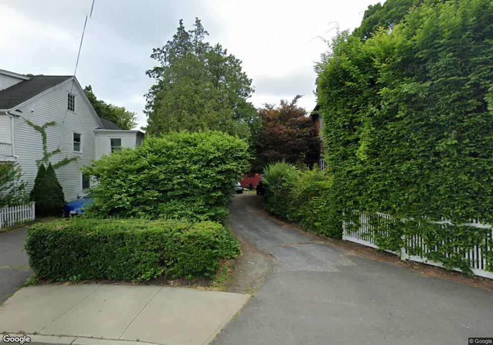
621 Center St Southport, CT 06890
Southport NeighborhoodEstimated Value: $742,000 - $1,183,000
3
Beds
2
Baths
1,302
Sq Ft
$712/Sq Ft
Est. Value
About This Home
This home is located at 621 Center St, Southport, CT 06890 and is currently estimated at $927,342, approximately $712 per square foot. 621 Center St is a home located in Fairfield County with nearby schools including Mill Hill School, Roger Ludlowe Middle School, and Fairfield Ludlowe High School.
Ownership History
Date
Name
Owned For
Owner Type
Purchase Details
Closed on
Aug 31, 2007
Sold by
Garabedian Jane F and Mcclwain Glenn J
Bought by
Reed Michael W and Logan Tisola P
Current Estimated Value
Home Financials for this Owner
Home Financials are based on the most recent Mortgage that was taken out on this home.
Original Mortgage
$447,300
Outstanding Balance
$285,225
Interest Rate
6.71%
Estimated Equity
$642,117
Purchase Details
Closed on
Nov 30, 2000
Sold by
Est Garafalo Albert A and Patten Anne
Bought by
Mcelwain Glenn T and Garabedian Jane F
Purchase Details
Closed on
Apr 28, 1992
Sold by
Jennings Helen A Est
Bought by
Garofalo Albert A
Create a Home Valuation Report for This Property
The Home Valuation Report is an in-depth analysis detailing your home's value as well as a comparison with similar homes in the area
Home Values in the Area
Average Home Value in this Area
Purchase History
| Date | Buyer | Sale Price | Title Company |
|---|---|---|---|
| Reed Michael W | $497,000 | -- | |
| Reed Michael W | $497,000 | -- | |
| Mcelwain Glenn T | $215,000 | -- | |
| Mcelwain Glenn T | $215,000 | -- | |
| Garofalo Albert A | $190,000 | -- |
Source: Public Records
Mortgage History
| Date | Status | Borrower | Loan Amount |
|---|---|---|---|
| Open | Garofalo Albert A | $447,300 | |
| Closed | Garofalo Albert A | $447,300 | |
| Previous Owner | Garofalo Albert A | $253,000 |
Source: Public Records
Tax History Compared to Growth
Tax History
| Year | Tax Paid | Tax Assessment Tax Assessment Total Assessment is a certain percentage of the fair market value that is determined by local assessors to be the total taxable value of land and additions on the property. | Land | Improvement |
|---|---|---|---|---|
| 2025 | $12,663 | $446,040 | $290,640 | $155,400 |
| 2024 | $12,445 | $446,040 | $290,640 | $155,400 |
| 2023 | $12,271 | $446,040 | $290,640 | $155,400 |
| 2022 | $12,150 | $446,040 | $290,640 | $155,400 |
| 2021 | $12,034 | $446,040 | $290,640 | $155,400 |
| 2020 | $10,837 | $404,530 | $287,560 | $116,970 |
| 2019 | $10,837 | $404,530 | $287,560 | $116,970 |
| 2018 | $10,663 | $404,530 | $287,560 | $116,970 |
| 2017 | $10,445 | $404,530 | $287,560 | $116,970 |
| 2016 | $10,295 | $404,530 | $287,560 | $116,970 |
| 2015 | $8,524 | $343,840 | $286,790 | $57,050 |
| 2014 | $8,390 | $343,840 | $286,790 | $57,050 |
Source: Public Records
Map
Nearby Homes
- 2 Elmwood Dr Unit 2
- 153 Pease Ave
- 305 S Gate Ln
- 944 Pequot Ave
- 260 Willow St
- 220 Lansdowne
- 844 Mill Hill Terrace
- 28 Mill Hill Rd Unit 28
- 342 Greens Farms Rd
- 125 Old Rd
- 7 High Gate Rd
- 53 Hilltop Dr
- 36 Maple Ave S
- 1 Coastal Ct
- 476 Mill Hill Terrace
- 107 Old Rd
- 100 Overhill Rd
- 88 Overhill Rd
- 86 Maple Ave S
- 1135 Mill Hill Rd
- 631 Center St
- 624 Center St
- 612 Center St
- 605 Center St
- 656 Center St
- 656 Center St Unit 656
- 616 Center St
- 608 Center St
- 639 Center St
- 654 Center St
- 592 Center St
- 591 Center St
- 299 Spruce St
- 74 Southport Place
- 289 Spruce St
- 301 Spruce St
- 279 Spruce St
- 579 Center St
- 70 Southport Place
- 40 Aberdeen Way