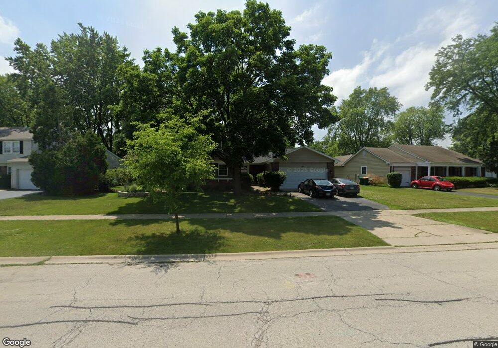
621 Checker Dr Buffalo Grove, IL 60089
Estimated Value: $564,630 - $653,000
--
Bed
3
Baths
2,818
Sq Ft
$216/Sq Ft
Est. Value
About This Home
This home is located at 621 Checker Dr, Buffalo Grove, IL 60089 and is currently estimated at $608,908, approximately $216 per square foot. 621 Checker Dr is a home located in Lake County with nearby schools including Ivy Hall Elementary School, Twin Groves Middle School, and Adlai E Stevenson High School.
Ownership History
Date
Name
Owned For
Owner Type
Purchase Details
Closed on
Jun 20, 2003
Sold by
Orlowsky Joel and Orlowsky Julie A
Bought by
Degelmann Dennis M and Degelmann Margaret A
Current Estimated Value
Home Financials for this Owner
Home Financials are based on the most recent Mortgage that was taken out on this home.
Original Mortgage
$291,900
Interest Rate
4.25%
Mortgage Type
Purchase Money Mortgage
Purchase Details
Closed on
Nov 26, 1996
Sold by
Wolf Daniel A and Wolf Lisa L
Bought by
Orlowsky Joel and Orlowsky Julie A
Home Financials for this Owner
Home Financials are based on the most recent Mortgage that was taken out on this home.
Original Mortgage
$204,250
Interest Rate
7.94%
Create a Home Valuation Report for This Property
The Home Valuation Report is an in-depth analysis detailing your home's value as well as a comparison with similar homes in the area
Home Values in the Area
Average Home Value in this Area
Purchase History
| Date | Buyer | Sale Price | Title Company |
|---|---|---|---|
| Degelmann Dennis M | $365,000 | Multiple | |
| Orlowsky Joel | $215,000 | Attorneys Title Guaranty Fun |
Source: Public Records
Mortgage History
| Date | Status | Borrower | Loan Amount |
|---|---|---|---|
| Previous Owner | Degelmann Dennis M | $291,900 | |
| Previous Owner | Orlowsky Joel | $204,250 | |
| Closed | Degelmann Dennis M | $15,950 |
Source: Public Records
Tax History Compared to Growth
Tax History
| Year | Tax Paid | Tax Assessment Tax Assessment Total Assessment is a certain percentage of the fair market value that is determined by local assessors to be the total taxable value of land and additions on the property. | Land | Improvement |
|---|---|---|---|---|
| 2024 | $15,812 | $171,845 | $36,695 | $135,150 |
| 2023 | $14,826 | $162,148 | $34,624 | $127,524 |
| 2022 | $14,826 | $148,181 | $31,641 | $116,540 |
| 2021 | $14,264 | $146,583 | $31,300 | $115,283 |
| 2020 | $13,928 | $147,083 | $31,407 | $115,676 |
| 2019 | $13,736 | $146,541 | $31,291 | $115,250 |
| 2018 | $12,365 | $136,534 | $30,925 | $105,609 |
| 2017 | $12,131 | $133,347 | $30,203 | $103,144 |
| 2016 | $11,816 | $127,691 | $28,922 | $98,769 |
| 2015 | $11,504 | $119,416 | $27,048 | $92,368 |
| 2014 | $11,619 | $118,893 | $29,050 | $89,843 |
| 2012 | $11,531 | $119,131 | $29,108 | $90,023 |
Source: Public Records
Map
Nearby Homes
- 610 Checker Dr
- 711 Woodhollow Ln
- 800 Clohesey Dr
- 390 Springside Ln
- 931 Shady Grove Ln
- 412 Chateau Dr
- 950 Belmar Ln
- 1141 Devonshire Rd
- 746 Old Checker Rd Unit E5
- 12 Cloverdale Ct
- 1113 Lockwood Dr
- 938 Hidden Lake Dr
- 603 Cherbourg Ct N
- 1112 Auburn Ln
- 1118 Larraway Dr
- 1265 Devonshire Rd
- 887 Saybrook Ln Unit 2
- 1032 Courtland Dr Unit 9
- 625 Marseilles Cir
- 670 Dunhill Dr
- 631 Checker Dr
- 611 Checker Dr
- 720 Twisted Oak Ln
- 730 Twisted Oak Ln Unit 9
- 641 Checker Dr
- 601 Checker Dr
- 710 Twisted Oak Ln
- 630 Checker Dr
- 740 Twisted Oak Ln
- 620 Checker Dr
- 640 Checker Dr
- 700 Twisted Oak Ln
- 651 Checker Dr
- 591 Checker Dr
- 650 Checker Dr
- 600 Checker Dr
- 750 Twisted Oak Ln
- 660 Checker Dr
- 820 Westbourne Ln
- 690 Twisted Oak Ln