621 Currahee Point Toccoa, GA 30577
Estimated Value: $707,386 - $917,000
4
Beds
3
Baths
2,890
Sq Ft
$286/Sq Ft
Est. Value
About This Home
This home is located at 621 Currahee Point, Toccoa, GA 30577 and is currently estimated at $825,847, approximately $285 per square foot. 621 Currahee Point is a home located in Stephens County with nearby schools including Stephens County High School.
Ownership History
Date
Name
Owned For
Owner Type
Purchase Details
Closed on
Aug 30, 2001
Bought by
<Buyer Info Not Present>
Current Estimated Value
Purchase Details
Closed on
Feb 1, 1993
Bought by
Richardson India A
Create a Home Valuation Report for This Property
The Home Valuation Report is an in-depth analysis detailing your home's value as well as a comparison with similar homes in the area
Home Values in the Area
Average Home Value in this Area
Purchase History
| Date | Buyer | Sale Price | Title Company |
|---|---|---|---|
| <Buyer Info Not Present> | -- | -- | |
| Richardson India A | $37,500 | -- |
Source: Public Records
Tax History Compared to Growth
Tax History
| Year | Tax Paid | Tax Assessment Tax Assessment Total Assessment is a certain percentage of the fair market value that is determined by local assessors to be the total taxable value of land and additions on the property. | Land | Improvement |
|---|---|---|---|---|
| 2025 | $4,063 | $207,895 | $47,453 | $160,442 |
| 2024 | $3,773 | $158,980 | $47,453 | $111,527 |
| 2023 | $3,487 | $152,012 | $47,453 | $104,559 |
| 2022 | $3,337 | $146,993 | $47,453 | $99,540 |
| 2021 | $3,299 | $140,400 | $47,358 | $93,042 |
| 2020 | $3,315 | $139,851 | $47,358 | $92,493 |
| 2019 | $3,056 | $131,240 | $47,358 | $83,882 |
| 2018 | $3,056 | $131,240 | $47,358 | $83,882 |
| 2017 | $3,105 | $131,240 | $47,358 | $83,882 |
| 2016 | $3,062 | $131,239 | $47,357 | $83,882 |
| 2015 | $3,205 | $131,282 | $47,357 | $83,924 |
| 2014 | $3,254 | $131,282 | $47,357 | $83,925 |
| 2013 | -- | $133,397 | $47,357 | $86,040 |
Source: Public Records
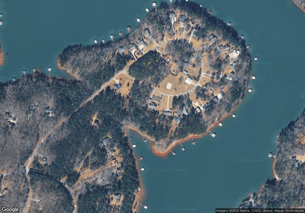
Map
Nearby Homes
- 49 Currahee Point
- 287 Spring Branch Cir
- 604 Mckinney Way
- 455 Chase Landing Rd
- 173 Laura Dr
- 0 Oliver Rd Unit 20284767
- 0 Oliver Rd Unit 1550308
- Lot 34 Stillwater Place
- 245 Currahee Place
- 3 Lost Forest Dr
- 02 Wood Valley Dr
- 223 Brookside Dr
- 004 Brookside Dr Unit 10A
- Lot 9 Block A Brookside Dr
- 1 Brookside Dr
- Lot 6 Lost Forest Dr
- 9B Lost Forest Dr
- 0 Lost Forest Dr
- 0 Wildwood Trail
- 0 Springview Dr Unit 22886896
- 589 Currahee Point
- 112 Currahee Point
- 651 Currahee Point
- 604 Currahee Point
- 572 Currahee Point
- 669 Currahee Point
- 18B Circle E
- 565 Currahee Point
- 0 Currahee Point Unit LOT 9 2841734
- 0 Currahee Point Unit LT 33 3232723
- 0 Currahee Point Unit 27A 3284002
- 0 Currahee Point Unit 33 7002845
- 0 Currahee Point Unit 7087012
- 685 Currahee Point
- 685 Currahee Point Unit LOT 33
- 685 Currahee Point Unit 33 SECTION 2
- 540 Currahee Point
- 553 Currahee Point
- 687 Currahee Point
- 364 Currahee Point