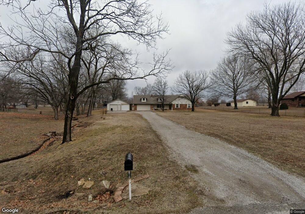
621 E 485 Rd Claremore, OK 74019
Estimated Value: $252,000 - $265,000
3
Beds
2
Baths
1,504
Sq Ft
$171/Sq Ft
Est. Value
About This Home
This home is located at 621 E 485 Rd, Claremore, OK 74019 and is currently estimated at $257,703, approximately $171 per square foot. 621 E 485 Rd is a home with nearby schools including Westside Elementary School, Will Rogers Junior High School, and Claremore High School.
Ownership History
Date
Name
Owned For
Owner Type
Purchase Details
Closed on
Aug 23, 2013
Sold by
Burtchett Kay F
Bought by
Brantly David
Current Estimated Value
Home Financials for this Owner
Home Financials are based on the most recent Mortgage that was taken out on this home.
Original Mortgage
$132,010
Outstanding Balance
$98,717
Interest Rate
4.53%
Mortgage Type
New Conventional
Estimated Equity
$158,986
Purchase Details
Closed on
Nov 29, 1995
Sold by
Strickland Shelba J
Create a Home Valuation Report for This Property
The Home Valuation Report is an in-depth analysis detailing your home's value as well as a comparison with similar homes in the area
Purchase History
| Date | Buyer | Sale Price | Title Company |
|---|---|---|---|
| Brantly David | $130,000 | None Available | |
| -- | $68,500 | -- |
Source: Public Records
Mortgage History
| Date | Status | Borrower | Loan Amount |
|---|---|---|---|
| Open | Brantly David | $132,010 |
Source: Public Records
Tax History
| Year | Tax Paid | Tax Assessment Tax Assessment Total Assessment is a certain percentage of the fair market value that is determined by local assessors to be the total taxable value of land and additions on the property. | Land | Improvement |
|---|---|---|---|---|
| 2025 | $1,539 | $15,323 | $2,580 | $12,743 |
| 2024 | $1,491 | $14,877 | $2,505 | $12,372 |
| 2023 | $1,491 | $14,443 | $2,200 | $12,243 |
| 2022 | $1,422 | $14,258 | $2,200 | $12,058 |
| 2021 | $1,462 | $15,215 | $2,200 | $13,015 |
| 2020 | $1,476 | $15,128 | $2,200 | $12,928 |
| 2019 | $1,445 | $14,410 | $2,200 | $12,210 |
| 2018 | $1,522 | $15,153 | $2,200 | $12,953 |
| 2017 | $1,481 | $15,008 | $2,200 | $12,808 |
| 2016 | $1,485 | $14,646 | $2,200 | $12,446 |
| 2015 | $1,397 | $14,366 | $2,200 | $12,166 |
| 2014 | $1,436 | $14,630 | $2,200 | $12,430 |
Source: Public Records
Map
Nearby Homes
- 20936 Valley West Dr
- 20807 River Bend Dr
- 9376 Colonial Dr
- 21078 S Hariston St
- 9212 E Shiloh Rd
- 3421 Heritage Dr
- 3311 Heritage Dr
- 1202 Fairway St
- 1204 Fairway St
- 21864 Westin Park Ln
- 3202 Club St
- 3204 Heritage Dr
- 3207 Covey Trail Cir
- 22095 Riverwood Dr
- 3104 Harbour Town Place
- 3103 Callaway Dr
- 506 Castle Pines Cir
- 2925 W Holly Hwy 20 Rd
- 2927 Holly Rd
- 2925 Holly Rd
- 20388 S 4112 Rd
- 8189 E 485 Rd
- 8266 E 485 Rd
- 8176 E Country Road Dr
- 8133 E 485 Rd
- 8144 E Country Road Dr
- 8186 E Country Road Dr
- 8112 NW Country Road Dr
- 8112 E Country Road Dr
- 8156 E 485 Rd
- 8298 E 485 Rd
- 617 Franklin Rd
- 21509 E Country Rd
- null NW Country Roads Dr
- 8107 E 485 Rd
- 8197 E Country Road Dr
- 8144 E 485 Rd
- 8098 E Country Road Dr
- 8125 E Country Road Dr
- 612 Franklin Rd
Your Personal Tour Guide
Ask me questions while you tour the home.