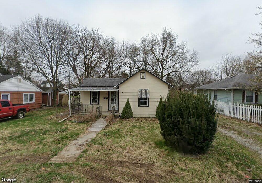
621 Grant St Springfield, OH 45504
Estimated Value: $43,000 - $104,064
1
Bed
1
Bath
743
Sq Ft
$97/Sq Ft
Est. Value
About This Home
This home is located at 621 Grant St, Springfield, OH 45504 and is currently estimated at $71,766, approximately $96 per square foot. 621 Grant St is a home located in Clark County with nearby schools including Snyder Park Elementary School, Roosevelt Middle School, and Springfield High School.
Ownership History
Date
Name
Owned For
Owner Type
Purchase Details
Closed on
Mar 12, 2025
Sold by
Roth Thomas Gideon
Bought by
Pannu Sawaranjit
Current Estimated Value
Purchase Details
Closed on
Feb 9, 2024
Sold by
Pnc Bank National Association
Bought by
Roth Thomas Gideon and Pannu Sawaranjit
Purchase Details
Closed on
Sep 20, 2023
Sold by
Pence Dixie
Bought by
Pnc Bank National Association
Purchase Details
Closed on
Nov 20, 2003
Sold by
Estate Of Ruth M Grogg
Bought by
Grogg Donald R
Purchase Details
Closed on
May 14, 1990
Create a Home Valuation Report for This Property
The Home Valuation Report is an in-depth analysis detailing your home's value as well as a comparison with similar homes in the area
Home Values in the Area
Average Home Value in this Area
Purchase History
| Date | Buyer | Sale Price | Title Company |
|---|---|---|---|
| Pannu Sawaranjit | $9,600 | None Listed On Document | |
| Roth Thomas Gideon | $29,600 | None Listed On Document | |
| Roth Thomas Gideon | $29,600 | None Listed On Document | |
| Pnc Bank National Association | $20,000 | Allodial Title | |
| Grogg Donald R | -- | -- | |
| -- | $23,500 | -- |
Source: Public Records
Tax History Compared to Growth
Tax History
| Year | Tax Paid | Tax Assessment Tax Assessment Total Assessment is a certain percentage of the fair market value that is determined by local assessors to be the total taxable value of land and additions on the property. | Land | Improvement |
|---|---|---|---|---|
| 2024 | -- | $11,460 | $4,630 | $6,830 |
| 2023 | $553 | $11,460 | $4,630 | $6,830 |
| 2022 | $566 | $11,460 | $4,630 | $6,830 |
| 2021 | $41 | $9,510 | $3,830 | $5,680 |
| 2020 | $41 | $9,510 | $3,830 | $5,680 |
| 2019 | $41 | $9,510 | $3,830 | $5,680 |
| 2018 | $112 | $10,750 | $4,500 | $6,250 |
| 2017 | $112 | $10,749 | $4,501 | $6,248 |
| 2016 | $112 | $10,749 | $4,501 | $6,248 |
| 2015 | $137 | $11,155 | $4,501 | $6,654 |
| 2014 | $137 | $11,155 | $4,501 | $6,654 |
| 2013 | $135 | $11,155 | $4,501 | $6,654 |
Source: Public Records
Map
Nearby Homes
- 222 N Race St Unit 224
- 522 W North St Unit 524
- 423 N Jackson St Unit 425
- 101`103 N Western
- 0 S Plum St
- 366 N Isabella St
- 120 E Ward St
- 1120 W High St
- 1009 N Lowry Ave
- 1009 W High St
- 20 N Center St
- 25 Mill Run Place
- 681 W Jefferson St Unit 683
- 1205 W High St
- 29 E Ward St
- 33-35 E Ward St
- 317 S Plum St
- 38 W High St Unit 3B
- 1420 Parker Ct
- 1015 Hillcrest Ave