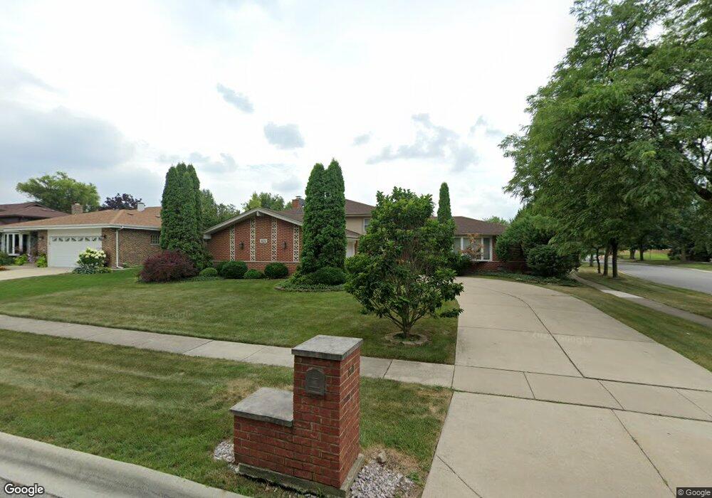
621 Honey Locust Ln Darien, IL 60561
Estimated Value: $423,000 - $554,000
5
Beds
2
Baths
1,679
Sq Ft
$296/Sq Ft
Est. Value
About This Home
This home is located at 621 Honey Locust Ln, Darien, IL 60561 and is currently estimated at $496,962, approximately $295 per square foot. 621 Honey Locust Ln is a home located in DuPage County with nearby schools including Mark Delay School, Lace Elementary School, and Eisenhower Jr High School.
Ownership History
Date
Name
Owned For
Owner Type
Purchase Details
Closed on
May 8, 2002
Sold by
North Star Trust Company
Bought by
Verkys Rolandas and Verkiene Aura
Current Estimated Value
Home Financials for this Owner
Home Financials are based on the most recent Mortgage that was taken out on this home.
Original Mortgage
$217,800
Outstanding Balance
$85,079
Interest Rate
5.87%
Estimated Equity
$411,883
Purchase Details
Closed on
Feb 16, 1994
Sold by
Midwest Bank & Trust Company
Bought by
Maywood Proviso State Bank
Create a Home Valuation Report for This Property
The Home Valuation Report is an in-depth analysis detailing your home's value as well as a comparison with similar homes in the area
Home Values in the Area
Average Home Value in this Area
Purchase History
| Date | Buyer | Sale Price | Title Company |
|---|---|---|---|
| Verkys Rolandas | $242,000 | First American Title | |
| Maywood Proviso State Bank | $150,000 | -- |
Source: Public Records
Mortgage History
| Date | Status | Borrower | Loan Amount |
|---|---|---|---|
| Open | Verkys Rolandas | $217,800 |
Source: Public Records
Tax History Compared to Growth
Tax History
| Year | Tax Paid | Tax Assessment Tax Assessment Total Assessment is a certain percentage of the fair market value that is determined by local assessors to be the total taxable value of land and additions on the property. | Land | Improvement |
|---|---|---|---|---|
| 2024 | $8,800 | $144,580 | $64,920 | $79,660 |
| 2023 | $8,477 | $132,910 | $59,680 | $73,230 |
| 2022 | $7,945 | $124,670 | $57,070 | $67,600 |
| 2021 | $7,642 | $123,250 | $56,420 | $66,830 |
| 2020 | $7,540 | $120,810 | $55,300 | $65,510 |
| 2019 | $7,289 | $115,920 | $53,060 | $62,860 |
| 2018 | $7,385 | $118,260 | $52,820 | $65,440 |
| 2017 | $7,314 | $113,800 | $50,830 | $62,970 |
| 2016 | $7,126 | $108,610 | $48,510 | $60,100 |
| 2015 | $7,027 | $102,180 | $45,640 | $56,540 |
| 2014 | $7,178 | $102,850 | $44,370 | $58,480 |
| 2013 | $6,939 | $102,370 | $44,160 | $58,210 |
Source: Public Records
Map
Nearby Homes
- 7817 Mayfair Ln
- 709 79th St Unit 103
- 709 79th St Unit 307
- 709 79th St Unit 403
- 801 79th St Unit 105
- 7715 Sussex Creek Dr Unit 1D
- 716 Somerset Ln
- Lot 1, 2, 3, 4 & 5 Nantucket Dr
- 17W455 Concord Place
- 8081 Tennessee Ave
- 7976 Clarendon Hills Rd
- 7831 Clarendon Hills Rd
- 7515 Nantucket Dr Unit 404
- 7525 Nantucket Dr Unit 210
- 7510 Farmingdale Dr Unit 208
- 320 Sheridan Dr Unit 2C
- 9S080 Stratford Place
- 7713 Brookhaven Ave
- 8301 Highpoint Cir Unit C
- 1018 Bob-O-link Ln
- 617 Honey Locust Ln
- 622 79th St
- 613 Honey Locust Ln
- 618 79th St
- 7809 Farmingdale Dr
- 614 79th St
- 609 Honey Locust Ln
- 7810 Sawyer Rd
- 7805 Farmingdale Dr
- 7806 Sawyer Rd
- 605 Honey Locust Ln
- 606 79th St
- 7821 Dorchester Ln
- 7817 Dorchester Ln
- 7825 Dorchester Ln
- 625 79th St
- 617 79th St
- 621 79th St
- 7802 Sawyer Rd
- 7813 Dorchester Ln