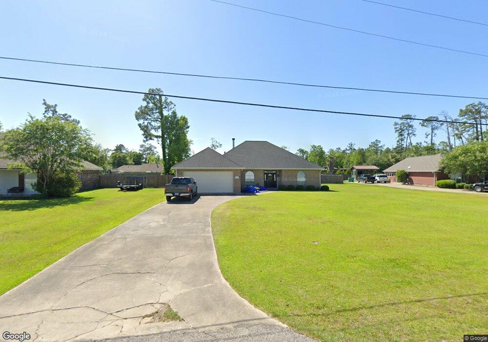
621 Josh St Lake Charles, LA 70611
Moss Bluff NeighborhoodEstimated Value: $272,333 - $340,000
3
Beds
2
Baths
2,360
Sq Ft
$129/Sq Ft
Est. Value
About This Home
This home is located at 621 Josh St, Lake Charles, LA 70611 and is currently estimated at $305,333, approximately $129 per square foot. 621 Josh St is a home located in Calcasieu Parish with nearby schools including Graham & Parks Alternative Public School, Moss Bluff Elementary School, and Putnam Avenue Upper School.
Create a Home Valuation Report for This Property
The Home Valuation Report is an in-depth analysis detailing your home's value as well as a comparison with similar homes in the area
Home Values in the Area
Average Home Value in this Area
Tax History Compared to Growth
Tax History
| Year | Tax Paid | Tax Assessment Tax Assessment Total Assessment is a certain percentage of the fair market value that is determined by local assessors to be the total taxable value of land and additions on the property. | Land | Improvement |
|---|---|---|---|---|
| 2024 | $1,365 | $20,000 | $2,380 | $17,620 |
| 2023 | $1,344 | $20,000 | $2,380 | $17,620 |
| 2022 | $1,321 | $20,000 | $2,380 | $17,620 |
| 2021 | $1,386 | $20,000 | $2,380 | $17,620 |
| 2020 | $1,975 | $18,140 | $2,280 | $15,860 |
| 2019 | $2,166 | $19,820 | $2,200 | $17,620 |
| 2018 | $1,349 | $19,820 | $2,200 | $17,620 |
| 2017 | $2,199 | $19,820 | $2,200 | $17,620 |
| 2016 | $2,213 | $19,820 | $2,200 | $17,620 |
| 2015 | $2,213 | $19,820 | $2,200 | $17,620 |
Source: Public Records
Map
Nearby Homes
- 521 Josh St
- 0 Vickie Ln
- 231 N Presidential Cir
- 0 Parish Rd Unit 45-679
- 0 Parish Rd Unit SWL24004393
- 211 Senator Ln
- 647 Morrow Rd
- 928 Crawford Dr
- 298 S Presidential Cir
- 290 Morrow Rd
- 1198 N Hwy 171 Hwy
- 740 Sam Houston Jones Pkwy
- 201 Armistead Ln
- 419 You Winn Rd
- 179 Armistead Ln
- 986 Hollyvale Dr
- 0 Ravenhurst Dr
- 0 Ravenhurst Dr Unit SWL23004014
- 1306 Edith St
- 1107 Idlebrook Dr