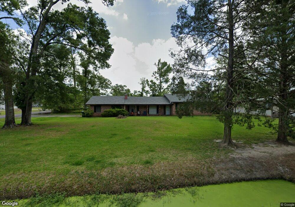
621 Landry Rd Westlake, LA 70669
Estimated Value: $145,268 - $209,000
3
Beds
2
Baths
2,200
Sq Ft
$79/Sq Ft
Est. Value
About This Home
This home is located at 621 Landry Rd, Westlake, LA 70669 and is currently estimated at $174,567, approximately $79 per square foot. 621 Landry Rd is a home located in Calcasieu Parish with nearby schools including Westwood Elementary School, Western Heights Elementary School, and S.P. Arnett Middle School.
Ownership History
Date
Name
Owned For
Owner Type
Purchase Details
Closed on
Aug 19, 2005
Sold by
Napier Frances Elizabeth
Bought by
Mouton Juliette Frederick
Current Estimated Value
Home Financials for this Owner
Home Financials are based on the most recent Mortgage that was taken out on this home.
Original Mortgage
$93,932
Outstanding Balance
$49,312
Interest Rate
5.65%
Mortgage Type
New Conventional
Estimated Equity
$125,255
Create a Home Valuation Report for This Property
The Home Valuation Report is an in-depth analysis detailing your home's value as well as a comparison with similar homes in the area
Home Values in the Area
Average Home Value in this Area
Purchase History
| Date | Buyer | Sale Price | Title Company |
|---|---|---|---|
| Mouton Juliette Frederick | $92,100 | None Available |
Source: Public Records
Mortgage History
| Date | Status | Borrower | Loan Amount |
|---|---|---|---|
| Open | Mouton Juliette Frederick | $93,932 |
Source: Public Records
Tax History Compared to Growth
Tax History
| Year | Tax Paid | Tax Assessment Tax Assessment Total Assessment is a certain percentage of the fair market value that is determined by local assessors to be the total taxable value of land and additions on the property. | Land | Improvement |
|---|---|---|---|---|
| 2024 | $656 | $5,980 | $930 | $5,050 |
| 2023 | $669 | $5,980 | $930 | $5,050 |
| 2022 | $672 | $5,980 | $930 | $5,050 |
| 2021 | $0 | $5,980 | $930 | $5,050 |
| 2020 | $607 | $5,440 | $890 | $4,550 |
| 2019 | $683 | $5,910 | $860 | $5,050 |
| 2018 | $661 | $5,910 | $860 | $5,050 |
| 2017 | $652 | $5,910 | $860 | $5,050 |
| 2016 | $661 | $5,910 | $860 | $5,050 |
| 2015 | $661 | $5,910 | $860 | $5,050 |
Source: Public Records
Map
Nearby Homes
- 590 Landry Rd
- 2518 Donnelly Rd
- 2525 Davis Rd
- 2526 Cox Rd
- 109 W Wayside Dr
- 2524 Cox Rd
- 0 W Wayside Dr Unit SWL25001592
- 600 W Wayside Dr
- 618 John Stine Rd
- 615 Hudson Dr
- 2502 & 2504 German Rd
- 0 Westwood Rd
- 0 Davis Rd
- 2429 Duraso Dr
- 1512 Fairway Dr
- 2425 Duraso Dr
- 0 Fletcher Rd
- 320 Mcguire Rd
- 3200 Westwood Rd Unit 99
- 1622 Reserve Dr
- 0 Straley Rd
- 2527 Straley Rd
- 2564 Straley Rd
- 602 Landry Rd
- 2525 Straley Rd
- 2560 Straley Rd
- 0 E Landry Unit 47372
- 600 Landry Rd
- 2530 Anderson Rd
- 2621 Donnelly Rd
- 2528 Anderson Rd
- 0 Anderson Rd
- 0 Anderson Rd
- 0 Landry Rd
- 2619 Donnelly Rd
- 414 Landry Rd
- 2528 Straley Rd
- 2533 Anderson Rd
- 2519 Straley Rd
- 700 Landry Rd