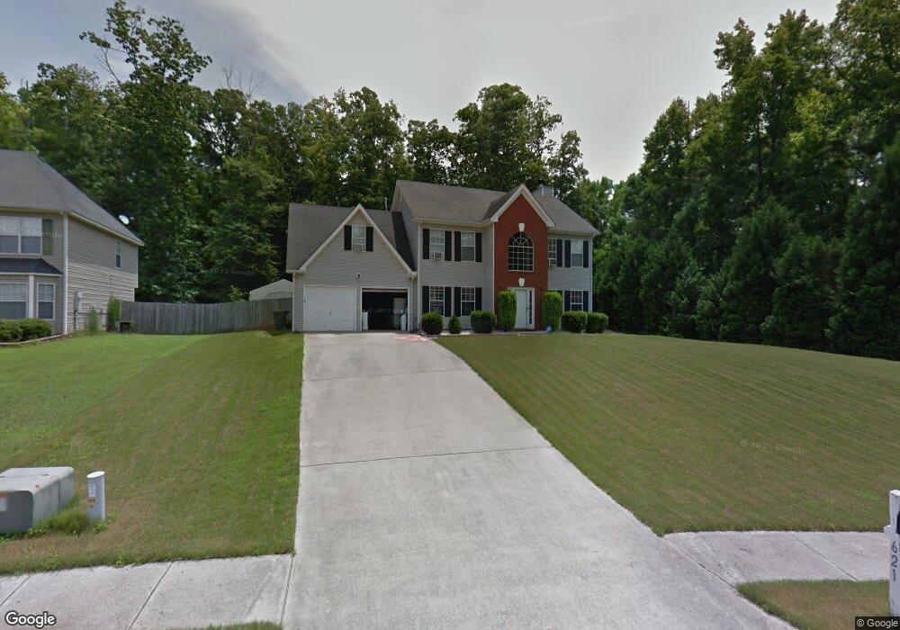
621 Michael Cir Monroe, GA 30655
Estimated Value: $313,000 - $337,000
Studio
--
Bath
2,165
Sq Ft
$151/Sq Ft
Est. Value
About This Home
This home is located at 621 Michael Cir, Monroe, GA 30655 and is currently estimated at $327,522, approximately $151 per square foot. 621 Michael Cir is a home located in Walton County with nearby schools including Atha Road Elementary School, Youth Middle School, and Walnut Grove High School.
Ownership History
Date
Name
Owned For
Owner Type
Purchase Details
Closed on
Jan 30, 2024
Sold by
Bindraban Nfm
Bought by
Singh Anand and Singh Indroutie
Current Estimated Value
Purchase Details
Closed on
Oct 26, 2007
Sold by
Lancaster Burt T and Lancaster Lindsay M
Bought by
Bindraban Nfm and Sukhdeo Reawti
Home Financials for this Owner
Home Financials are based on the most recent Mortgage that was taken out on this home.
Original Mortgage
$133,000
Interest Rate
6.27%
Mortgage Type
New Conventional
Purchase Details
Closed on
Oct 18, 2001
Sold by
Scenic Homes
Bought by
Lancaster Burt T and Lancaster Lindsay M
Home Financials for this Owner
Home Financials are based on the most recent Mortgage that was taken out on this home.
Original Mortgage
$134,750
Interest Rate
6.6%
Mortgage Type
FHA
Create a Home Valuation Report for This Property
The Home Valuation Report is an in-depth analysis detailing your home's value as well as a comparison with similar homes in the area
Home Values in the Area
Average Home Value in this Area
Purchase History
| Date | Buyer | Sale Price | Title Company |
|---|---|---|---|
| Singh Anand | -- | -- | |
| Bindraban Nfm | $141,000 | -- | |
| Lancaster Burt T | $135,900 | -- |
Source: Public Records
Mortgage History
| Date | Status | Borrower | Loan Amount |
|---|---|---|---|
| Previous Owner | Bindraban Nfm | $133,000 | |
| Previous Owner | Lancaster Burt T | $134,750 |
Source: Public Records
Tax History
| Year | Tax Paid | Tax Assessment Tax Assessment Total Assessment is a certain percentage of the fair market value that is determined by local assessors to be the total taxable value of land and additions on the property. | Land | Improvement |
|---|---|---|---|---|
| 2025 | $3,226 | $128,840 | $22,000 | $106,840 |
| 2024 | $3,226 | $94,760 | $16,914 | $77,846 |
| 2023 | $3,313 | $94,760 | $16,914 | $77,846 |
| 2022 | $3,539 | $94,760 | $17,200 | $77,560 |
| 2021 | $2,704 | $69,960 | $13,200 | $56,760 |
| 2020 | $2,561 | $64,560 | $12,400 | $52,160 |
| 2019 | $2,464 | $55,840 | $12,000 | $43,840 |
| 2018 | $2,199 | $55,840 | $12,000 | $43,840 |
| 2017 | $1,978 | $47,200 | $8,000 | $39,200 |
| 2016 | $1,944 | $47,160 | $8,000 | $39,160 |
| 2015 | $1,732 | $41,280 | $8,000 | $33,280 |
| 2014 | $1,446 | $33,440 | $8,000 | $25,440 |
Source: Public Records
Map
Nearby Homes
- 936 Lopez Ln Unit 3
- 720 Overlook Crest
- 716 Overlook Crest
- 661 Michael Cir
- 567 Ridgeview Ct
- 525 Michael Cir
- 675 Michael Cir
- 679 Michael Cir
- 106 Sycamore Ct Unit 1
- 845 Ashley Ct
- 921 Horizon Ct
- 810 Hampton
- 823 Legends Dr
- 631 St Ives Walk
- 506 Breedlove Dr
- 505 Breedlove Dr
- 299 Claiborne Way
- 754 Oakland Ridge
- 911 Woodchase Dr
- 306 Calumet Ln
- 617 Michael Dr
- 617 Michael Cir
- 615 Michael Cir Unit 615
- 615 Michael Cir
- 622 Michael Cir
- 616 Michael Cir
- 625 Michael Cir
- 611 Michael Cir
- 934 Amber Trail
- 629 Michael Cir
- 930 Amber Trail
- 925 Heritage Ridge Ct
- 975 Tigers Way
- 923 Heritage Ridge Ct
- 634 Michael Cir
- 609 Michael Cir
- 633 Michael Cir
- 926 Amber Trail
- 931 Amber Trail
- 921 Heritage Ridge Ct Unit 1
Your Personal Tour Guide
Ask me questions while you tour the home.