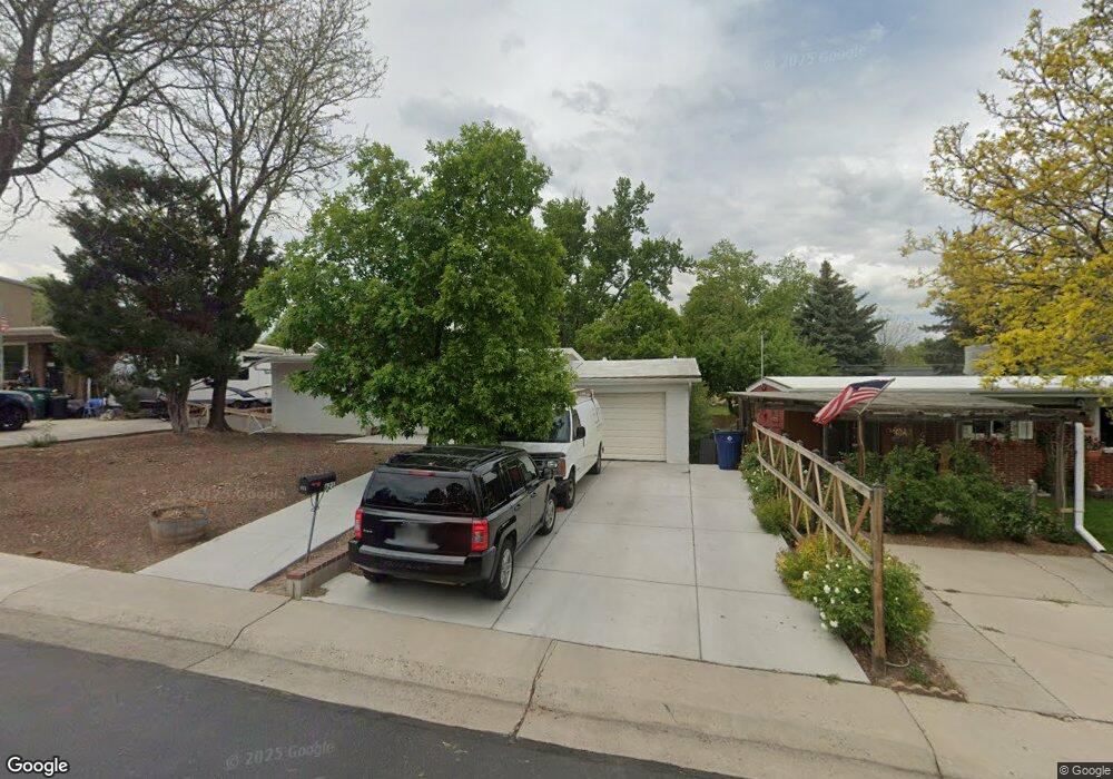
621 S Simms St Lakewood, CO 80228
Glennon Heights NeighborhoodEstimated Value: $398,000 - $479,000
2
Beds
1
Bath
850
Sq Ft
$513/Sq Ft
Est. Value
About This Home
This home is located at 621 S Simms St, Lakewood, CO 80228 and is currently estimated at $436,204, approximately $513 per square foot. 621 S Simms St is a home located in Jefferson County with nearby schools including Dunstan Middle School, Green Mountain High School, and Augustine Classical Academy.
Ownership History
Date
Name
Owned For
Owner Type
Purchase Details
Closed on
Jul 29, 2014
Sold by
The Agnes E Fryer Revocable Trust
Bought by
Fabian Raul
Current Estimated Value
Home Financials for this Owner
Home Financials are based on the most recent Mortgage that was taken out on this home.
Original Mortgage
$136,000
Outstanding Balance
$103,272
Interest Rate
4%
Mortgage Type
Seller Take Back
Estimated Equity
$332,932
Purchase Details
Closed on
Oct 28, 1997
Sold by
Fryer Agnes E
Bought by
The Agnes E Fryer Revocable Trust
Create a Home Valuation Report for This Property
The Home Valuation Report is an in-depth analysis detailing your home's value as well as a comparison with similar homes in the area
Home Values in the Area
Average Home Value in this Area
Purchase History
| Date | Buyer | Sale Price | Title Company |
|---|---|---|---|
| Fabian Raul | $156,000 | Homestead Title & Escrow | |
| The Agnes E Fryer Revocable Trust | -- | -- |
Source: Public Records
Mortgage History
| Date | Status | Borrower | Loan Amount |
|---|---|---|---|
| Open | Fabian Raul | $136,000 |
Source: Public Records
Tax History Compared to Growth
Tax History
| Year | Tax Paid | Tax Assessment Tax Assessment Total Assessment is a certain percentage of the fair market value that is determined by local assessors to be the total taxable value of land and additions on the property. | Land | Improvement |
|---|---|---|---|---|
| 2024 | $2,320 | $25,720 | $11,339 | $14,381 |
| 2023 | $2,320 | $25,720 | $11,339 | $14,381 |
| 2022 | $1,039 | $22,523 | $8,968 | $13,555 |
| 2021 | $2,108 | $23,171 | $9,226 | $13,945 |
| 2020 | $1,845 | $20,374 | $7,600 | $12,774 |
| 2019 | $1,821 | $20,374 | $7,600 | $12,774 |
| 2018 | $1,737 | $18,800 | $5,913 | $12,887 |
| 2017 | $1,527 | $18,800 | $5,913 | $12,887 |
| 2016 | $1,460 | $16,770 | $5,610 | $11,160 |
| 2015 | $1,280 | $16,770 | $5,610 | $11,160 |
| 2014 | $1,280 | $13,470 | $4,881 | $8,589 |
Source: Public Records
Map
Nearby Homes
- 599 S Swadley St
- 752 S Union Blvd
- 571 S Taft St
- 928 S Swadley St
- 11363 W Briarwood Dr
- 12098 W Virginia Dr
- 892 S Union Blvd
- 11549 W Virginia Ave
- 451 S Simms St
- 12023 W Virginia Ave
- 958 S Routt Ct
- 12032 W Dakota Dr
- 12029 W Dakota Dr
- 12276 W Ohio Place
- 11112 W Exposition Dr
- 398 S Queen Cir
- 367 S Queen Cir
- 580 S Parfet St
- 300 S Simms St
- 950 S Pierson Way
- 631 S Simms St
- 611 S Simms St
- 638 S Swadley St
- 641 S Simms St
- 658 S Swadley St
- 601 S Simms St
- 618 S Swadley St
- 651 S Simms St
- 678 S Swadley St
- 630 S Simms St
- 690 S Simms St
- 661 S Simms St
- 698 S Swadley St
- 591 S Simms St
- 639 S Swadley St
- 659 S Swadley St
- 11580 W Center Ave
- 598 S Swadley St
- 671 S Simms St
- 619 S Swadley St