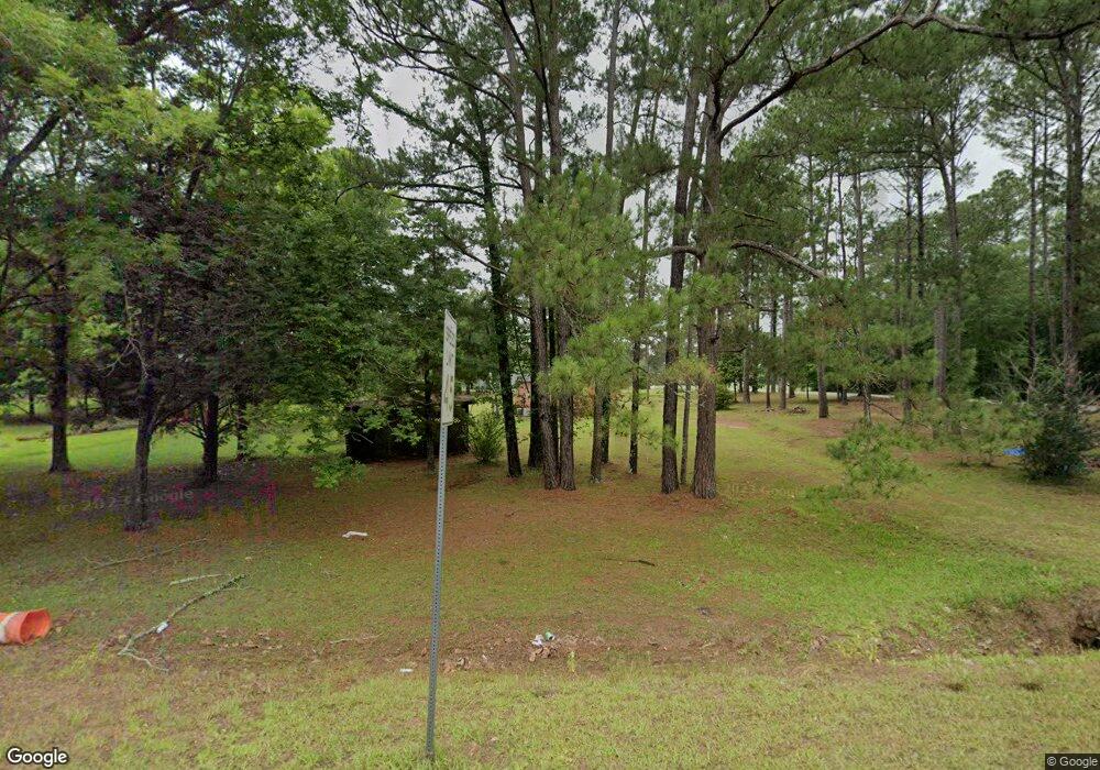
621 S Westover Blvd Albany, GA 31707
Estimated Value: $827,000 - $952,947
--
Bed
--
Bath
--
Sq Ft
167.17
Acres
About This Home
This home is located at 621 S Westover Blvd, Albany, GA 31707 and is currently estimated at $889,974. 621 S Westover Blvd is a home located in Dougherty County with nearby schools including West Town Elementary School, Southside Middle School, and Monroe High School.
Ownership History
Date
Name
Owned For
Owner Type
Purchase Details
Closed on
Apr 21, 2025
Sold by
West Family Trust
Bought by
Northampton Hills Llc
Current Estimated Value
Home Financials for this Owner
Home Financials are based on the most recent Mortgage that was taken out on this home.
Original Mortgage
$395,805
Outstanding Balance
$234,080
Interest Rate
6.67%
Mortgage Type
New Conventional
Estimated Equity
$655,894
Purchase Details
Closed on
Dec 28, 2012
Sold by
West Thomas A
Bought by
West Fam Trust
Purchase Details
Closed on
Feb 18, 2003
Sold by
Ayres Investment Holdings Inc
Bought by
West Tom A
Purchase Details
Closed on
Aug 25, 1999
Sold by
Rockwell International Corp
Bought by
Ayres Investment Holdings Inc
Purchase Details
Closed on
Apr 13, 1982
Sold by
Standard Prop Land
Bought by
Rockwell Inter Corp
Create a Home Valuation Report for This Property
The Home Valuation Report is an in-depth analysis detailing your home's value as well as a comparison with similar homes in the area
Home Values in the Area
Average Home Value in this Area
Purchase History
| Date | Buyer | Sale Price | Title Company |
|---|---|---|---|
| Northampton Hills Llc | $390,000 | -- | |
| West Fam Trust | -- | -- | |
| West Tom A | -- | -- | |
| Ayres Investment Holdings Inc | $261,300 | -- | |
| Rockwell Inter Corp | -- | -- |
Source: Public Records
Mortgage History
| Date | Status | Borrower | Loan Amount |
|---|---|---|---|
| Open | Northampton Hills Llc | $395,805 |
Source: Public Records
Tax History Compared to Growth
Tax History
| Year | Tax Paid | Tax Assessment Tax Assessment Total Assessment is a certain percentage of the fair market value that is determined by local assessors to be the total taxable value of land and additions on the property. | Land | Improvement |
|---|---|---|---|---|
| 2024 | $6,851 | $143,600 | $143,600 | $0 |
| 2023 | $6,690 | $143,600 | $143,600 | $0 |
| 2022 | $6,715 | $143,600 | $143,600 | $0 |
| 2021 | $6,226 | $143,600 | $143,600 | $0 |
| 2020 | $6,240 | $143,600 | $143,600 | $0 |
| 2019 | $6,264 | $143,600 | $143,600 | $0 |
| 2018 | $6,291 | $143,600 | $143,600 | $0 |
| 2017 | $5,860 | $143,600 | $143,600 | $0 |
| 2016 | $5,863 | $143,600 | $143,600 | $0 |
| 2015 | $5,879 | $143,600 | $143,600 | $0 |
| 2014 | $5,806 | $143,600 | $143,600 | $0 |
Source: Public Records
Map
Nearby Homes
- 604 Shamrock Dr
- 1825 W Oakridge Dr
- 2915 Autumn Ave
- 2303 Joel Dr
- 3006 Harvest Ln
- 1029 Davidson Dr
- 3019 Winterwood Ave
- 1104 University St
- 1003 University St
- 2102 Techwood Dr
- 501 Endicott Ln
- 410 Endicott Ln
- 219 Lockett Station Rd
- 834 Lockett Station Rd
- 838 Lockett Station Rd
- 902 Lockett Station Rd
- 906 Lockett Station Rd
- 621 Aztec Ln
- 2013 Jones Ave
- 4428 Gillionville Rd
- 0 S Westover Blvd
- 628 S Westover Blvd
- 629 S Westover Blvd
- 2602 Old Jim Davis Rd
- 633 S Westover Blvd
- 627 S Westover Blvd
- 2604 Old Jim Davis Rd
- 632 S Westover Blvd
- 635 S Westover Blvd
- 2520 Old Jim Davis Rd
- 2606 Old Jim Davis Rd
- 00 S Westover Blvd
- 2610 Old Jim Davis Rd
- S S Westover Blvd
- 2504 Old Jim Davis Rd
- 730 S Westover Blvd
- 2719 Phillips Dr
- 2729 Phillips Dr
- 718 Shamrock Dr
- 703 Canal St
