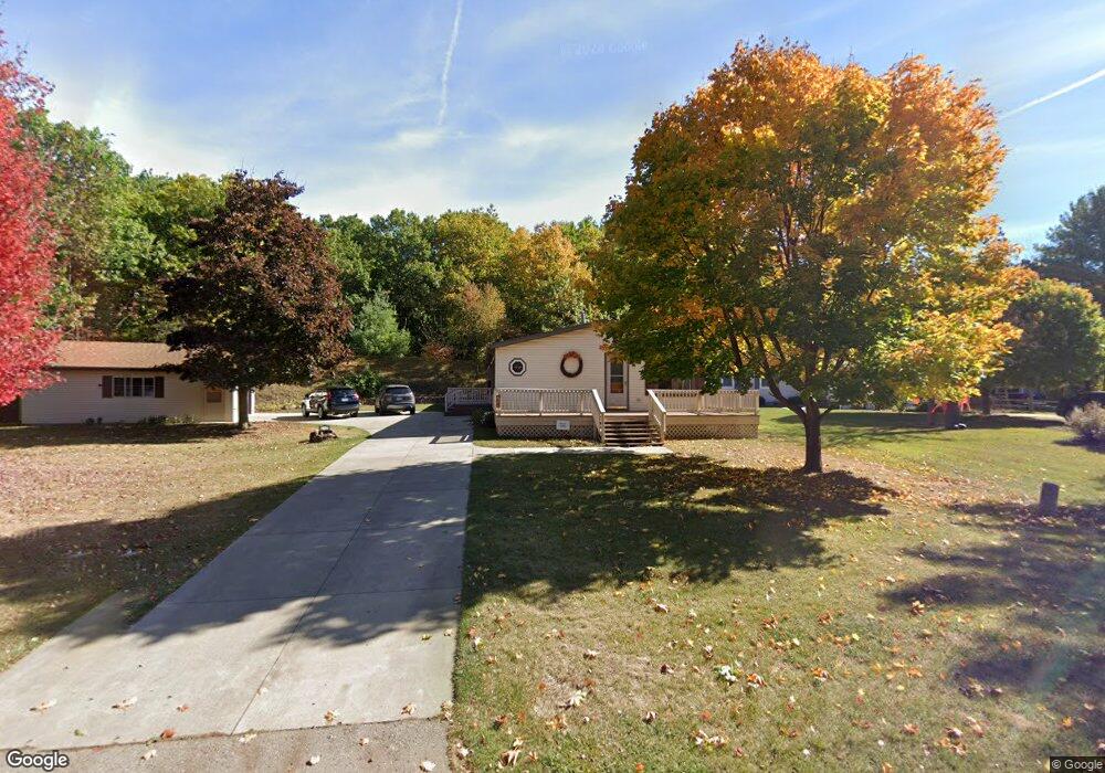
621 Sand Rd Port Austin, MI 48467
Estimated Value: $261,008 - $430,000
3
Beds
2
Baths
1,708
Sq Ft
$203/Sq Ft
Est. Value
About This Home
This home is located at 621 Sand Rd, Port Austin, MI 48467 and is currently estimated at $346,252, approximately $202 per square foot. 621 Sand Rd is a home located in Huron County with nearby schools including North Huron School.
Create a Home Valuation Report for This Property
The Home Valuation Report is an in-depth analysis detailing your home's value as well as a comparison with similar homes in the area
Home Values in the Area
Average Home Value in this Area
Tax History Compared to Growth
Tax History
| Year | Tax Paid | Tax Assessment Tax Assessment Total Assessment is a certain percentage of the fair market value that is determined by local assessors to be the total taxable value of land and additions on the property. | Land | Improvement |
|---|---|---|---|---|
| 2025 | $1,524 | $119,400 | $0 | $0 |
| 2024 | $558 | $116,200 | $0 | $0 |
| 2023 | $531 | $105,700 | $0 | $0 |
| 2022 | $506 | $82,900 | $0 | $0 |
| 2021 | $1,319 | $74,600 | $0 | $0 |
| 2020 | $1,278 | $76,500 | $0 | $0 |
| 2019 | $1,278 | $68,500 | $0 | $0 |
| 2018 | $1,271 | $62,500 | $0 | $0 |
| 2017 | $1,236 | $63,600 | $0 | $0 |
| 2016 | $449 | $65,300 | $0 | $0 |
| 2015 | $42,060 | $57,600 | $0 | $0 |
| 2014 | -- | $53,100 | $0 | $0 |
Source: Public Records
Map
Nearby Homes
- 539 Cove Dr
- 8779 Larned Rd Unit 21
- 165 Washington St
- 1455 Sand Rd
- 14 Lot # lots 14-17 Towering Oaks Dr
- 00 Point Aux Barques
- 2965 Pointe Aux Barques Rd
- 6789 Oak Beach Rd
- 3897 Sand Rd
- 3948 Mary Anne Ln
- 6637 Osbourn Dr
- 4150 Port Austin Rd
- 4655 Port Austin Rd
- 7636 N Lakeshore Rd
- 4721 Port Austin Rd
- 3201 N Van Dyke Rd
- 3201 Thomas Rd
- 7365 Lighthouse Rd
- 7282 Birch Dr
- 7239 Lighthouse Rd