Estimated Value: $263,000 - $324,000
3
Beds
2
Baths
1,264
Sq Ft
$234/Sq Ft
Est. Value
About This Home
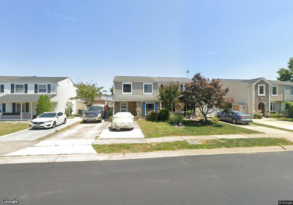
This home is located at 621 Shore Dr, Joppa, MD 21085 and is currently estimated at $295,248, approximately $233 per square foot. 621 Shore Dr is a home located in Harford County with nearby schools including Joppatowne Elementary School, Magnolia Middle School, and Joppatowne High School.
Ownership History
Date
Name
Owned For
Owner Type
Purchase Details
Closed on
Nov 22, 2024
Sold by
Brooks Debra
Bought by
Brooks Debra and Brooks Erin Michelle
Current Estimated Value
Purchase Details
Closed on
Aug 30, 2005
Sold by
Bearce Benita B
Bought by
Brooks Debra
Purchase Details
Closed on
Dec 14, 1987
Sold by
Viola Carmen L
Bought by
Bearce Benita B
Home Financials for this Owner
Home Financials are based on the most recent Mortgage that was taken out on this home.
Original Mortgage
$64,000
Interest Rate
10.66%
Create a Home Valuation Report for This Property
The Home Valuation Report is an in-depth analysis detailing your home's value as well as a comparison with similar homes in the area
Home Values in the Area
Average Home Value in this Area
Purchase History
| Date | Buyer | Sale Price | Title Company |
|---|---|---|---|
| Brooks Debra | -- | None Listed On Document | |
| Brooks Debra | -- | None Listed On Document | |
| Brooks Debra | -- | -- | |
| Bearce Benita B | $80,000 | -- |
Source: Public Records
Mortgage History
| Date | Status | Borrower | Loan Amount |
|---|---|---|---|
| Previous Owner | Bearce Benita B | $64,000 |
Source: Public Records
Tax History
| Year | Tax Paid | Tax Assessment Tax Assessment Total Assessment is a certain percentage of the fair market value that is determined by local assessors to be the total taxable value of land and additions on the property. | Land | Improvement |
|---|---|---|---|---|
| 2025 | $1,867 | $185,733 | $0 | $0 |
| 2024 | $1,867 | $171,300 | $72,500 | $98,800 |
| 2023 | $1,832 | $168,133 | $0 | $0 |
| 2022 | $1,798 | $164,967 | $0 | $0 |
| 2021 | $1,867 | $161,800 | $72,500 | $89,300 |
| 2020 | $1,867 | $161,800 | $72,500 | $89,300 |
| 2019 | $1,867 | $161,800 | $72,500 | $89,300 |
| 2018 | $1,962 | $171,600 | $88,700 | $82,900 |
| 2017 | $1,949 | $171,600 | $0 | $0 |
| 2016 | -- | $169,333 | $0 | $0 |
| 2015 | $2,406 | $168,200 | $0 | $0 |
| 2014 | $2,406 | $168,200 | $0 | $0 |
Source: Public Records
Map
Nearby Homes
- 688 Shore Dr
- 722 Shore Dr
- 415 Shore Dr
- 3 Old Sound Rd
- 737 Shore Dr
- 4 Old Sound Rd
- 532 Riviera Dr Unit 532-B
- 800 Ferguson Rd
- 714 Joppa Farm Rd
- 819 Chatfield Rd
- 902 Minglewood Ln
- 259 Foster Knoll Dr
- LOTS 2-6 Trimble Rd
- 509 Foster Knoll Dr
- TBD Trimble Rd
- 415 Trimble Rd
- 413 Trimble Rd
- 527A Trimble Rd
- 311 Summerfield Ct
- 424 Trimble Rd
Your Personal Tour Guide
Ask me questions while you tour the home.