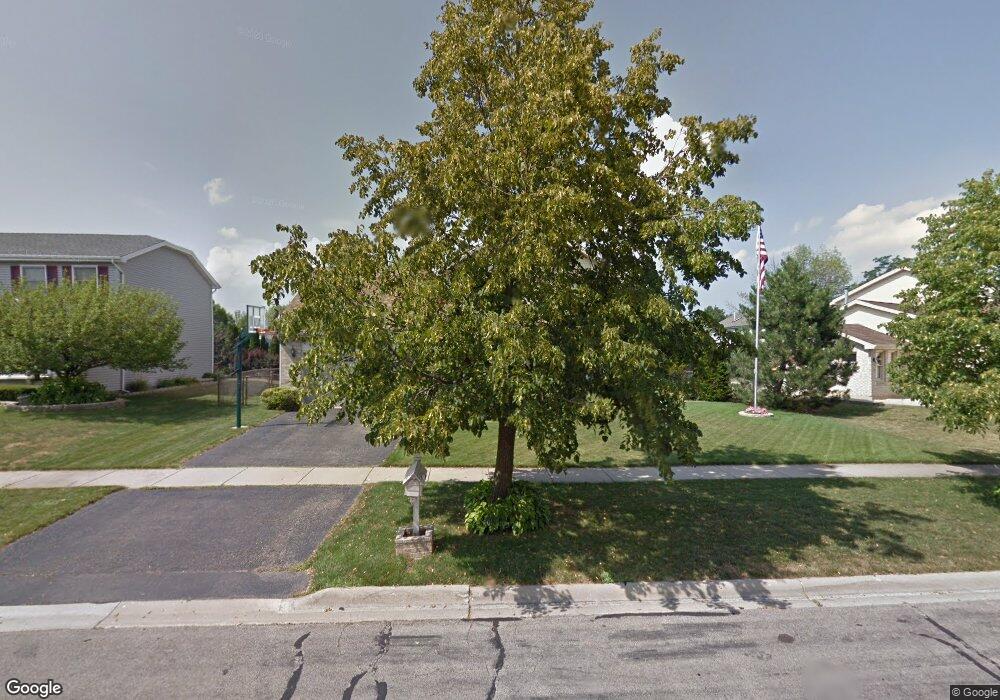
621 Stuart Dr Carol Stream, IL 60188
Estimated Value: $445,939 - $522,000
3
Beds
3
Baths
2,081
Sq Ft
$233/Sq Ft
Est. Value
About This Home
This home is located at 621 Stuart Dr, Carol Stream, IL 60188 and is currently estimated at $484,735, approximately $232 per square foot. 621 Stuart Dr is a home located in DuPage County with nearby schools including Roy De Shane Elementary School, Stratford Middle School, and Glenbard North High School.
Ownership History
Date
Name
Owned For
Owner Type
Purchase Details
Closed on
Oct 31, 2002
Sold by
Price Maria M and Price Guy M
Bought by
Price Maria M
Current Estimated Value
Purchase Details
Closed on
Sep 30, 1999
Sold by
Dziekan John V and Dziekan Loretta M
Bought by
Price Guy M and Price Maria M
Home Financials for this Owner
Home Financials are based on the most recent Mortgage that was taken out on this home.
Original Mortgage
$142,000
Outstanding Balance
$42,516
Interest Rate
7.72%
Estimated Equity
$442,219
Create a Home Valuation Report for This Property
The Home Valuation Report is an in-depth analysis detailing your home's value as well as a comparison with similar homes in the area
Home Values in the Area
Average Home Value in this Area
Purchase History
| Date | Buyer | Sale Price | Title Company |
|---|---|---|---|
| Price Maria M | -- | -- | |
| Price Guy M | $224,000 | -- |
Source: Public Records
Mortgage History
| Date | Status | Borrower | Loan Amount |
|---|---|---|---|
| Open | Price Guy M | $142,000 |
Source: Public Records
Tax History
| Year | Tax Paid | Tax Assessment Tax Assessment Total Assessment is a certain percentage of the fair market value that is determined by local assessors to be the total taxable value of land and additions on the property. | Land | Improvement |
|---|---|---|---|---|
| 2024 | $9,988 | $124,429 | $32,925 | $91,504 |
| 2023 | $9,452 | $113,790 | $30,110 | $83,680 |
| 2022 | $10,644 | $121,380 | $29,910 | $91,470 |
| 2021 | $10,156 | $115,330 | $28,420 | $86,910 |
| 2020 | $9,900 | $111,540 | $27,730 | $83,810 |
| 2019 | $9,528 | $107,190 | $26,650 | $80,540 |
| 2018 | $9,675 | $110,140 | $25,950 | $84,190 |
| 2017 | $9,156 | $102,080 | $24,050 | $78,030 |
| 2016 | $8,681 | $94,480 | $22,260 | $72,220 |
| 2015 | $8,491 | $88,160 | $20,770 | $67,390 |
| 2014 | $7,516 | $77,410 | $18,240 | $59,170 |
| 2013 | $7,557 | $80,060 | $18,860 | $61,200 |
Source: Public Records
Map
Nearby Homes
- 517 Danbury Dr
- 553 Alton Ct Unit 2113
- 545 Alton Ct Unit 273
- 514 Alton Ct Unit 2
- 761 Colorado Ct Unit 2241
- 766 Colorado Ct Unit 2293
- 734 Colorado Ct Unit 734
- 454 Esselen Ct Unit 2
- 648 Thunderbird Trail
- 770 Birchbark Trail
- 862 Omaha Ct
- 880 Hampton Dr
- 403 Arrowhead Trail
- 720 Hoover Dr Unit 124
- 848 Birchbark Trail
- 832 Kansas St
- 27W270 Jefferson St
- 1N053 Lot 1 Farwell St
- 1N063 LOT 2 Farwell St
- 1N083 LOT 4 Farwell St
Your Personal Tour Guide
Ask me questions while you tour the home.