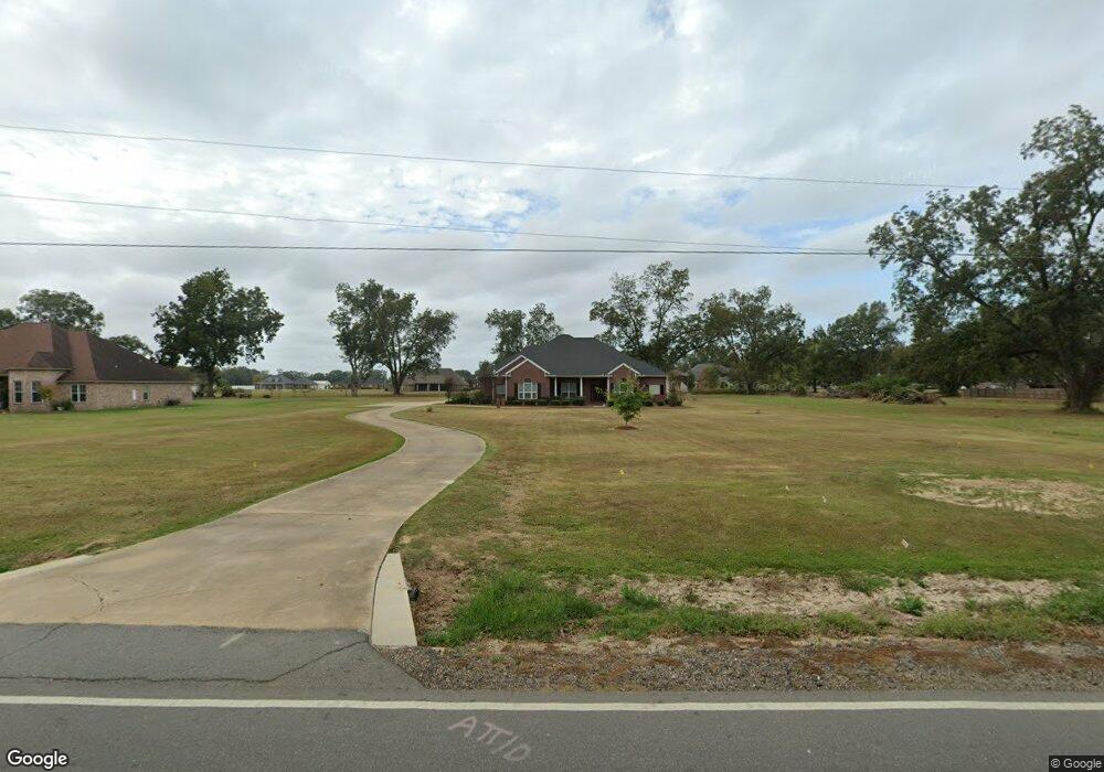
621 Stubbs Vinson Rd Monroe, LA 71203
Estimated Value: $386,000 - $495,000
4
Beds
4
Baths
3,476
Sq Ft
$131/Sq Ft
Est. Value
About This Home
This home is located at 621 Stubbs Vinson Rd, Monroe, LA 71203 and is currently estimated at $454,046, approximately $130 per square foot. 621 Stubbs Vinson Rd is a home located in Ouachita Parish with nearby schools including Swartz Lower Elementary School, Swartz Upper Elementary School, and Ouachita Junior High School.
Ownership History
Date
Name
Owned For
Owner Type
Purchase Details
Closed on
May 7, 2007
Sold by
Stubbs Pecanland Inc
Bought by
Drayton Kevin Darrell and Drayton Barbara Magnolia
Current Estimated Value
Home Financials for this Owner
Home Financials are based on the most recent Mortgage that was taken out on this home.
Original Mortgage
$31,722
Outstanding Balance
$19,253
Interest Rate
6.13%
Mortgage Type
Purchase Money Mortgage
Estimated Equity
$434,793
Create a Home Valuation Report for This Property
The Home Valuation Report is an in-depth analysis detailing your home's value as well as a comparison with similar homes in the area
Home Values in the Area
Average Home Value in this Area
Purchase History
| Date | Buyer | Sale Price | Title Company |
|---|---|---|---|
| Drayton Kevin Darrell | $33,750 | None Available |
Source: Public Records
Mortgage History
| Date | Status | Borrower | Loan Amount |
|---|---|---|---|
| Open | Drayton Kevin Darrell | $31,722 |
Source: Public Records
Tax History Compared to Growth
Tax History
| Year | Tax Paid | Tax Assessment Tax Assessment Total Assessment is a certain percentage of the fair market value that is determined by local assessors to be the total taxable value of land and additions on the property. | Land | Improvement |
|---|---|---|---|---|
| 2024 | $4,413 | $39,142 | $3,500 | $35,642 |
| 2023 | $4,413 | $35,408 | $3,500 | $31,908 |
| 2022 | $4,846 | $35,408 | $3,500 | $31,908 |
| 2021 | $4,885 | $35,408 | $3,500 | $31,908 |
| 2020 | $4,928 | $35,719 | $3,500 | $32,219 |
| 2019 | $4,361 | $32,056 | $3,500 | $28,556 |
| 2018 | $3,193 | $32,056 | $3,500 | $28,556 |
| 2017 | $4,271 | $32,056 | $3,500 | $28,556 |
| 2016 | $4,167 | $32,056 | $3,500 | $28,556 |
| 2015 | $3,188 | $32,056 | $3,500 | $28,556 |
| 2014 | $3,188 | $32,056 | $3,500 | $28,556 |
| 2013 | $3,180 | $32,056 | $3,500 | $28,556 |
Source: Public Records
Map
Nearby Homes
- 306 Taylor Dr
- 229 Eisenhower Dr
- 209 Harding Dr
- 1077 Stubbs Vinson Rd
- 158 Barbara Dr
- 1870 Highway 594
- 94 Nelson Rd
- 120 Donovan Cir
- 119 Daywood Dr
- 202 Daywood Dr
- 204 W Nelson Rd Unit 412 Allen, 413 n 23r
- 212 Wood Dr
- 719 Ed Edelen Rd
- 2210 Highway 594
- 2238 Highway 594
- 0 Braebend Dr
- 300 Timber Way
- 637 Rowland Rd
- 63 Forest Dr
- 03 Stubbs Vinson Rd
- 603 Stubbs Vinson Rd
- 668 Stubbs Vinson Rd
- 648 Stubbs Vinson Rd
- 734 Stubbs Vinson Rd
- 585 Stubbs Vinson Rd
- 657 Stubbs Vinson Rd
- 110 Kiowa St
- 688 Stubbs Vinson Rd
- 108 Kiowa St
- 114 Kiowa St
- 614 Stubbs Vinson Rd
- 116 Kiowa St
- 596 Stubbs Vinson Rd
- 693 Stubbs Vinson Rd
- 104 Kiowa St
- 104 Kiowa Ln
- 118 Kiowa Ln
- 118 Kiowa St
- 113 Kiowa Ln
- 111 Kiowa Ln