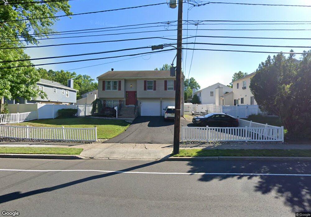
621 Terrill Rd Fanwood, NJ 07023
Estimated Value: $691,429 - $857,000
--
Bed
--
Bath
1,908
Sq Ft
$419/Sq Ft
Est. Value
About This Home
This home is located at 621 Terrill Rd, Fanwood, NJ 07023 and is currently estimated at $798,857, approximately $418 per square foot. 621 Terrill Rd is a home located in Union County with nearby schools including J. Ackerman Coles Elementary School, Terrill Middle School, and Scotch Plains-Fanwood High School.
Ownership History
Date
Name
Owned For
Owner Type
Purchase Details
Closed on
Nov 27, 2001
Sold by
Pizzolato Elsie and Pizzolato Phillip A
Bought by
Pizzolato Elsie
Current Estimated Value
Home Financials for this Owner
Home Financials are based on the most recent Mortgage that was taken out on this home.
Original Mortgage
$212,000
Outstanding Balance
$83,454
Interest Rate
6.67%
Mortgage Type
Stand Alone First
Estimated Equity
$715,403
Purchase Details
Closed on
Mar 31, 1998
Sold by
Trinidad Elsie
Bought by
Pizzolato Phillip A and Pizzolato Elsie
Home Financials for this Owner
Home Financials are based on the most recent Mortgage that was taken out on this home.
Original Mortgage
$179,775
Interest Rate
11.98%
Create a Home Valuation Report for This Property
The Home Valuation Report is an in-depth analysis detailing your home's value as well as a comparison with similar homes in the area
Home Values in the Area
Average Home Value in this Area
Purchase History
| Date | Buyer | Sale Price | Title Company |
|---|---|---|---|
| Pizzolato Elsie | -- | -- | |
| Pizzolato Phillip A | -- | First American Title Ins Co |
Source: Public Records
Mortgage History
| Date | Status | Borrower | Loan Amount |
|---|---|---|---|
| Open | Pizzolato Elsie | $212,000 | |
| Closed | Pizzolato Phillip A | $179,775 |
Source: Public Records
Tax History Compared to Growth
Tax History
| Year | Tax Paid | Tax Assessment Tax Assessment Total Assessment is a certain percentage of the fair market value that is determined by local assessors to be the total taxable value of land and additions on the property. | Land | Improvement |
|---|---|---|---|---|
| 2025 | $12,412 | $422,600 | $193,500 | $229,100 |
| 2024 | $12,019 | $422,600 | $193,500 | $229,100 |
| 2023 | $12,019 | $422,600 | $193,500 | $229,100 |
| 2022 | $11,862 | $422,600 | $193,500 | $229,100 |
| 2021 | $11,744 | $422,600 | $193,500 | $229,100 |
| 2020 | $11,398 | $422,600 | $193,500 | $229,100 |
| 2019 | $12,599 | $86,000 | $28,900 | $57,100 |
| 2018 | $12,505 | $86,000 | $28,900 | $57,100 |
| 2017 | $12,248 | $86,000 | $28,900 | $57,100 |
| 2016 | $11,880 | $86,000 | $28,900 | $57,100 |
| 2015 | $11,388 | $86,000 | $28,900 | $57,100 |
| 2014 | $11,263 | $86,000 | $28,900 | $57,100 |
Source: Public Records
Map
Nearby Homes
- 32 Gere Place
- 939-45 Post Dr
- 481 Terrill Rd
- 5 Robin Rd
- 15 La Grande Ave
- 187 King St
- 848 Adam Cir
- 120 S Martine Ave
- 36 2nd St
- 1158 Woodmere Place
- 193 South Ave
- 810 Leland Ave Unit 14
- 351 Terrill Rd
- 1224 Sunnyfield Ln
- 842 Berkeley Ave
- 19 Highlander Dr
- 1232 Sunnyfield Ln
- 1380 Terrill Rd
- 40 1st St
- 71 Willoughby Rd