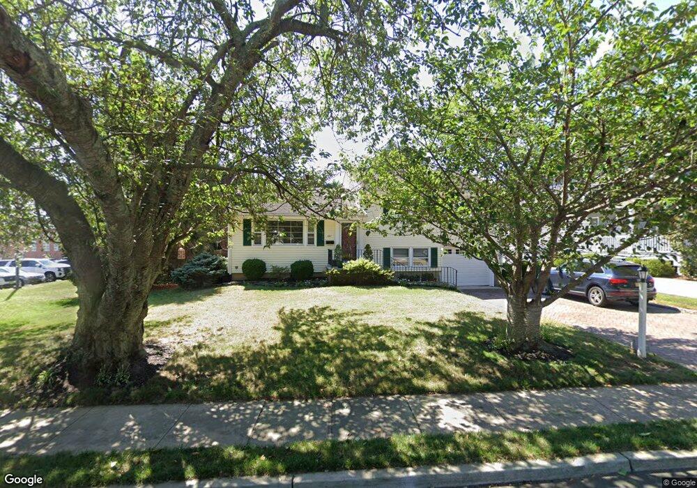
621 Union Ln Brielle, NJ 08730
Estimated Value: $803,000 - $909,003
3
Beds
2
Baths
1,456
Sq Ft
$593/Sq Ft
Est. Value
About This Home
This home is located at 621 Union Ln, Brielle, NJ 08730 and is currently estimated at $864,001, approximately $593 per square foot. 621 Union Ln is a home located in Monmouth County with nearby schools including Brielle Elementary School and St. Peter School.
Ownership History
Date
Name
Owned For
Owner Type
Purchase Details
Closed on
May 26, 1999
Sold by
Nielsen Mary
Bought by
Polesky George and Polesky Kathleen
Current Estimated Value
Home Financials for this Owner
Home Financials are based on the most recent Mortgage that was taken out on this home.
Original Mortgage
$161,900
Interest Rate
7.49%
Create a Home Valuation Report for This Property
The Home Valuation Report is an in-depth analysis detailing your home's value as well as a comparison with similar homes in the area
Home Values in the Area
Average Home Value in this Area
Purchase History
| Date | Buyer | Sale Price | Title Company |
|---|---|---|---|
| Polesky George | $179,900 | -- |
Source: Public Records
Mortgage History
| Date | Status | Borrower | Loan Amount |
|---|---|---|---|
| Previous Owner | Polesky George | $161,900 |
Source: Public Records
Tax History Compared to Growth
Tax History
| Year | Tax Paid | Tax Assessment Tax Assessment Total Assessment is a certain percentage of the fair market value that is determined by local assessors to be the total taxable value of land and additions on the property. | Land | Improvement |
|---|---|---|---|---|
| 2025 | $7,354 | $650,000 | $461,300 | $188,700 |
| 2024 | $7,614 | $592,600 | $390,500 | $202,100 |
| 2023 | $7,614 | $592,500 | $395,200 | $197,300 |
| 2022 | $6,167 | $511,900 | $324,000 | $187,900 |
| 2021 | $6,167 | $402,300 | $257,500 | $144,800 |
| 2020 | $6,533 | $399,100 | $257,500 | $141,600 |
| 2019 | $6,423 | $398,200 | $257,500 | $140,700 |
| 2018 | $6,724 | $411,500 | $267,000 | $144,500 |
| 2017 | $6,497 | $392,800 | $252,700 | $140,100 |
| 2016 | $6,427 | $389,300 | $252,700 | $136,600 |
| 2015 | $6,371 | $383,100 | $252,700 | $130,400 |
| 2014 | $5,699 | $365,800 | $240,300 | $125,500 |
Source: Public Records
Map
Nearby Homes
- 308 South St
- 642 Rankin Rd
- 300 Union Ave
- 619 Park Ave
- 542 Woodland Ave
- 14 Lebanon Dr
- 816 Rathjen Rd
- 203 Lenape Trail
- 610 Agnes Ave
- 508 Harris Ave
- 806 Riverview Dr
- 1307 W Union Ln Unit A4
- 1210 Bayberry Rd
- 20 Maple Ln Unit D
- 846 William Dr
- 41 Poplar Ct Unit C
- 507 Magnolia Ave
- 323-325 Fisk Ave
- Kensington Plan at The Monmouth - The Villas 55+
- 142 Oval Rd