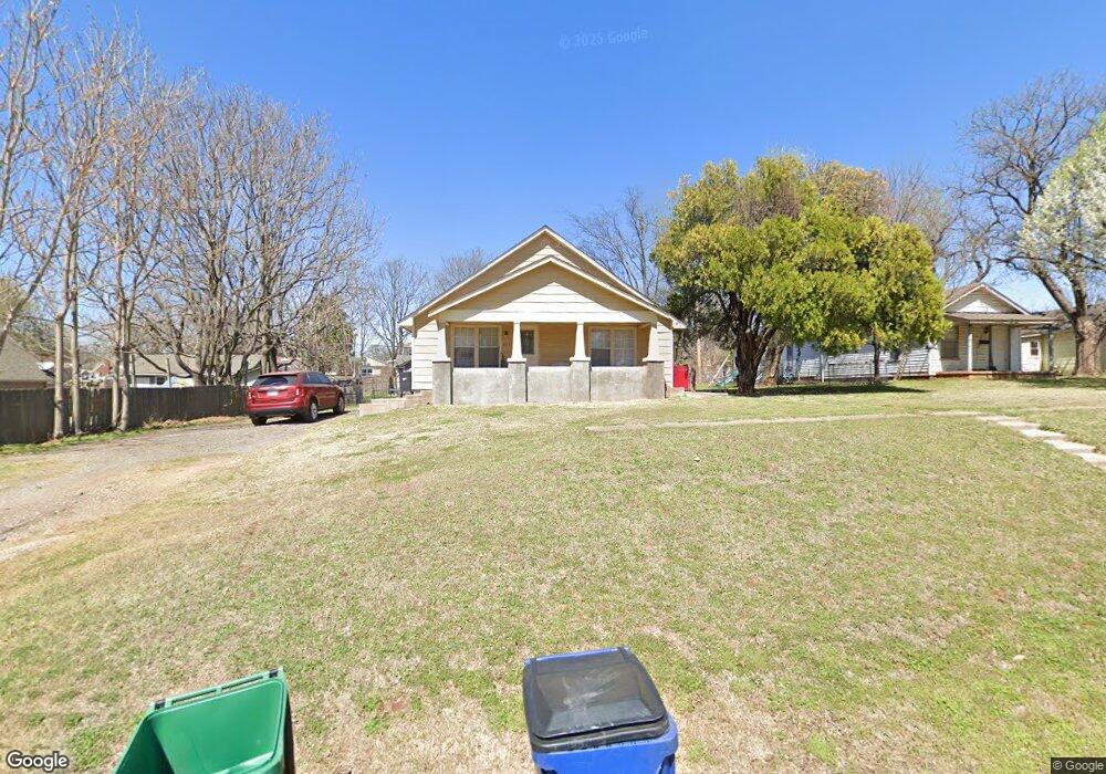
621 W Apache St Purcell, OK 73080
Estimated Value: $162,000 - $360,000
3
Beds
2
Baths
1,408
Sq Ft
$170/Sq Ft
Est. Value
About This Home
This home is located at 621 W Apache St, Purcell, OK 73080 and is currently estimated at $239,168, approximately $169 per square foot. 621 W Apache St is a home located in McClain County with nearby schools including Purcell Elementary School, Purcell Intermediate School, and Purcell Junior High School.
Ownership History
Date
Name
Owned For
Owner Type
Purchase Details
Closed on
Dec 13, 2016
Sold by
Huaman Juan Simon and Huaman Cynthia
Bought by
Suri Properties Llc
Current Estimated Value
Purchase Details
Closed on
Feb 18, 2008
Sold by
Lasalle Bank Na
Bought by
Hauman Juan Simion and Hauman Cynthia
Purchase Details
Closed on
Aug 24, 2004
Sold by
Cavnar Thomas and Cavnar Carolyn
Bought by
Maxey Tommy A
Create a Home Valuation Report for This Property
The Home Valuation Report is an in-depth analysis detailing your home's value as well as a comparison with similar homes in the area
Home Values in the Area
Average Home Value in this Area
Purchase History
| Date | Buyer | Sale Price | Title Company |
|---|---|---|---|
| Suri Properties Llc | -- | None Available | |
| Hauman Juan Simion | $15,000 | Oklahoma Reo Closing & Title | |
| Maxey Tommy A | $62,000 | -- | |
| Cavnar Thomas | $40,000 | -- |
Source: Public Records
Tax History
| Year | Tax Paid | Tax Assessment Tax Assessment Total Assessment is a certain percentage of the fair market value that is determined by local assessors to be the total taxable value of land and additions on the property. | Land | Improvement |
|---|---|---|---|---|
| 2025 | $1,196 | $11,010 | $1,462 | $9,548 |
| 2024 | $1,139 | $10,485 | $1,392 | $9,093 |
| 2023 | $1,139 | $9,986 | $1,384 | $8,602 |
| 2022 | $1,021 | $9,511 | $1,375 | $8,136 |
| 2021 | $984 | $9,058 | $1,375 | $7,683 |
| 2020 | $929 | $8,627 | $1,375 | $7,252 |
| 2019 | $901 | $8,216 | $1,375 | $6,841 |
| 2018 | $850 | $7,825 | $1,375 | $6,450 |
| 2017 | $791 | $7,452 | $1,375 | $6,077 |
| 2016 | $845 | $7,862 | $880 | $6,982 |
| 2015 | $848 | $7,767 | $880 | $6,887 |
| 2014 | $813 | $7,521 | $848 | $6,673 |
Source: Public Records
Map
Nearby Homes
- 24915 Norte Rd
- 523 W Main St
- 528 W Brule St
- 0 State Highway 74
- 229 N 6th Ave
- 504 W Adams St
- 24864 Norte Rd
- 324 W Comanche St
- 819 W Adams St
- 230 W Adams St
- 206 W Brule St
- 430 N 8th Ave
- 407 Truman Place
- 529 S 2nd Ave
- 517 Bob White Dr
- 922 Blue Bird Terrace
- 204 S Canadian Ave
- 825 S 3rd Ave
- 621 N 2nd Ave
- 0000 Jackson St
Your Personal Tour Guide
Ask me questions while you tour the home.