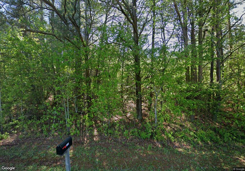
6210 Jett Rd Dawsonville, GA 30534
Lake Lanier NeighborhoodEstimated Value: $347,498 - $426,000
3
Beds
3
Baths
1,692
Sq Ft
$227/Sq Ft
Est. Value
About This Home
This home is located at 6210 Jett Rd, Dawsonville, GA 30534 and is currently estimated at $384,125, approximately $227 per square foot. 6210 Jett Rd is a home located in Forsyth County with nearby schools including Chestatee Elementary School and North Forsyth Middle School.
Ownership History
Date
Name
Owned For
Owner Type
Purchase Details
Closed on
Oct 28, 2022
Sold by
Willis Gary A
Bought by
Pearson David
Current Estimated Value
Purchase Details
Closed on
Dec 23, 2009
Sold by
Tayor Falls Properties Llc
Bought by
Willis Gary A and Willis Thomas E
Purchase Details
Closed on
Dec 31, 2006
Sold by
Samples C E and Samples Kathleen H
Bought by
Samples C E and Samples Kathleen
Purchase Details
Closed on
Jul 1, 1999
Sold by
Thompson Susan
Bought by
Willis Gary A and Willis Thomas E
Home Financials for this Owner
Home Financials are based on the most recent Mortgage that was taken out on this home.
Original Mortgage
$162,000
Interest Rate
7.66%
Mortgage Type
New Conventional
Purchase Details
Closed on
Feb 8, 1996
Sold by
Thompson Susan
Bought by
Stough Diane
Create a Home Valuation Report for This Property
The Home Valuation Report is an in-depth analysis detailing your home's value as well as a comparison with similar homes in the area
Home Values in the Area
Average Home Value in this Area
Purchase History
| Date | Buyer | Sale Price | Title Company |
|---|---|---|---|
| Pearson David | $20,000 | -- | |
| Willis Gary A | -- | -- | |
| Samples C E | -- | -- | |
| Willis Gary A | $43,000 | -- | |
| Stough Diane | $16,000 | -- |
Source: Public Records
Mortgage History
| Date | Status | Borrower | Loan Amount |
|---|---|---|---|
| Previous Owner | Willis Gary A | $162,000 | |
| Closed | Stough Diane | $0 |
Source: Public Records
Tax History Compared to Growth
Tax History
| Year | Tax Paid | Tax Assessment Tax Assessment Total Assessment is a certain percentage of the fair market value that is determined by local assessors to be the total taxable value of land and additions on the property. | Land | Improvement |
|---|---|---|---|---|
| 2025 | $3,028 | $126,720 | $42,000 | $84,720 |
| 2024 | $3,028 | $123,480 | $42,000 | $81,480 |
| 2023 | $2,957 | $120,120 | $42,000 | $78,120 |
| 2022 | $2,458 | $73,120 | $18,000 | $55,120 |
| 2021 | $2,019 | $73,120 | $18,000 | $55,120 |
| 2020 | $1,955 | $70,800 | $18,000 | $52,800 |
| 2019 | $1,728 | $62,480 | $10,000 | $52,480 |
| 2018 | $213 | $48,040 | $10,000 | $38,040 |
| 2017 | $1,271 | $45,800 | $10,000 | $35,800 |
| 2016 | $1,271 | $45,800 | $10,000 | $35,800 |
| 2015 | $1,273 | $45,800 | $10,000 | $35,800 |
| 2014 | $1,138 | $43,000 | $0 | $0 |
Source: Public Records
Map
Nearby Homes
- 5725 Jot Em Down Rd
- 5 Cantrell Rd
- 4 Cantrell Rd
- 3 Cantrell Rd
- 2 Cantrell Rd
- 1 Cantrell Rd
- 5925 Whitney Ct
- 6785 Anderson Lake Rd
- 5935 Whitney Ct
- 6750 Dawg Ridge
- 7175 Anderson Lake Rd
- 5250 Kendalls Way
- 6370 Stillwood Ln
- 0 Pea Ridge Rd (Tract2a)
- 0 Pea Ridge Rd Unit (TRACT 2B) 10599466
- 0 Pea Ridge Rd Unit 7641431
- 0 Pea Ridge Rd Unit 7641430
- 0 Pea Ridge Rd Unit 10433447
- 6745 Payton Rd
- 5645 Mountain Top Place
- 6214 Jett Rd
- 6212 Jett Rd
- 6220 Jett Rd
- 6216 Jett Rd
- 6240 Jett Rd
- 6170 Jett Rd
- 6175 Jett Rd
- 6140 Jett Rd
- 6109 Jett Rd
- 6120 Jett Rd
- 0 Jett Rd Unit 8784388
- 0 Jett Rd Unit 8706049
- 0 Jett Rd Unit 8268220
- 0 Jett Rd
- 0 Jett Rd Unit 7588570
- 0 Jett Rd Unit 8610163
- 0 Jett Rd Unit 8581159
- 6135 Jett Rd
- 6185 Jett Rd
- 6285 Jett Rd
