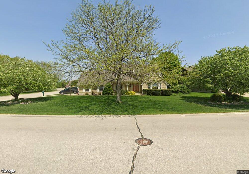
6210 Pheasant Creek Trail Mount Pleasant, WI 53406
Estimated Value: $471,000 - $532,000
3
Beds
3
Baths
2,010
Sq Ft
$249/Sq Ft
Est. Value
About This Home
This home is located at 6210 Pheasant Creek Trail, Mount Pleasant, WI 53406 and is currently estimated at $501,120, approximately $249 per square foot. 6210 Pheasant Creek Trail is a home located in Racine County with nearby schools including West Ridge Elementary School, Mitchell Middle School, and Case High School.
Ownership History
Date
Name
Owned For
Owner Type
Purchase Details
Closed on
Sep 21, 2006
Sold by
Schaefer Paul A and Schaefer Colleen M
Bought by
Hansen Dennis R and Hansen Jacqueline S
Current Estimated Value
Home Financials for this Owner
Home Financials are based on the most recent Mortgage that was taken out on this home.
Original Mortgage
$135,000
Outstanding Balance
$80,275
Interest Rate
6.49%
Mortgage Type
New Conventional
Estimated Equity
$420,845
Create a Home Valuation Report for This Property
The Home Valuation Report is an in-depth analysis detailing your home's value as well as a comparison with similar homes in the area
Home Values in the Area
Average Home Value in this Area
Purchase History
| Date | Buyer | Sale Price | Title Company |
|---|---|---|---|
| Hansen Dennis R | $275,000 | -- |
Source: Public Records
Mortgage History
| Date | Status | Borrower | Loan Amount |
|---|---|---|---|
| Open | Hansen Dennis R | $135,000 |
Source: Public Records
Tax History Compared to Growth
Tax History
| Year | Tax Paid | Tax Assessment Tax Assessment Total Assessment is a certain percentage of the fair market value that is determined by local assessors to be the total taxable value of land and additions on the property. | Land | Improvement |
|---|---|---|---|---|
| 2024 | $6,215 | $397,800 | $79,400 | $318,400 |
| 2023 | $5,886 | $367,000 | $74,200 | $292,800 |
| 2022 | $5,180 | $320,500 | $74,200 | $246,300 |
| 2021 | $5,297 | $292,400 | $67,500 | $224,900 |
| 2020 | $5,368 | $285,800 | $53,000 | $232,800 |
| 2019 | $5,121 | $285,800 | $53,000 | $232,800 |
| 2018 | $5,046 | $261,300 | $46,700 | $214,600 |
| 2017 | $4,714 | $240,100 | $46,700 | $193,400 |
| 2016 | $4,563 | $219,400 | $37,400 | $182,000 |
| 2015 | $4,522 | $219,400 | $37,400 | $182,000 |
| 2014 | $4,271 | $219,400 | $37,400 | $182,000 |
| 2013 | $4,525 | $219,400 | $37,400 | $182,000 |
Source: Public Records
Map
Nearby Homes
- 38 S Emmertsen Rd
- 6236 Bald Eagle Rd
- 353 Quail Point Dr
- 6343 Ptarmigan Rd
- 6300 Bald Eagle Rd
- Cedar Point Plan at Christina Estates
- 5740 Woodland Hills Dr
- 215 Emerald Dr
- 6352 Kelsey Ct
- 5700 Woodland Hills Dr
- 6355 Kingsview Dr
- 1117 N Sunnyslope Dr Unit 204
- 586 Calvin Ln
- 1231 N Sunnyslope Dr Unit 205
- 6121 Spring St
- 6532 Kingsview Dr
- 1315 N Sunnyslope Dr Unit 202
- 1208 N Sunnyslope Dr Unit 202
- 6342 Kinzie Ave
- 6510 Spring St Unit 17
- 6204 Pheasant Creek Trail
- 221 Blue Heron Cir
- 230 Blue Heron Cir
- 6211 Pheasant Creek Trail
- 6217 Pheasant Creek Trail
- 6223 Pheasant Creek Trail
- 6205 Pheasant Creek Trail
- 201 Blue Heron Cir
- 220 Blue Heron Cir
- 235 S Emmertsen Rd
- 210 Blue Heron Cir
- 231 Mourning Dove Ln
- 205 S Emmertsen Rd
- 6229 Pheasant Creek Trail
- 221 Mourning Dove Ln
- 148 S Emmertsen Rd
- 211 Mourning Dove Ln
- 155 S Emmertsen Rd
- 6235 Pheasant Creek Trail
- 147 S Emmertsen Rd