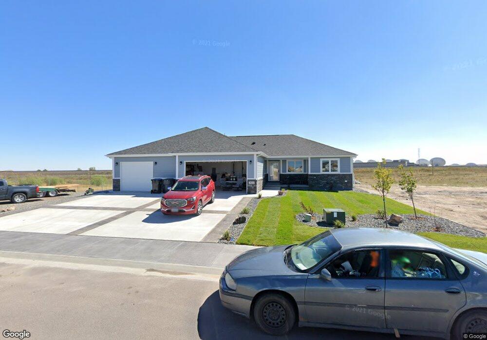
6211 Atlantic Dr Cheyenne, WY 82001
Estimated Value: $485,000 - $605,539
--
Bed
--
Bath
1,395
Sq Ft
$381/Sq Ft
Est. Value
About This Home
This home is located at 6211 Atlantic Dr, Cheyenne, WY 82001 and is currently estimated at $531,885, approximately $381 per square foot. 6211 Atlantic Dr is a home with nearby schools including Sunrise Elementary School, Johnson Junior High School, and South High School.
Ownership History
Date
Name
Owned For
Owner Type
Purchase Details
Closed on
May 29, 2025
Sold by
Hozian Sandy
Bought by
Hozian Edward
Current Estimated Value
Purchase Details
Closed on
Sep 27, 2021
Sold by
Hess Construction
Bought by
Hozian Edward and Hozian Sandy
Home Financials for this Owner
Home Financials are based on the most recent Mortgage that was taken out on this home.
Original Mortgage
$237,168
Interest Rate
2.1%
Mortgage Type
VA
Purchase Details
Closed on
Jan 22, 2021
Sold by
Hozian Edward and Hozian Sandy
Bought by
Hozian Edward and Hozian Sandy
Purchase Details
Closed on
Jan 14, 2021
Sold by
Hess Development Llc
Bought by
Hozian Edward and Hozian Sandy
Create a Home Valuation Report for This Property
The Home Valuation Report is an in-depth analysis detailing your home's value as well as a comparison with similar homes in the area
Home Values in the Area
Average Home Value in this Area
Purchase History
| Date | Buyer | Sale Price | Title Company |
|---|---|---|---|
| Hozian Edward | -- | None Listed On Document | |
| Hozian Edward | -- | None Listed On Document | |
| Hozian Edward | -- | None Available | |
| Hozian Edward | -- | None Listed On Document | |
| Hozian Edward | -- | None Available | |
| Hozian Edward | -- | None Available | |
| Hozian Edward | -- | None Listed On Document |
Source: Public Records
Mortgage History
| Date | Status | Borrower | Loan Amount |
|---|---|---|---|
| Previous Owner | Hozian Edward | $237,168 |
Source: Public Records
Tax History Compared to Growth
Tax History
| Year | Tax Paid | Tax Assessment Tax Assessment Total Assessment is a certain percentage of the fair market value that is determined by local assessors to be the total taxable value of land and additions on the property. | Land | Improvement |
|---|---|---|---|---|
| 2025 | $3,901 | $47,715 | $6,300 | $41,415 |
| 2024 | $3,901 | $61,168 | $8,400 | $52,768 |
| 2023 | $3,853 | $60,494 | $8,400 | $52,094 |
| 2022 | $3,571 | $55,472 | $7,136 | $48,336 |
| 2021 | $155 | $2,144 | $2,144 | $0 |
| 2020 | $208 | $2,890 | $2,890 | $0 |
| 2019 | $262 | $3,625 | $3,625 | $0 |
| 2018 | $263 | $3,678 | $3,678 | $0 |
| 2017 | $186 | $2,584 | $2,584 | $0 |
| 2016 | $98 | $1,357 | $1,357 | $0 |
Source: Public Records
Map
Nearby Homes
- 6201 Atlantic Dr
- 6119 Atlantic Dr
- 6111 Atlantic Dr
- 6031 Atlantic Dr
- 1511 Gettysburg Dr
- 5724 Parkside Dr
- 800 Everglade Dr
- 5816 Parkside Dr
- 1720 Maroon Dr
- 1921 Gettysburg Dr
- 5016 Phoenix Dr
- 5001 Phoenix Dr
- 4949 Atlantic Dr
- TBD Taft Ave
- 4811 E 14th St
- 828 Sun Valley Dr
- 4802 E 13th St
- Lot 10 Raleigh Dr
- Lot 11 Raleigh Dr
- Lot 12 Raleigh Dr
- 6207 Atlantic Dr
- 6210 Atlantic Dr
- 6214 Atlantic Dr
- Block 4, L E Atlantic Dr
- Block 4, Lot 16 Atlantic Dr
- 6206 Atlantic Dr
- Block 4, Lot 9 E Hess Dr
- 6202 Atlantic Dr
- Block 2, Lot 4 E Phipps Ave
- Block 2, Lot 4 E Phipp's Dr
- Block 2, Lot 7 E Phipps Ave
- Block 2, Lot 7 E Phipp's Dr
- 1103 Hess Ave
- Block 4, Lot 17 Atlantic Dr
- 902 Phipps Ave
- Block 2, Lot 6 E Phipps Ave
- Block 2, Lot 6 E Phipp's Dr
- 910 Phipps Ave
- 910 Phipps Ave
- 6109 Atlantic Dr