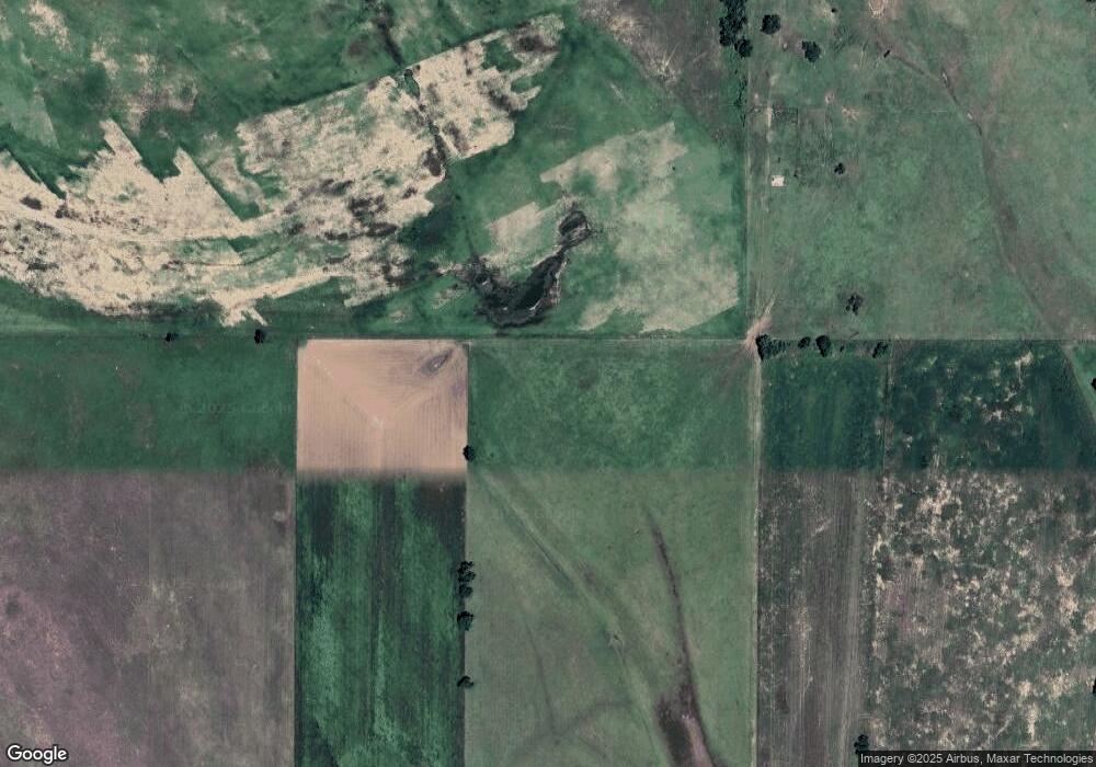
6211 Foreman Rd E El Reno, OK 73036
Estimated Value: $239,000 - $281,000
3
Beds
3
Baths
1,884
Sq Ft
$137/Sq Ft
Est. Value
About This Home
This home is located at 6211 Foreman Rd E, El Reno, OK 73036 and is currently estimated at $257,431, approximately $136 per square foot. 6211 Foreman Rd E is a home located in Canadian County.
Ownership History
Date
Name
Owned For
Owner Type
Purchase Details
Closed on
May 12, 2023
Sold by
Cole Kecia K
Bought by
Cole Regan Wade and Cooksey-Cole Kecia
Current Estimated Value
Purchase Details
Closed on
Sep 26, 2002
Sold by
Lindsay H Ray
Home Financials for this Owner
Home Financials are based on the most recent Mortgage that was taken out on this home.
Original Mortgage
$84,000
Interest Rate
6.26%
Purchase Details
Closed on
Jun 5, 1995
Sold by
Pullan Larry N
Create a Home Valuation Report for This Property
The Home Valuation Report is an in-depth analysis detailing your home's value as well as a comparison with similar homes in the area
Home Values in the Area
Average Home Value in this Area
Purchase History
| Date | Buyer | Sale Price | Title Company |
|---|---|---|---|
| Cole Regan Wade | -- | None Listed On Document | |
| -- | $105,000 | -- | |
| -- | $80,000 | -- |
Source: Public Records
Mortgage History
| Date | Status | Borrower | Loan Amount |
|---|---|---|---|
| Previous Owner | -- | $84,000 |
Source: Public Records
Tax History Compared to Growth
Tax History
| Year | Tax Paid | Tax Assessment Tax Assessment Total Assessment is a certain percentage of the fair market value that is determined by local assessors to be the total taxable value of land and additions on the property. | Land | Improvement |
|---|---|---|---|---|
| 2024 | $1,386 | $19,865 | $1,176 | $18,689 |
| 2023 | $1,386 | $18,920 | $1,152 | $17,768 |
| 2022 | $1,322 | $18,019 | $1,152 | $16,867 |
| 2021 | $1,260 | $17,161 | $1,152 | $16,009 |
| 2020 | $1,200 | $16,344 | $1,152 | $15,192 |
| 2019 | $1,086 | $14,784 | $1,152 | $13,632 |
| 2018 | $1,036 | $14,080 | $1,152 | $12,928 |
| 2017 | $987 | $13,409 | $1,152 | $12,257 |
| 2016 | $942 | $13,409 | $1,152 | $12,257 |
| 2015 | -- | $12,094 | $1,152 | $10,942 |
| 2014 | -- | $11,518 | $1,152 | $10,366 |
Source: Public Records
Map
Nearby Homes
- 0 S Radio Rd Unit 781180
- 2520 N Manning Rd
- 8248 Bluestem Trail
- 1223 Land Run Way
- Olympia Plan at Manning Farms
- Trenton Plan at Manning Farms
- Richmond Plan at Manning Farms
- Phoenix Plan at Manning Farms
- Lincoln Plan at Manning Farms
- Hartford Plan at Manning Farms
- Bismarck Plan at Manning Farms
- 5602 E Highway 66
- 8229 Bluestem Trail
- 8218 Bluestem Trail
- 16751 W Wilshire Blvd
- 16925 W Wilshire Blvd
- 3550 N Manning Rd
- 8960 N Banner Rd
- 3501 Manning Farms Blvd
- 0 090149004 Unit 1147019
- 6211 Foreman Rd E
- 6211 Foreman Rd E
- 6511 Foreman Rd E
- 6507 Foreman Rd E
- 6503 Foreman Rd E
- 80 80 Acres Foreman Rd
- 0 80 Acres Foreman Rd
- 6512 Foreman Rd E
- 5632 Foreman Rd E
- 503 S Evans Rd
- 5108 Foreman Rd E
- 7500 Foreman Rd E
- 5002 Foreman Rd E
- 4926 Foreman Rd E
- 4926 Foreman Rd E
- 212 E Foreman Dr
- 0 N Radio Rd
- 0 SW 15th & Manning Rd Rd Unit 1068182
- 681 S Radio Rd
