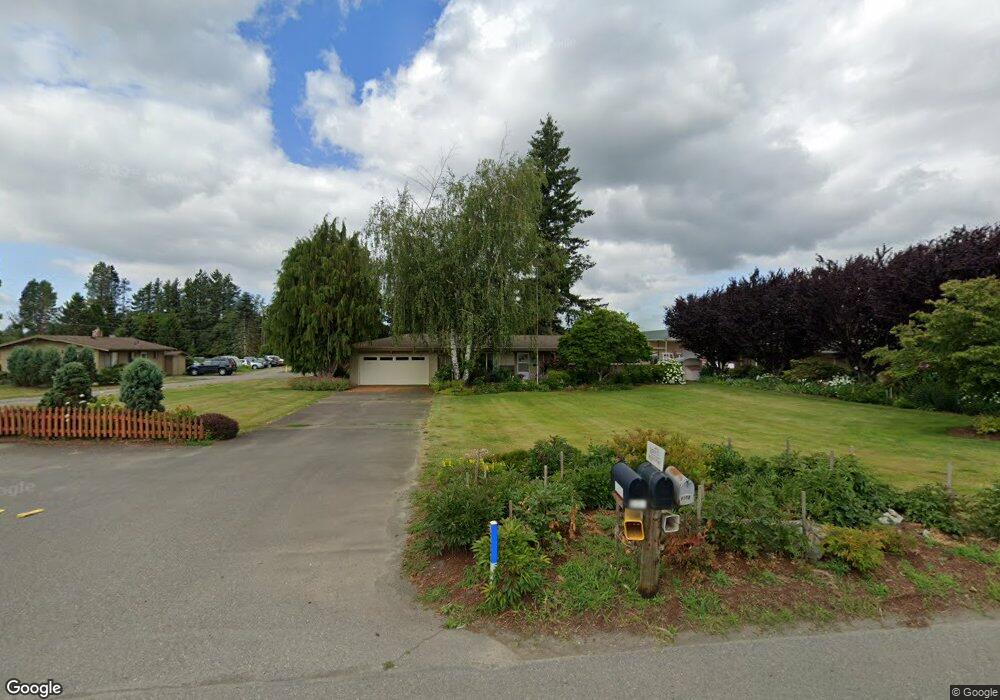
6211 Northwest Dr Ferndale, WA 98248
Estimated Value: $1,585,134
3
Beds
3
Baths
1,500
Sq Ft
$1,057/Sq Ft
Est. Value
About This Home
This home is located at 6211 Northwest Dr, Ferndale, WA 98248 and is currently estimated at $1,585,134, approximately $1,056 per square foot. 6211 Northwest Dr is a home located in Whatcom County with nearby schools including Cascadia Elementary School, Vista Middle School, and Ferndale High School.
Ownership History
Date
Name
Owned For
Owner Type
Purchase Details
Closed on
Sep 25, 2025
Sold by
Mike Boxx Land Holdings Llc
Bought by
Port Of Bellingham
Current Estimated Value
Purchase Details
Closed on
Sep 28, 2022
Sold by
Boxx Brothers Llc
Bought by
Mike Boxx Land Holdings Llc
Home Financials for this Owner
Home Financials are based on the most recent Mortgage that was taken out on this home.
Original Mortgage
$1,425,000
Interest Rate
5.89%
Mortgage Type
New Conventional
Create a Home Valuation Report for This Property
The Home Valuation Report is an in-depth analysis detailing your home's value as well as a comparison with similar homes in the area
Home Values in the Area
Average Home Value in this Area
Purchase History
| Date | Buyer | Sale Price | Title Company |
|---|---|---|---|
| Port Of Bellingham | $3,390,893 | Whatcom Land Title | |
| Mike Boxx Land Holdings Llc | -- | Whatcom Land Title |
Source: Public Records
Mortgage History
| Date | Status | Borrower | Loan Amount |
|---|---|---|---|
| Previous Owner | Mike Boxx Land Holdings Llc | $1,425,000 |
Source: Public Records
Tax History Compared to Growth
Tax History
| Year | Tax Paid | Tax Assessment Tax Assessment Total Assessment is a certain percentage of the fair market value that is determined by local assessors to be the total taxable value of land and additions on the property. | Land | Improvement |
|---|---|---|---|---|
| 2024 | $5,427 | $1,289,136 | $577,300 | $711,836 |
| 2023 | $5,427 | $1,227,748 | $549,809 | $677,939 |
| 2022 | $4,277 | $627,618 | $229,280 | $398,338 |
| 2021 | $4,590 | $626,188 | $227,850 | $398,338 |
| 2020 | $5,061 | $413,338 | $15,000 | $398,338 |
| 2019 | $4,440 | $626,188 | $227,850 | $398,338 |
| 2018 | $5,399 | $413,338 | $15,000 | $398,338 |
| 2017 | $5,057 | $383,539 | $15,000 | $368,539 |
| 2016 | $4,449 | $383,588 | $15,765 | $367,823 |
| 2015 | $4,270 | $332,058 | $15,765 | $316,293 |
| 2014 | -- | $344,342 | $46,858 | $297,484 |
| 2013 | -- | $335,288 | $44,124 | $291,164 |
Source: Public Records
Map
Nearby Homes
- 1125 Lattimore Rd
- 1257 Lattimore Rd
- 5925 Longdin Rd
- 6255 Aldrich Rd
- 5985 Aldrich Rd
- 1300 W Axton Rd
- 0 W Axton Rd
- 1245 W Axton Rd
- 6206 Gadwa Rd
- 1142 Deer Creek Ln
- 1371 W Axton Rd
- 490 W Laurel Rd
- 1814 Newkirk Rd
- 5502 Northwest Dr
- 1825 Eastgate Loop
- 6350 Portal Way Unit 48
- 6350 Portal Way Unit 83
- 6350 Portal Way Unit 64
- 6350 Portal Way Unit 20
- 6350 Portal Way Unit 10
- 6254 Northwest Dr
- 6191 N Star Rd
- 1069 Piper Rd
- 6295 Northstar Rd
- 6173 N Star Rd
- 6301 Northwest Dr
- 6319 Northwest Dr
- 1078 Piper Rd
- 6131 Northwest Dr
- 1094 Piper Rd
- 6171 N Star Rd
- 6321 Northwest Dr
- 1051 Piper Rd
- 1207 Lattimore Rd
- 6360 Northwest Dr
- 6059 Northwest Dr
- 1135 Lattimore Rd
- 1201 Lattimore Rd
- 6057 Northwest Dr
- 6054 Northwest Dr