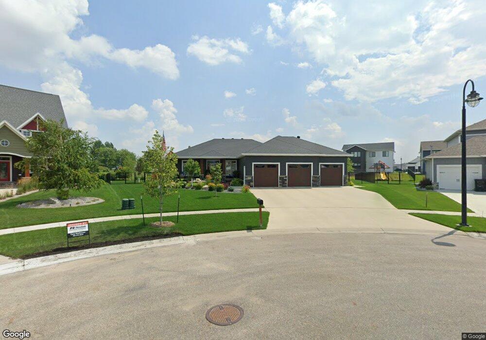
6212 Cattail Cove S Fargo, ND 58104
Osgood NeighborhoodEstimated Value: $845,000 - $1,032,676
--
Bed
--
Bath
--
Sq Ft
0.45
Acres
About This Home
This home is located at 6212 Cattail Cove S, Fargo, ND 58104 and is currently estimated at $930,225. 6212 Cattail Cove S is a home with nearby schools including Liberty Middle School, West Fargo Sheyenne High School, and Trinity Elementary School.
Ownership History
Date
Name
Owned For
Owner Type
Purchase Details
Closed on
Dec 15, 2017
Sold by
Plecity Kowalski Construction Inc
Bought by
Anderson Ronald M and Anderson Daryls V
Current Estimated Value
Home Financials for this Owner
Home Financials are based on the most recent Mortgage that was taken out on this home.
Original Mortgage
$508,840
Outstanding Balance
$428,399
Interest Rate
3.94%
Mortgage Type
New Conventional
Estimated Equity
$501,826
Purchase Details
Closed on
Jul 10, 2017
Sold by
Jetland Properties Llc
Bought by
Plecity Kowalski Construction Inc
Create a Home Valuation Report for This Property
The Home Valuation Report is an in-depth analysis detailing your home's value as well as a comparison with similar homes in the area
Home Values in the Area
Average Home Value in this Area
Purchase History
| Date | Buyer | Sale Price | Title Company |
|---|---|---|---|
| Anderson Ronald M | $636,059 | Title Co | |
| Plecity Kowalski Construction Inc | $94,900 | Title Co | |
| Jetland Properties Llc | -- | Title Co |
Source: Public Records
Mortgage History
| Date | Status | Borrower | Loan Amount |
|---|---|---|---|
| Open | Anderson Ronald M | $508,840 |
Source: Public Records
Tax History Compared to Growth
Tax History
| Year | Tax Paid | Tax Assessment Tax Assessment Total Assessment is a certain percentage of the fair market value that is determined by local assessors to be the total taxable value of land and additions on the property. | Land | Improvement |
|---|---|---|---|---|
| 2024 | $12,249 | $355,550 | $73,200 | $282,350 |
| 2023 | $11,745 | $336,950 | $69,800 | $267,150 |
| 2022 | $12,052 | $336,950 | $69,800 | $267,150 |
| 2021 | $12,771 | $324,000 | $69,800 | $254,200 |
| 2020 | $12,608 | $324,000 | $69,800 | $254,200 |
| 2019 | $10,894 | $249,000 | $43,950 | $205,050 |
| 2018 | $10,680 | $249,000 | $43,950 | $205,050 |
| 2017 | $5,088 | $30,750 | $30,750 | $0 |
| 2016 | $3,722 | $30,750 | $30,750 | $0 |
| 2015 | $1,241 | $13,600 | $13,600 | $0 |
| 2014 | $919 | $250 | $250 | $0 |
Source: Public Records
Map
Nearby Homes
- 6152 Wildflower Dr
- 6090 Wildflower Dr S
- 6023 Wildflower Dr S
- 4868 Bluebell Loop S
- 4891 Foxtail Ln S
- 5861 Wildflower Dr S
- 6976 65th St S
- 7108 65th St S
- 7018 65th St S
- 6965 65th St S
- 6977 65th St S
- 6988 65th St S
- 7114 65th St S
- 6970 65th St S
- 6971 65th St S
- 7024 65th St S
- 7036 65th St S
- 7102 65th St S
- 7030 65th St S
- 7006 65th St S
- 6200 Cattail Cove S
- 6230 Cattail Cove S
- 6187 49th Ave S
- 6258 Cattail Cove
- 6211 Cattail Cove S
- 6258 Cattail Cove S
- 6221 49th Ave S
- 6229 Cattail Cove S
- 6274 Cattail Cove
- 6287 Cattail Cove
- 6257 Cattail Cove S
- 6251 49th Ave S
- 4838 Rocking Horse Cir S Unit 36441395
- 4838 Rocking Horse Cir S
- 6273 Cattail Cove S
- 6150 49th Ave S
- 6184 Wildflower Dr S
- 6180 49th Ave S
- 6283 49th Ave S
- 6707 49th Ave S