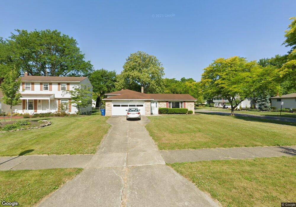
6212 Christman Dr North Olmsted, OH 44070
Estimated Value: $307,855 - $356,000
3
Beds
2
Baths
1,960
Sq Ft
$165/Sq Ft
Est. Value
About This Home
This home is located at 6212 Christman Dr, North Olmsted, OH 44070 and is currently estimated at $323,464, approximately $165 per square foot. 6212 Christman Dr is a home located in Cuyahoga County with nearby schools including Chestnut Intermediate Elementary School, Pine Intermediate School, and North Olmsted Middle School.
Ownership History
Date
Name
Owned For
Owner Type
Purchase Details
Closed on
Nov 26, 1996
Sold by
Smith Douglas W
Bought by
Rundle Michael J and Rundle Carol A
Current Estimated Value
Home Financials for this Owner
Home Financials are based on the most recent Mortgage that was taken out on this home.
Original Mortgage
$90,000
Outstanding Balance
$9,347
Interest Rate
7.94%
Mortgage Type
New Conventional
Estimated Equity
$314,117
Purchase Details
Closed on
May 7, 1996
Sold by
Irwin Elizabeth A
Bought by
Smith Douglas W
Purchase Details
Closed on
Jun 20, 1988
Sold by
Pitkin Wm P and Pitkin Linda S
Bought by
Irwin William H
Purchase Details
Closed on
Jan 1, 1975
Bought by
Pitkin Wm P and Pitkin Linda S
Create a Home Valuation Report for This Property
The Home Valuation Report is an in-depth analysis detailing your home's value as well as a comparison with similar homes in the area
Home Values in the Area
Average Home Value in this Area
Purchase History
| Date | Buyer | Sale Price | Title Company |
|---|---|---|---|
| Rundle Michael J | $135,000 | -- | |
| Smith Douglas W | $104,000 | -- | |
| Irwin William H | $90,000 | -- | |
| Pitkin Wm P | -- | -- |
Source: Public Records
Mortgage History
| Date | Status | Borrower | Loan Amount |
|---|---|---|---|
| Open | Rundle Michael J | $90,000 |
Source: Public Records
Tax History Compared to Growth
Tax History
| Year | Tax Paid | Tax Assessment Tax Assessment Total Assessment is a certain percentage of the fair market value that is determined by local assessors to be the total taxable value of land and additions on the property. | Land | Improvement |
|---|---|---|---|---|
| 2024 | $5,800 | $84,630 | $18,690 | $65,940 |
| 2023 | $5,397 | $66,080 | $14,700 | $51,380 |
| 2022 | $5,368 | $66,080 | $14,700 | $51,380 |
| 2021 | $4,858 | $66,080 | $14,700 | $51,380 |
| 2020 | $4,690 | $56,490 | $12,570 | $43,930 |
| 2019 | $4,564 | $161,400 | $35,900 | $125,500 |
| 2018 | $4,629 | $56,490 | $12,570 | $43,930 |
| 2017 | $4,356 | $48,940 | $10,890 | $38,050 |
| 2016 | $4,318 | $48,940 | $10,890 | $38,050 |
| 2015 | $4,283 | $48,940 | $10,890 | $38,050 |
| 2014 | $4,214 | $47,500 | $10,570 | $36,930 |
Source: Public Records
Map
Nearby Homes
- 6281 Christman Dr
- 6305 Christman Dr
- 6321 Brighton Dr
- 29408 Stewart Dr
- 30247 Lorain Rd
- 0 Stearns Rd
- 29667 Bretton Ridge Dr
- 6617 Sutton Dr
- 6723 Warrington Dr
- 5833 Stearns Rd
- 30630 Lorain Rd
- 6151 Sherwood Dr
- 28628 Aspen Dr
- 29861 Wellington Dr
- 28521 Aspen Dr
- 5461 Wellesley Ave
- 29600 Westminster Dr
- 6127 Mackenzie Rd
- 27083 Oakwood Cir Unit 105X
- 6427 Mackenzie Rd
- 6226 Christman Dr
- 6184 Christman Dr
- 6240 Christman Dr
- 29871 Cambridge Dr
- 6170 Christman Dr
- 6254 Christman Dr
- 6211 Christman Dr
- 6197 Christman Dr
- 6225 Christman Dr
- 29800 Cambridge Dr
- 29820 Cambridge Dr
- 6255 Surrey Dr
- 6183 Christman Dr
- 29840 Cambridge Dr
- 6239 Christman Dr
- 6156 Christman Dr
- 6268 Christman Dr
- 6169 Christman Dr
- 29872 Cambridge Dr
- 6253 Christman Dr