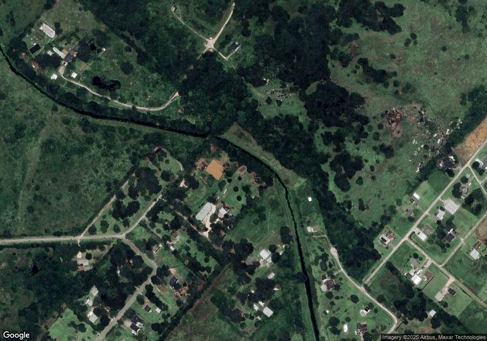
6215 Cemetary Rd Unit 96 Manvel, TX 77578
Estimated Value: $502,000 - $640,000
--
Bed
2
Baths
3,140
Sq Ft
$176/Sq Ft
Est. Value
About This Home
This home is located at 6215 Cemetary Rd Unit 96, Manvel, TX 77578 and is currently estimated at $554,110, approximately $176 per square foot. 6215 Cemetary Rd Unit 96 is a home located in Brazoria County with nearby schools including E.C. Mason Elementary School and Manvel High School.
Ownership History
Date
Name
Owned For
Owner Type
Purchase Details
Closed on
May 16, 2007
Sold by
Lynn Dale Raymond G and Lynn Dale Margaret
Bought by
Wisnoski Stephanie K
Current Estimated Value
Home Financials for this Owner
Home Financials are based on the most recent Mortgage that was taken out on this home.
Original Mortgage
$173,000
Outstanding Balance
$105,173
Interest Rate
6.16%
Mortgage Type
Purchase Money Mortgage
Estimated Equity
$448,937
Purchase Details
Closed on
Feb 28, 1997
Sold by
Gallo David A and Gallo Bambi L
Bought by
Lynn Dale Raymond G and Lynn Dale Margaret
Home Financials for this Owner
Home Financials are based on the most recent Mortgage that was taken out on this home.
Original Mortgage
$74,000
Interest Rate
7.88%
Create a Home Valuation Report for This Property
The Home Valuation Report is an in-depth analysis detailing your home's value as well as a comparison with similar homes in the area
Home Values in the Area
Average Home Value in this Area
Purchase History
| Date | Buyer | Sale Price | Title Company |
|---|---|---|---|
| Wisnoski Stephanie K | -- | Stewart Title Brazoria | |
| Lynn Dale Raymond G | -- | -- |
Source: Public Records
Mortgage History
| Date | Status | Borrower | Loan Amount |
|---|---|---|---|
| Open | Wisnoski Stephanie K | $173,000 | |
| Previous Owner | Lynn Dale Raymond G | $74,000 |
Source: Public Records
Tax History Compared to Growth
Tax History
| Year | Tax Paid | Tax Assessment Tax Assessment Total Assessment is a certain percentage of the fair market value that is determined by local assessors to be the total taxable value of land and additions on the property. | Land | Improvement |
|---|---|---|---|---|
| 2025 | $9,304 | $507,571 | $255,060 | $328,840 |
| 2023 | $9,304 | $419,480 | $318,830 | $271,570 |
| 2022 | $10,299 | $381,345 | $151,970 | $234,610 |
| 2021 | $9,808 | $356,150 | $135,470 | $220,680 |
| 2020 | $9,104 | $358,870 | $135,470 | $223,400 |
| 2019 | $8,610 | $286,510 | $95,520 | $190,990 |
| 2018 | $7,815 | $303,460 | $99,870 | $203,590 |
| 2017 | $7,174 | $299,580 | $103,970 | $195,610 |
| 2016 | $6,522 | $305,210 | $96,960 | $208,250 |
| 2014 | $4,936 | $238,880 | $71,820 | $167,060 |
Source: Public Records
Map
Nearby Homes
- 1 Wolfe Ln
- 807 Starduster
- 19 Hal McClain
- 5035 Prairie Gourd Meadow
- 5102 Pomegranate Path
- 6655 Cemetery Rd
- 135 Taxi Way Nine
- 141 Taxi Way Nine
- 142 Taxi Way Nine
- 137 Taxi Way Nine
- 138 Taxi Way Nine
- 7643 Dalmolin Rd
- 9108 Quail Ridge Dr
- 8814 Taxi Way 3
- 21214 Creek Rd
- 21219 Horse Shoe Dr
- 00 Belcher Road - Cr 397 Rd
- 0 Belcher Rd
- 0 Lewis Ln
- 7315 Pine St
- 6225 Cemetary Rd Unit 96
- 6407 Crestridge St
- 6002 Airpark Rd
- 6319 Cemetary Rd
- 6406 Crestridge St
- 6415 Crestridge St
- 6503 Crestridge St
- 6305 Cemetary Rd Unit 96
- Lot 7 & 8 Hal Mclain Rd
- 0 Hal Mclain Rd
- Wolfe Airpark Rd
- 6228 Louisiana St
- 6507 Crestridge St
- 6506 Crestridge St
- 0 Crestridge St
- 6016 Airpark Rd
- lot 19 Hal Mclain Rd
- 6511 Crestridge St
- 810 Hal Mclain Rd
- 6602 Mississippi Rd
