Estimated Value: $292,788 - $358,000
3
Beds
3
Baths
1,766
Sq Ft
$184/Sq Ft
Est. Value
About This Home
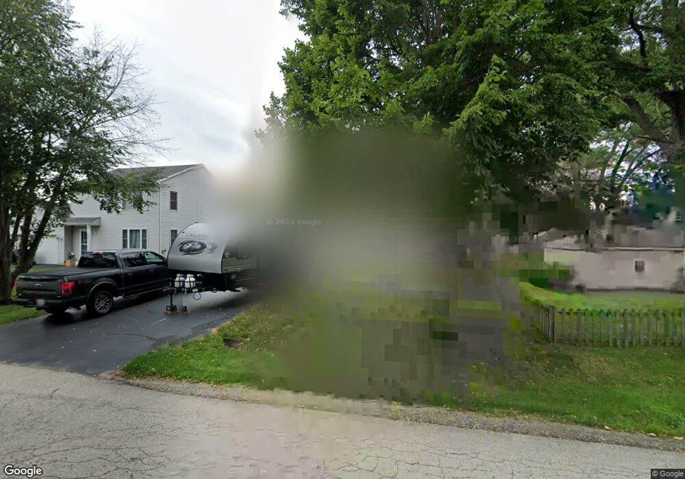
This home is located at 6215 Robert Rd, Cary, IL 60013 and is currently estimated at $325,697, approximately $184 per square foot. 6215 Robert Rd is a home located in McHenry County with nearby schools including Deer Path Elementary School, Cary Jr High School, and Cary-Grove High School.
Ownership History
Date
Name
Owned For
Owner Type
Purchase Details
Closed on
Sep 23, 2025
Current Estimated Value
Purchase Details
Closed on
Dec 31, 2004
Home Financials for this Owner
Home Financials are based on the most recent Mortgage that was taken out on this home.
Original Mortgage
$162,000
Interest Rate
5.77%
Mortgage Type
Unknown
Purchase Details
Closed on
Jul 9, 2002
Home Financials for this Owner
Home Financials are based on the most recent Mortgage that was taken out on this home.
Original Mortgage
$139,200
Interest Rate
5.62%
Purchase Details
Closed on
Jun 13, 1994
Sold by
Dzieciol Julius and Dzieciol Teresa
Create a Home Valuation Report for This Property
The Home Valuation Report is an in-depth analysis detailing your home's value as well as a comparison with similar homes in the area
Home Values in the Area
Average Home Value in this Area
Purchase History
| Date | Buyer | Sale Price | Title Company |
|---|---|---|---|
| -- | -- | None Listed On Document | |
| -- | $212,000 | Attorneys Title Guaranty Fun | |
| -- | $174,000 | -- | |
| -- | $40,000 | -- |
Source: Public Records
Mortgage History
| Date | Status | Borrower | Loan Amount |
|---|---|---|---|
| Previous Owner | -- | $162,000 | |
| Previous Owner | -- | $139,200 | |
| Closed | -- | $14,800 |
Source: Public Records
Tax History
| Year | Tax Paid | Tax Assessment Tax Assessment Total Assessment is a certain percentage of the fair market value that is determined by local assessors to be the total taxable value of land and additions on the property. | Land | Improvement |
|---|---|---|---|---|
| 2024 | $6,354 | $94,980 | $8,956 | $86,024 |
| 2023 | $6,203 | $84,948 | $8,010 | $76,938 |
| 2022 | $5,419 | $72,229 | $10,359 | $61,870 |
| 2021 | $5,155 | $67,290 | $9,651 | $57,639 |
| 2020 | $4,995 | $64,908 | $9,309 | $55,599 |
| 2019 | $4,892 | $62,125 | $8,910 | $53,215 |
| 2018 | $5,400 | $66,419 | $8,231 | $58,188 |
| 2017 | $5,291 | $62,571 | $7,754 | $54,817 |
| 2016 | $5,252 | $58,686 | $7,273 | $51,413 |
| 2013 | -- | $53,337 | $6,784 | $46,553 |
Source: Public Records
Map
Nearby Homes
- 6305 Robert Rd
- 5 Echo Hill Rd
- 16 Ash Dr
- 2819 Sun Valley Dr
- 6606 Silver Lake Rd
- 3408 Royal Woods Dr
- 211 Woody Way
- 203 Valley Dr
- 317 Sterling Cir
- 237 Foxford Dr
- 6418 Carrie Ct
- 331 Parkstone Dr
- 6105 N Wyndwood Dr
- 1293 W Lake Dr
- 3810 Church Hill Ln
- Lot 10 Grove Ln
- Lot 11 Grove Ln
- 134 Bright Oaks Cir
- 1141 Westlake Dr
- 1161 Amber Dr
- 6201 Robert Rd
- 2613 N Lane Rd
- 2613 North Ln
- 2611 North Ln
- 6116 Lake Shore Dr
- 6203 Robert Rd
- 6114 Lake Shore Dr
- 6202 Lake Shore Dr
- 6116 Robert Rd
- 6204 Lake Shore Dr
- 6202 Robert Rd
- 2607 North Ln
- 6204 Robert Rd
- 6307 Robert Rd
- 2616 Middle Ln
- 6206 Robert Rd
- 6206 Lake Shore Dr
- 2614 North Ln
- 2610 North Ln
- 6117 Silver Lake Trail
Your Personal Tour Guide
Ask me questions while you tour the home.