62154 Butterworth Rd Ashland, WI 54806
Estimated Value: $196,000 - $448,000
--
Bed
--
Bath
--
Sq Ft
20
Acres
About This Home
This home is located at 62154 Butterworth Rd, Ashland, WI 54806 and is currently estimated at $325,597. 62154 Butterworth Rd is a home located in Ashland County with nearby schools including Ashland High School, Lake Superior High, and Zion Lutheran Crhistian School.
Ownership History
Date
Name
Owned For
Owner Type
Purchase Details
Closed on
Oct 28, 2013
Sold by
Hudack Michael D and Hudack Wendy K
Bought by
Larson Travis P and Larson Nancy G
Current Estimated Value
Home Financials for this Owner
Home Financials are based on the most recent Mortgage that was taken out on this home.
Original Mortgage
$103,000
Outstanding Balance
$77,627
Interest Rate
4.5%
Mortgage Type
New Conventional
Estimated Equity
$247,970
Create a Home Valuation Report for This Property
The Home Valuation Report is an in-depth analysis detailing your home's value as well as a comparison with similar homes in the area
Home Values in the Area
Average Home Value in this Area
Purchase History
| Date | Buyer | Sale Price | Title Company |
|---|---|---|---|
| Larson Travis P | $110,000 | None Available |
Source: Public Records
Mortgage History
| Date | Status | Borrower | Loan Amount |
|---|---|---|---|
| Open | Larson Travis P | $103,000 |
Source: Public Records
Tax History Compared to Growth
Tax History
| Year | Tax Paid | Tax Assessment Tax Assessment Total Assessment is a certain percentage of the fair market value that is determined by local assessors to be the total taxable value of land and additions on the property. | Land | Improvement |
|---|---|---|---|---|
| 2024 | $3,818 | $182,400 | $22,800 | $159,600 |
| 2023 | $3,373 | $182,400 | $22,800 | $159,600 |
| 2022 | $3,155 | $182,400 | $22,800 | $159,600 |
| 2021 | $3,235 | $182,400 | $22,800 | $159,600 |
| 2020 | $3,075 | $182,400 | $22,800 | $159,600 |
| 2019 | $2,917 | $182,400 | $22,800 | $159,600 |
| 2018 | $2,807 | $182,400 | $22,800 | $159,600 |
| 2017 | $2,909 | $182,400 | $22,800 | $159,600 |
| 2016 | $3,099 | $182,400 | $22,800 | $159,600 |
| 2015 | $3,458 | $182,400 | $22,800 | $159,600 |
| 2014 | $3,136 | $182,400 | $22,800 | $159,600 |
| 2013 | $3,181 | $182,400 | $22,800 | $159,600 |
Source: Public Records
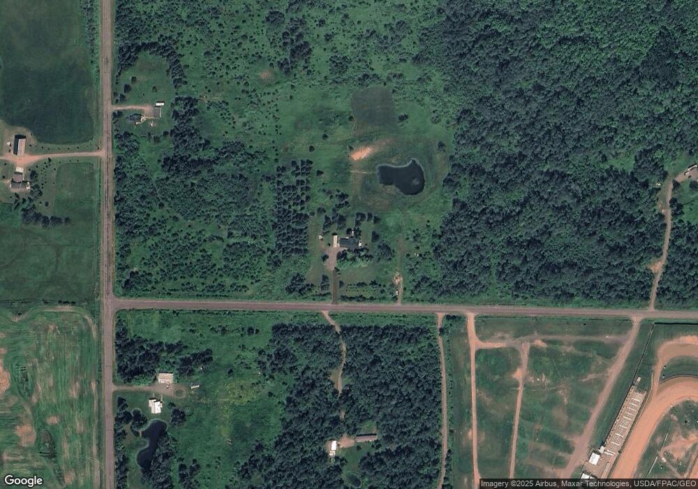
Map
Nearby Homes
- 48424 Beaser Rd
- 2213 Maple Ln
- 49746 Griffith Rd
- 60445 Summit Rd W
- 1707 Beaser Ave
- 48424 Beaser Ave
- 1508 11th Ave W
- 00 State Highway 13
- xx Sanborn Ave Unit Parcel 201-04811-000
- 2XX 22nd St
- 0000 Ashland Bayfield Rd
- 0000 Ellis Ave S
- 2XXX Ellis Ave S
- 0 Ellis Ave S
- 1xxx Ellis Ave
- 0000 City Heights Rd
- XXX 22nd St
- 2XXX 22nd St
- 000 City Heights Rd
- 917 Beaser Ave
- 62147 Butterworth Rd
- 49940 Beaser Rd
- 50144 Beaser Rd
- 62229 Butterworth Rd
- 50268 Beaser Rd
- 50268 Beaser Ave
- 62372 Butterworth Rd
- 49788 Beaser Rd
- 50259 Beaser Rd
- 50324 Beaser Rd
- 49748 Beaser Rd
- 49744 Beaser Rd
- 62550 Butterworth Rd
- 49742 Beaser Rd
- 50361 Beaser Rd
- 50401 Beaser Rd
- 61845 Weister Rd
- 49614 Beaser Rd
- 50525 Beaser Rd
- 62652 Butterworth Rd