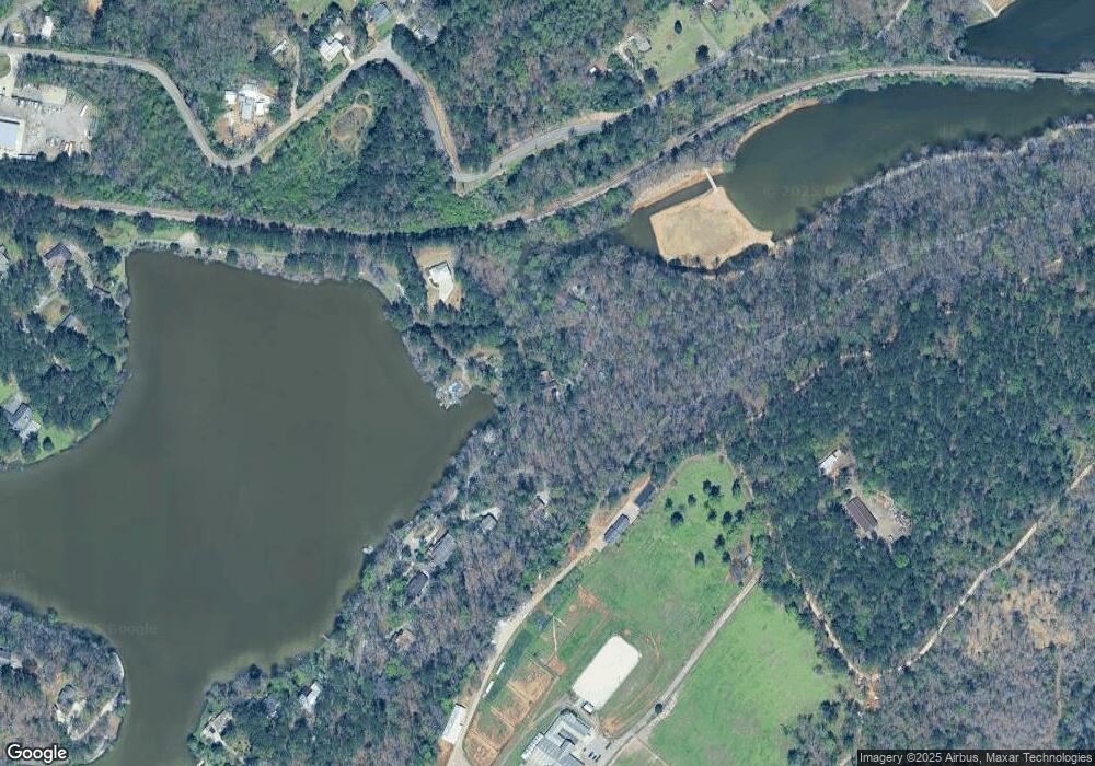
6216 Ransom Rd Birmingham, AL 35210
Estimated Value: $406,184 - $482,000
3
Beds
4
Baths
2,447
Sq Ft
$181/Sq Ft
Est. Value
About This Home
This home is located at 6216 Ransom Rd, Birmingham, AL 35210 and is currently estimated at $443,296, approximately $181 per square foot. 6216 Ransom Rd is a home located in Jefferson County with nearby schools including Irondale Community School, Irondale Middle School, and Shades Valley High School.
Ownership History
Date
Name
Owned For
Owner Type
Purchase Details
Closed on
Jun 25, 2018
Sold by
Bassouf
Bought by
Preston Frank Rogers and Preston Richard Neal
Current Estimated Value
Purchase Details
Closed on
May 30, 2018
Sold by
Green Preston Susan
Bought by
Hanson Sandra P
Purchase Details
Closed on
Apr 27, 2004
Sold by
Kassouf Gerard J and Preston Family Trust
Bought by
Box Robert E and Box Laura W
Home Financials for this Owner
Home Financials are based on the most recent Mortgage that was taken out on this home.
Original Mortgage
$58,300
Interest Rate
5.49%
Mortgage Type
Stand Alone Second
Create a Home Valuation Report for This Property
The Home Valuation Report is an in-depth analysis detailing your home's value as well as a comparison with similar homes in the area
Home Values in the Area
Average Home Value in this Area
Purchase History
| Date | Buyer | Sale Price | Title Company |
|---|---|---|---|
| Preston Frank Rogers | -- | -- | |
| Hanson Sandra P | -- | -- | |
| Box Robert E | $291,500 | -- |
Source: Public Records
Mortgage History
| Date | Status | Borrower | Loan Amount |
|---|---|---|---|
| Previous Owner | Box Robert E | $58,300 | |
| Previous Owner | Box Robert E | $233,200 |
Source: Public Records
Tax History Compared to Growth
Tax History
| Year | Tax Paid | Tax Assessment Tax Assessment Total Assessment is a certain percentage of the fair market value that is determined by local assessors to be the total taxable value of land and additions on the property. | Land | Improvement |
|---|---|---|---|---|
| 2024 | $2,443 | $39,880 | -- | -- |
| 2022 | $1,644 | $29,970 | $7,500 | $22,470 |
| 2021 | $1,644 | $29,970 | $7,500 | $22,470 |
| 2020 | $1,644 | $29,970 | $7,500 | $22,470 |
| 2019 | $1,644 | $29,980 | $0 | $0 |
| 2018 | $1,736 | $31,600 | $0 | $0 |
| 2017 | $1,736 | $31,600 | $0 | $0 |
| 2016 | $1,736 | $31,600 | $0 | $0 |
| 2015 | $1,736 | $31,600 | $0 | $0 |
| 2014 | $1,564 | $27,640 | $0 | $0 |
| 2013 | $1,564 | $27,640 | $0 | $0 |
Source: Public Records
Map
Nearby Homes
- 6242 Ransom Rd
- 6385 Ransom Rd
- 533 Birmingham Ave
- 300 Alabama Blvd Unit 10
- 328 Alabama Blvd Unit 328
- 3012 2nd St
- 411 Glen Cross Way
- 6215 Mountain Ridge Rd Unit 4
- 387 Glen Cross Way
- 394 Glen Cross Way
- 374 Glen Cross Way
- 351 Glen Cross Way
- 117 Alabama Blvd
- 5490 Azalea Trace
- 350 Glen Cross Way
- 331 Glen Cross Way
- 426 Glen Cross Cove Unit 2
- 6534 Mountain Ridge Rd
- 318 Glen Cross Way
- 5489 Wisteria Trace
- 6200 Ransom Rd
- 6194 Ransom Rd
- 6260 Ransom Rd
- 6270 Ransom Rd
- 2878 Queenstown Rd
- 6284 Ransom Rd
- 2877 Queenstown Rd
- 6300 Ransom Rd
- 6301 Ransom Rd
- 2873 Queenstown Rd
- 6316 Ransom Rd
- 2880 Queenstown Rd
- 2879 Queenstown Rd
- 2831 Queenstown Rd
- 2872 Queenstown Rd
- 6317 Ransom Rd
- 549 Mobile Ave
- 545 Mobile Ave
- 6339 Ransom Rd
- 2860 Queenstown Rd
