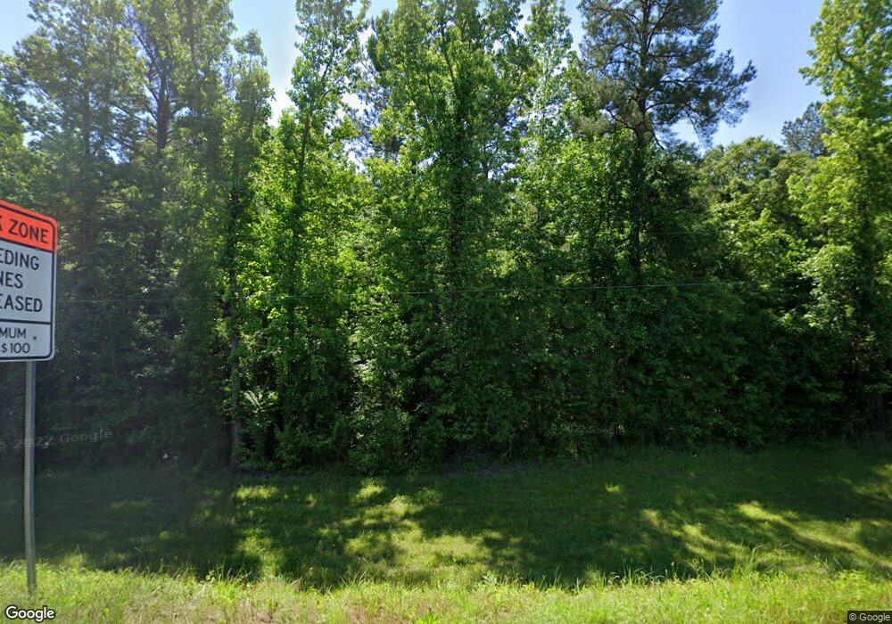
6217 Ga Highway 83 N Forsyth, GA 31029
Estimated Value: $152,000 - $303,000
--
Bed
--
Bath
--
Sq Ft
10.29
Acres
About This Home
This home is located at 6217 Ga Highway 83 N, Forsyth, GA 31029 and is currently estimated at $222,054. 6217 Ga Highway 83 N is a home with nearby schools including Katherine B. Sutton Elementary School and Mary Persons High School.
Ownership History
Date
Name
Owned For
Owner Type
Purchase Details
Closed on
Apr 15, 2020
Sold by
London Matthew C
Bought by
Gross Daniel and Stewart Elizabeth
Current Estimated Value
Purchase Details
Closed on
Aug 28, 2015
Sold by
Johnson Benjamin D
Bought by
London Matthew C and London Donna L
Purchase Details
Closed on
Feb 4, 2015
Sold by
Payne Woodrow W
Bought by
Johnson Benjamin D
Purchase Details
Closed on
Jan 28, 2005
Sold by
Pittman Charles Frank
Bought by
Payne Woodrow W
Purchase Details
Closed on
Dec 31, 2001
Sold by
James Emory Inc
Bought by
Pittman Charles Frank
Create a Home Valuation Report for This Property
The Home Valuation Report is an in-depth analysis detailing your home's value as well as a comparison with similar homes in the area
Home Values in the Area
Average Home Value in this Area
Purchase History
| Date | Buyer | Sale Price | Title Company |
|---|---|---|---|
| Gross Daniel | $85,000 | -- | |
| London Matthew C | $88,000 | -- | |
| Johnson Benjamin D | $65,000 | -- | |
| Payne Woodrow W | $60,000 | -- | |
| Pittman Charles Frank | $42,500 | -- |
Source: Public Records
Tax History Compared to Growth
Tax History
| Year | Tax Paid | Tax Assessment Tax Assessment Total Assessment is a certain percentage of the fair market value that is determined by local assessors to be the total taxable value of land and additions on the property. | Land | Improvement |
|---|---|---|---|---|
| 2024 | $1,138 | $42,120 | $29,840 | $12,280 |
| 2023 | $1,188 | $42,120 | $29,840 | $12,280 |
| 2022 | $1,140 | $42,120 | $29,840 | $12,280 |
| 2021 | $1,180 | $42,120 | $29,840 | $12,280 |
| 2020 | $857 | $29,840 | $29,840 | $0 |
| 2019 | $864 | $29,840 | $29,840 | $0 |
| 2018 | $867 | $29,840 | $29,840 | $0 |
| 2017 | $867 | $29,840 | $29,840 | $0 |
| 2016 | $825 | $29,840 | $29,840 | $0 |
| 2015 | $704 | $26,880 | $26,880 | $0 |
| 2014 | $754 | $29,840 | $29,840 | $0 |
Source: Public Records
Map
Nearby Homes
- 115 Old Stewart Rd
- 0 Ga Highway 87 Unit 1 162113
- 0 Watson Road East Tract 7 Unit 179268
- 2594 Lassiter Rd
- 00000 Hwy 87 Tract 5
- 0000 Watson Rd
- 0 Hwy 87 Tract 1
- 00 Hwy 87 Tract 2
- 12820 Ga Highway 87
- 000 Hwy 87 Tract 3
- 717 Giles Rd
- 709 Giles Rd
- LOT 3 Giles Rd
- 671 Giles Rd
- 659 Giles Rd
- 5543 Juliette Rd
- 27 Old Cork Rd
- 2387 Lassiter Rd
- 2378 Lassiter Rd
- 3442 Highway 83 N
- 6213 Ga Highway 83 N
- 6223 Ga Highway 83 N
- Lot 4 Hwy 83
- 0 Hwy 83
- 6244 Ga Highway 83 N
- 6243 Ga Highway 83 N
- 6243 Ga Highway 83 N
- 0 Hwy 83 N Unit LOT 11 7104293
- 0 Highway 83 N Unit 156769
- 0 Highway 83 N Unit 7221416
- 0 Hwy 83 N Unit LOT 9 7104279
- 0 Off Hwy 83 N Unit LOT 4 2851842
- 0 Hwy 83 N Unit M150793
- 0 Highway 83 N Unit 204848
- 0 Highway 83 N Unit 8845407
- 0 Highway 83 N Unit 7478229
- 0 Highway 83 N Unit 8413582
- 0 Highway 83 N Unit 8431954
- 0 Highway 83 N Unit 11 8334758
- 0 Highway 83 N Unit 8481374
