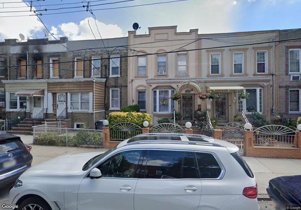
6218 60th Dr Maspeth, NY 11378
Maspeth NeighborhoodEstimated Value: $916,366 - $1,033,000
Studio
--
Bath
2,096
Sq Ft
$465/Sq Ft
Est. Value
About This Home
This home is located at 6218 60th Dr, Maspeth, NY 11378 and is currently estimated at $973,842, approximately $464 per square foot. 6218 60th Dr is a home located in Queens County with nearby schools including P.S. 153 Maspeth, IS 73 - The Frank Sansivieri School, and Grover Cleveland High School.
Ownership History
Date
Name
Owned For
Owner Type
Purchase Details
Closed on
Apr 29, 2009
Sold by
Deninno Otto and Deninno Phyllis
Bought by
Deninno Phyllis
Current Estimated Value
Purchase Details
Closed on
Apr 10, 1997
Sold by
Kosich Theresa and Deninno Phyllis
Bought by
Deninno Otto I and Deninno Phyllis
Home Financials for this Owner
Home Financials are based on the most recent Mortgage that was taken out on this home.
Original Mortgage
$90,000
Interest Rate
7.98%
Create a Home Valuation Report for This Property
The Home Valuation Report is an in-depth analysis detailing your home's value as well as a comparison with similar homes in the area
Home Values in the Area
Average Home Value in this Area
Purchase History
| Date | Buyer | Sale Price | Title Company |
|---|---|---|---|
| Deninno Phyllis | -- | -- | |
| Deninno Otto I | $88,500 | Uslife Title Insurance Compa |
Source: Public Records
Mortgage History
| Date | Status | Borrower | Loan Amount |
|---|---|---|---|
| Previous Owner | Deninno Otto I | $90,000 |
Source: Public Records
Tax History
| Year | Tax Paid | Tax Assessment Tax Assessment Total Assessment is a certain percentage of the fair market value that is determined by local assessors to be the total taxable value of land and additions on the property. | Land | Improvement |
|---|---|---|---|---|
| 2025 | $3,561 | $39,196 | $5,036 | $34,160 |
| 2024 | $3,573 | $38,263 | $5,893 | $32,370 |
| 2023 | $3,346 | $36,116 | $4,906 | $31,210 |
| 2022 | $3,146 | $53,040 | $8,280 | $44,760 |
| 2021 | $3,142 | $50,220 | $8,280 | $41,940 |
| 2020 | $3,161 | $52,620 | $8,280 | $44,340 |
| 2019 | $3,042 | $51,840 | $8,280 | $43,560 |
| 2018 | $5,838 | $30,097 | $5,325 | $24,772 |
| 2017 | $5,543 | $28,663 | $6,219 | $22,444 |
| 2016 | $5,133 | $28,663 | $6,219 | $22,444 |
| 2015 | $3,042 | $27,219 | $7,799 | $19,420 |
| 2014 | $3,042 | $26,572 | $9,136 | $17,436 |
Source: Public Records
Map
Nearby Homes
- 62-18 60th Dr
- 6212 60th Dr
- 61-06 60th Dr
- 6144 Eliot Ave
- 62-63 60th Dr
- 60-23 61st St
- 5974 Fresh Pond Rd
- 6161 62nd Ave
- 60-58 60th Rd
- 61-24 65th St
- 61-05 65th St
- 60-28 60th Place
- 6204 62nd Rd
- 64-42 60th Rd
- 5911 Fresh Pond Rd
- 60-14 60th Ave
- 60-66 60th St
- 5803 Metropolitan Ave
- 6259 60th St
- 56-18 62nd Ave
- 6216 60th Dr
- 6214 60th Dr
- 6220 60th Dr
- 6222 60th Dr
- 62-22 60th Dr
- 62-22 60th Dr Unit A
- 6210 60th Dr
- 6224 60th Dr
- 62-10 60th Dr
- 62-24 60th Dr Unit 2
- 6153 Eliot Ave
- 6155 Eliot Ave
- 6151 Eliot Ave
- 6226 60th Dr
- 6157 Eliot Ave Unit 1
- 6157 Eliot Ave
- 6149 Eliot Ave
- 6061 Fresh Pond Rd
- 6159 Eliot Ave
- 6147 Eliot Ave
Your Personal Tour Guide
Ask me questions while you tour the home.