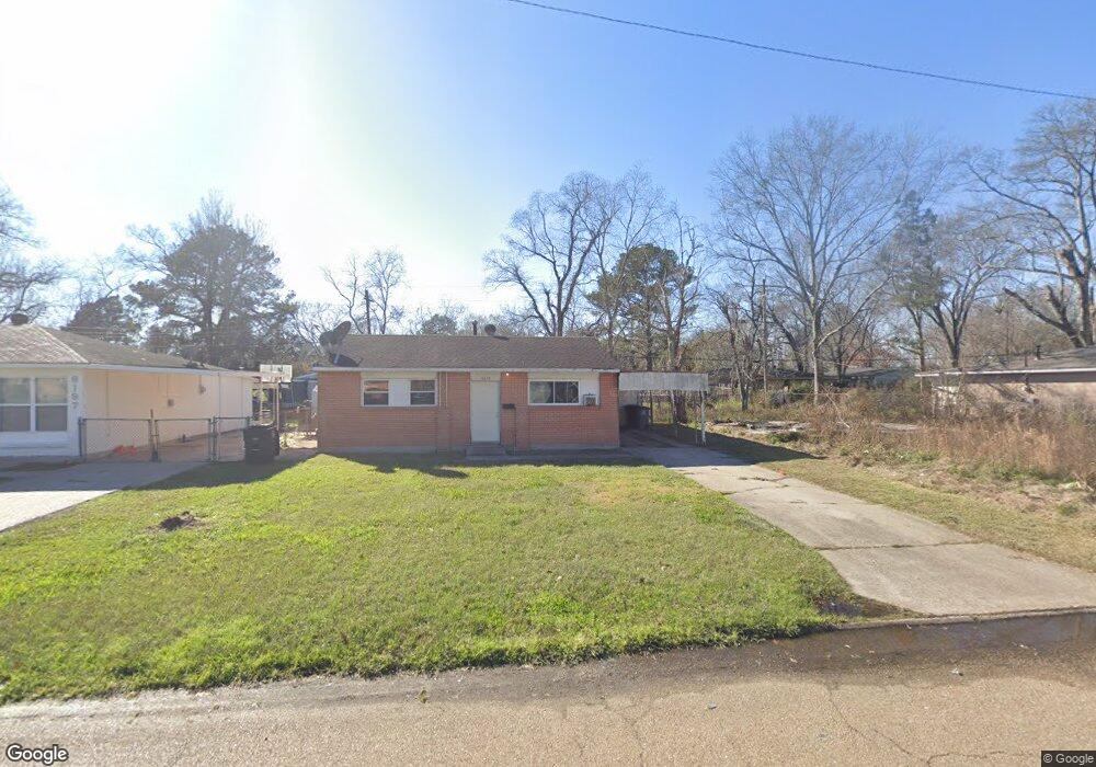
6219 Matthews St Unit 1 Baton Rouge, LA 70812
Merrydale NeighborhoodEstimated Value: $48,000 - $80,000
2
Beds
1
Bath
768
Sq Ft
$84/Sq Ft
Est. Value
About This Home
This home is located at 6219 Matthews St Unit 1, Baton Rouge, LA 70812 and is currently estimated at $64,525, approximately $84 per square foot. 6219 Matthews St Unit 1 is a home located in East Baton Rouge Parish with nearby schools including Glen Oaks Park Elementary School, Glen Oaks Senior High School, and Celerity Lanier Charter School.
Ownership History
Date
Name
Owned For
Owner Type
Purchase Details
Closed on
Mar 24, 2000
Sold by
Nmdp Llc
Bought by
Edwards Larissa Bell
Current Estimated Value
Home Financials for this Owner
Home Financials are based on the most recent Mortgage that was taken out on this home.
Original Mortgage
$46,800
Interest Rate
12%
Purchase Details
Closed on
Feb 28, 2000
Sold by
Pinell Richard H
Bought by
Nmdp Llc
Home Financials for this Owner
Home Financials are based on the most recent Mortgage that was taken out on this home.
Original Mortgage
$46,800
Interest Rate
12%
Create a Home Valuation Report for This Property
The Home Valuation Report is an in-depth analysis detailing your home's value as well as a comparison with similar homes in the area
Home Values in the Area
Average Home Value in this Area
Purchase History
| Date | Buyer | Sale Price | Title Company |
|---|---|---|---|
| Edwards Larissa Bell | $56,000 | -- | |
| Nmdp Llc | $20,000 | -- |
Source: Public Records
Mortgage History
| Date | Status | Borrower | Loan Amount |
|---|---|---|---|
| Closed | Edwards Larissa Bell | $46,800 | |
| Closed | Nmdp Llc | $40,000 | |
| Closed | Edwards Larissa Bell | $9,200 |
Source: Public Records
Tax History Compared to Growth
Tax History
| Year | Tax Paid | Tax Assessment Tax Assessment Total Assessment is a certain percentage of the fair market value that is determined by local assessors to be the total taxable value of land and additions on the property. | Land | Improvement |
|---|---|---|---|---|
| 2024 | $476 | $3,271 | $493 | $2,778 |
| 2023 | $478 | $2,920 | $440 | $2,480 |
| 2022 | $435 | $2,920 | $440 | $2,480 |
| 2021 | $429 | $2,920 | $440 | $2,480 |
| 2020 | $433 | $2,920 | $440 | $2,480 |
| 2019 | $408 | $2,650 | $400 | $2,250 |
| 2018 | $404 | $2,650 | $400 | $2,250 |
| 2017 | $404 | $2,650 | $400 | $2,250 |
| 2016 | $288 | $1,863 | $400 | $1,463 |
| 2015 | $394 | $2,600 | $400 | $2,200 |
| 2014 | $393 | $2,600 | $400 | $2,200 |
| 2013 | -- | $2,600 | $400 | $2,200 |
Source: Public Records
Map
Nearby Homes
- 6155 Pontotoc St
- 6022 E Fairlane Ct
- 6032 Matthews St
- 5965 Denova St
- 5837 Denova St
- 7341 Whitney Dr
- 6411 Landis Dr
- 6868 Oak Glen Dr
- 5726 Matthews St
- 5723 Hartford Ave
- 5911 Benson Dr
- 6821 Oak Glen Dr
- 6822 Oak Park Dr
- 6744 Dalark Dr
- 7672 Sumrall Dr
- 7242 Perimeter Dr
- 6970 Coronet Dr
- 6778 Glen Echo Dr
- 7915 Mickens Rd
- 7925 Mickens Rd
- 6219 Matthews St
- 6233 Matthews St
- 6197 Matthews St
- 6241 Matthews St
- 6250 Flag St
- 6185 Matthews St
- 6232 Flag St
- 6236 Flag St
- 6286 Flag St
- 6220 Matthews St
- 6255 Matthews St
- 6234 Matthew
- 6173 Matthews St
- 6234 Matthews St
- 6222 Flag St
- 6242 Matthews St
- 6326 Flag St
- 6186 Matthews St
- 6178 Flag St
- 6267 Matthews St