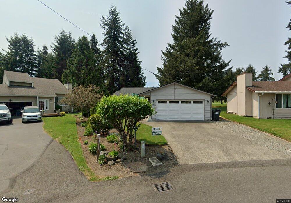
6219 Saint Andrews Dr SE Olympia, WA 98513
Horizons NeighborhoodEstimated Value: $456,000 - $494,000
3
Beds
2
Baths
1,496
Sq Ft
$317/Sq Ft
Est. Value
About This Home
This home is located at 6219 Saint Andrews Dr SE, Olympia, WA 98513 and is currently estimated at $473,608, approximately $316 per square foot. 6219 Saint Andrews Dr SE is a home located in Thurston County with nearby schools including Chambers Prairie Elementary School, Komachin Middle School, and Timberline High School.
Ownership History
Date
Name
Owned For
Owner Type
Purchase Details
Closed on
Nov 29, 2018
Sold by
Sheppard James Michael
Bought by
Due Pauline D
Current Estimated Value
Home Financials for this Owner
Home Financials are based on the most recent Mortgage that was taken out on this home.
Original Mortgage
$155,000
Outstanding Balance
$136,831
Interest Rate
4.9%
Mortgage Type
New Conventional
Estimated Equity
$336,777
Create a Home Valuation Report for This Property
The Home Valuation Report is an in-depth analysis detailing your home's value as well as a comparison with similar homes in the area
Home Values in the Area
Average Home Value in this Area
Purchase History
| Date | Buyer | Sale Price | Title Company |
|---|---|---|---|
| Due Pauline D | $255,000 | Thurston County Title Co |
Source: Public Records
Mortgage History
| Date | Status | Borrower | Loan Amount |
|---|---|---|---|
| Open | Due Pauline D | $155,000 |
Source: Public Records
Tax History Compared to Growth
Tax History
| Year | Tax Paid | Tax Assessment Tax Assessment Total Assessment is a certain percentage of the fair market value that is determined by local assessors to be the total taxable value of land and additions on the property. | Land | Improvement |
|---|---|---|---|---|
| 2024 | $3,987 | $433,000 | $220,000 | $213,000 |
| 2023 | $3,987 | $416,900 | $207,500 | $209,400 |
| 2022 | $3,773 | $399,600 | $135,200 | $264,400 |
| 2021 | $3,496 | $323,700 | $110,400 | $213,300 |
| 2020 | $3,250 | $271,700 | $106,900 | $164,800 |
| 2019 | $2,808 | $259,600 | $112,200 | $147,400 |
| 2018 | $3,087 | $220,200 | $96,300 | $123,900 |
| 2017 | $2,758 | $204,400 | $83,300 | $121,100 |
| 2016 | $2,592 | $189,600 | $67,000 | $122,600 |
| 2014 | -- | $188,600 | $67,000 | $121,600 |
Source: Public Records
Map
Nearby Homes
- 5519 65th Ave SE
- 6620 Ruddell Rd SE
- 5922 Illinois Ln SE Unit A
- 6527 Indiana St SE
- 6628 Carolina St SE
- 5522 66th Way SE
- 6008 Thornbury Dr SE
- 6034 Illinois Ln SE Unit B
- 6038 Illinois Ln SE Unit A
- 5215 58th Ave SE
- 5275 66th Ave SE
- 5509 Topaz St SE
- 5532 Mountain Green Ln SE
- 6112 Thornbury Ct SE
- 5516 Chelan Ln SE
- 5514 Asotin Ln SE
- 5410 Chelan Ln SE
- 5609 Parkside Dr SE
- 5428 70th Way SE
- 5305 Yakima Ln SE
- 5513 63rd Ave SE
- 6215 Saint Andrews Dr SE
- 5517 63rd Ave SE
- 5510 64th Ct SE
- 6211 Saint Andrews Dr SE
- 6214 Saint Andrews Dr SE
- 5521 63rd Ave SE
- 6214 St Andrews St SE
- 6210 Saint Andrews Dr SE
- 5520 64th Ct SE
- 6207 Saint Andrews Dr SE
- 6307 Ruddell Rd SE
- 5526 63rd Ave SE
- 6317 Ruddell Rd SE
- 6206 Saint Andrews Dr SE
- 6209 Ruddell Rd SE
- 5515 64th Ct SE
- 6203 Saint Andrews Dr SE
- 5519 64th Ct SE