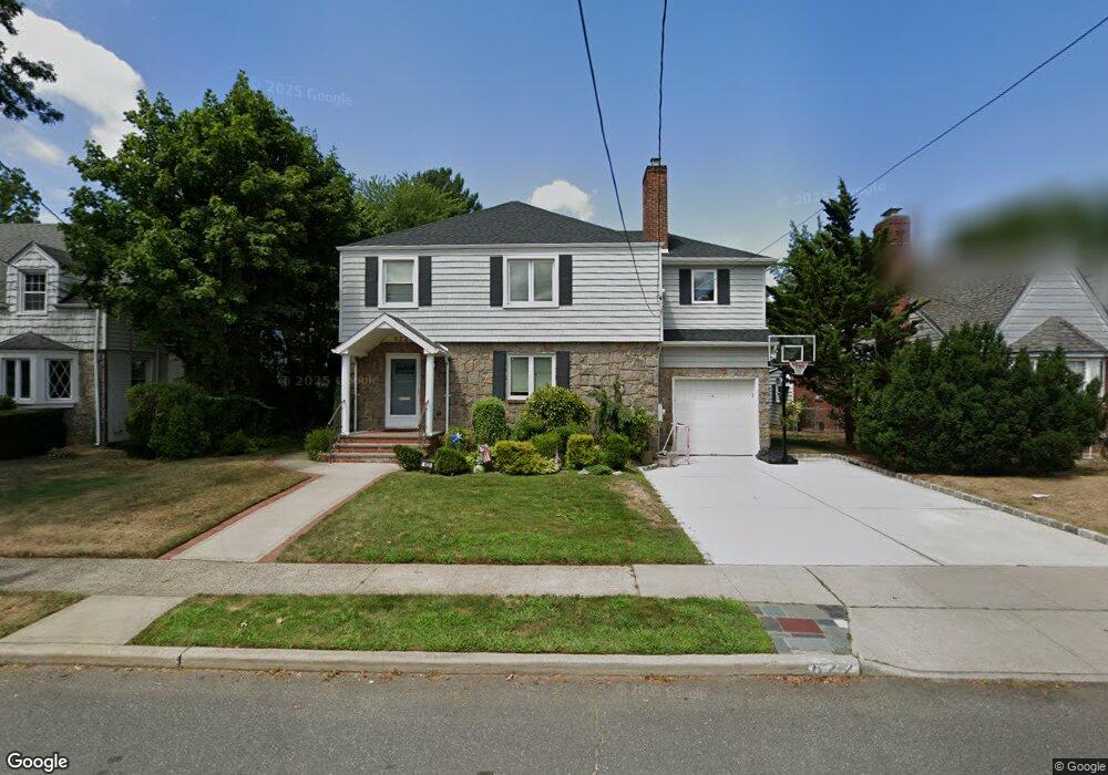
622 Adams Ave West Hempstead, NY 11552
Estimated Value: $914,000 - $1,005,390
--
Bed
2
Baths
2,185
Sq Ft
$439/Sq Ft
Est. Value
About This Home
This home is located at 622 Adams Ave, West Hempstead, NY 11552 and is currently estimated at $959,695, approximately $439 per square foot. 622 Adams Ave is a home located in Nassau County with nearby schools including Chestnut Street School, West Hempstead Secondary School, and Hebrew Academy of Nassau County (HANC).
Ownership History
Date
Name
Owned For
Owner Type
Purchase Details
Closed on
Apr 30, 2012
Sold by
Melnick Shirley
Bought by
Zurndorfer David and Hersh Jennifer
Current Estimated Value
Home Financials for this Owner
Home Financials are based on the most recent Mortgage that was taken out on this home.
Original Mortgage
$280,000
Outstanding Balance
$194,905
Interest Rate
4%
Mortgage Type
Purchase Money Mortgage
Estimated Equity
$764,790
Create a Home Valuation Report for This Property
The Home Valuation Report is an in-depth analysis detailing your home's value as well as a comparison with similar homes in the area
Home Values in the Area
Average Home Value in this Area
Purchase History
| Date | Buyer | Sale Price | Title Company |
|---|---|---|---|
| Zurndorfer David | $402,500 | Sutton Land Title Agency |
Source: Public Records
Mortgage History
| Date | Status | Borrower | Loan Amount |
|---|---|---|---|
| Open | Zurndorfer David | $280,000 |
Source: Public Records
Tax History Compared to Growth
Tax History
| Year | Tax Paid | Tax Assessment Tax Assessment Total Assessment is a certain percentage of the fair market value that is determined by local assessors to be the total taxable value of land and additions on the property. | Land | Improvement |
|---|---|---|---|---|
| 2025 | $17,133 | $675 | $277 | $398 |
| 2024 | $4,766 | $646 | $265 | $381 |
| 2023 | $12,249 | $549 | $257 | $292 |
| 2022 | $12,249 | $602 | $282 | $320 |
| 2021 | $14,907 | $575 | $238 | $337 |
| 2020 | $9,019 | $613 | $600 | $13 |
| 2019 | $10,000 | $656 | $602 | $54 |
| 2018 | $10,049 | $700 | $0 | $0 |
| 2017 | $6,365 | $725 | $608 | $117 |
| 2016 | $9,986 | $725 | $456 | $269 |
| 2015 | $3,563 | $765 | $482 | $283 |
| 2014 | $3,563 | $765 | $482 | $283 |
| 2013 | $4,525 | $988 | $642 | $346 |
Source: Public Records
Map
Nearby Homes
- 613 Adams Ave
- 635 Hempstead Ave
- 590 Langley Ave
- 518 Nassau Blvd
- 686 Tanwood Dr
- 537 Madison Ave
- 350 Paul Place
- 303 Nassau Blvd
- 582 Gaynor Place
- 19 Richard St
- 576 Western Park Dr
- 321 Oakford St
- 757 Harrison St
- 467 Susan Ct
- 474 Roy St
- 600 Dogwood Ave
- 279 Semton Blvd
- 231 Dogwood Ave
- 198 Guildford Ct
- 126 Oakland Ave