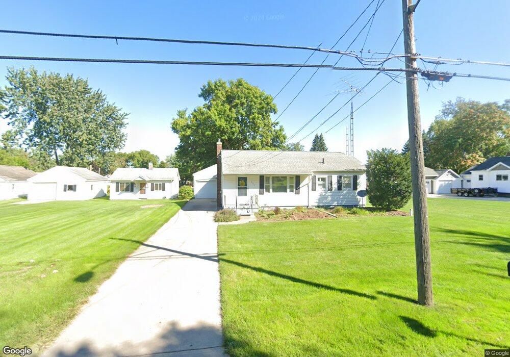
622 Andrew Ave Jackson, MI 49202
Estimated Value: $135,002 - $154,000
Studio
--
Bath
864
Sq Ft
$168/Sq Ft
Est. Value
About This Home
This home is located at 622 Andrew Ave, Jackson, MI 49202 and is currently estimated at $145,251, approximately $168 per square foot. 622 Andrew Ave is a home located in Jackson County with nearby schools including Northwest Early Elementary School, Northwest Elementary School, and Northwest Middle School.
Ownership History
Date
Name
Owned For
Owner Type
Purchase Details
Closed on
Jun 10, 2021
Sold by
Zakrzewski Ellen A
Bought by
Faber Richard and Faber Linda L
Current Estimated Value
Purchase Details
Closed on
Feb 12, 2020
Sold by
Zaske Edward Joseph
Bought by
Zaske Edward Joseph and The Edward Joseph Zaske Living Trust
Purchase Details
Closed on
Sep 18, 2007
Sold by
Zakrzewski Ellen A
Bought by
Faber Linda L and Zaske Edward J
Create a Home Valuation Report for This Property
The Home Valuation Report is an in-depth analysis detailing your home's value as well as a comparison with similar homes in the area
Home Values in the Area
Average Home Value in this Area
Purchase History
| Date | Buyer | Sale Price | Title Company |
|---|---|---|---|
| Faber Richard | -- | None Available | |
| Zakrzewski Ellen A | -- | None Available | |
| Zaske Edward Joseph | -- | None Available | |
| Faber Linda L | -- | Attorney |
Source: Public Records
Tax History
| Year | Tax Paid | Tax Assessment Tax Assessment Total Assessment is a certain percentage of the fair market value that is determined by local assessors to be the total taxable value of land and additions on the property. | Land | Improvement |
|---|---|---|---|---|
| 2025 | $1,495 | $75,300 | $0 | $0 |
| 2024 | $7 | $71,250 | $0 | $0 |
| 2023 | $670 | $67,800 | $0 | $0 |
| 2022 | $1,348 | $58,100 | $0 | $0 |
| 2021 | $1,324 | $51,000 | $0 | $0 |
| 2020 | $1,312 | $47,700 | $0 | $0 |
| 2019 | $1,280 | $45,900 | $0 | $0 |
| 2018 | $1,809 | $43,200 | $0 | $0 |
| 2017 | $1,730 | $44,500 | $0 | $0 |
| 2016 | $1,350 | $40,139 | $40,139 | $0 |
| 2015 | $1,667 | $35,347 | $35,347 | $0 |
| 2014 | $1,667 | $33,273 | $0 | $0 |
| 2013 | -- | $33,273 | $33,273 | $0 |
Source: Public Records
Map
Nearby Homes
- 735 Royal Dr
- 550 Royal Dr
- 520 Andrew Ave
- 951 W Monroe St
- 431 Madison St
- 1105 Clinton Rd
- 0 Shirley Dr Unit 24064060
- 1012 Lansing Ave
- 939 Backus St
- 919 Lincoln St
- 712 W North St
- 833 Backus St
- 828 Backus St
- 1422 Cooper St
- 319 W North St
- 0 Brookley Ave
- 1302 Cooper St
- 1802 W Argyle St
- 1135 Hamilton St
- 718 Center St
Your Personal Tour Guide
Ask me questions while you tour the home.